23rd – 26th May | Turkmenabat to Gonur Depe | Distance: 266km | Total Distance: 3940km
Day 60, Turkmenabat
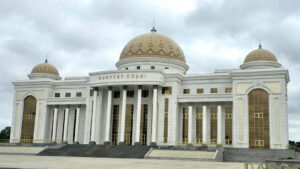
Turkmenistan’s second largest city, Turkmenabat, was adorned with eye-catching contemporary buildings that are intended to show off the power and wealth of the country; for example, the presidential palace is actually a folly, never used by the president.
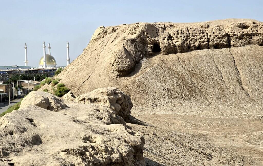
Turkmenabat was originally known as Amul, once one of the most important Silk Route cities in the region. I made it a priority to explore the ruins of Amul on my one day off the bike. Founded in the first century Amul remained a relatively small settlement until it was revived after the Arab conquest. The settlement grew into a large and wealthy trading centre by the 9th century. It had the advantage of being strategically located at a convenient point to get across the Amu Darya, and the city benefited from controlling who could make the crossing. It was also where two international routes met – one by land from Merv to Bukhara and China, and one along the river itself from India through Afghanistan. The name Amul is possibly where the Amu Darya got its name.
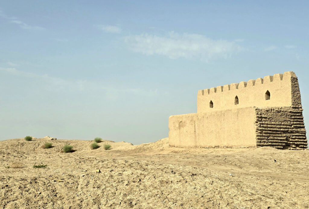
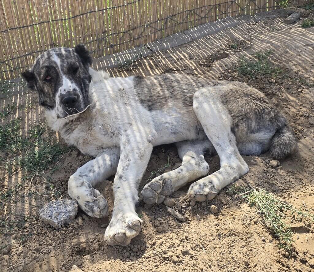
Our guide Oraz then took us to meet a breeder of Alabay dogs – revered in Turkmenistan for its ancient lineage and exceptional working abilities. The Alabay has been a loyal companion and guardian to nomadic tribes and households in the region for centuries. It had, and still has, remarkable skills in protecting livestock and property. Oraz claims pure-breds are the most expensive dog in the world.
Days 61, 62 – 128km, 138km
Turkmenabat to Fifteenth Anniversary of Independence village
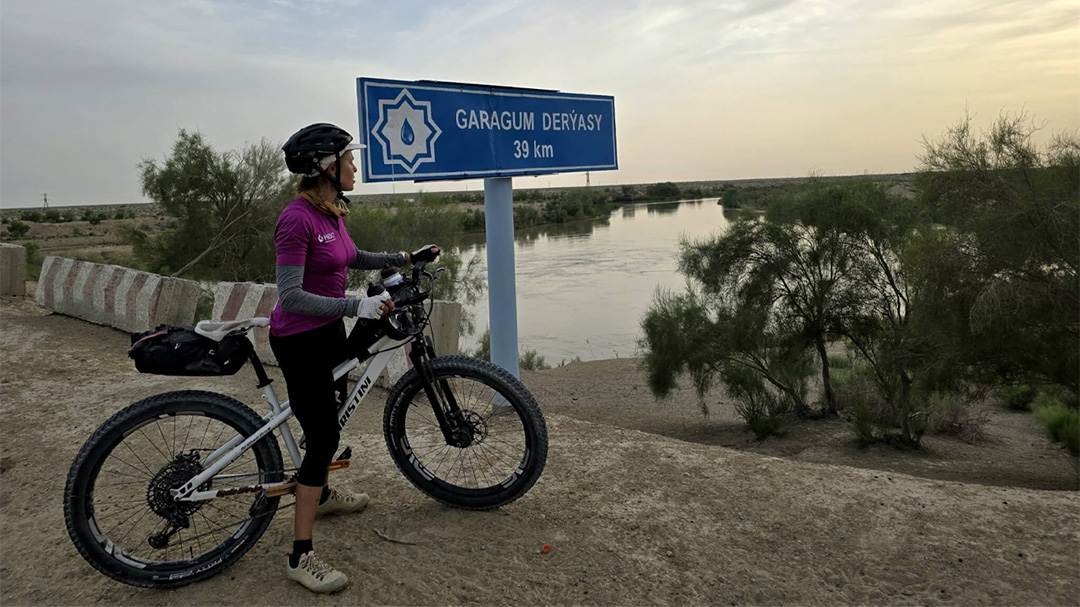
From Turkmenabat, I continued following the Amu Darya for the next two days, heading southeast towards the Afghanistan border. It was back into some ferrel weather; 35C fan-forced by a hot, blustery wind that whipped sand and dust straight off the desert. Staying in the environs of the Amu Darya, the landscape was a patchwork of tree-lined fields of golden summer wheat crops and recently planted cotton. There were workers out braving the conditions weeding rows of cotton by hand. Once out of the city, the asphalt road deteriorated with crumbling edges, no hard shoulder, continuous potholes and attempted repairs. The traffic remained very busy making it particularly unpleasant and hazardous for me. I had to brave impatient drivers as we all slalomed around the obstacles. Despite the conditions, I did have a tail wind and made pretty good time.
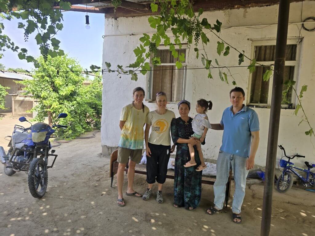
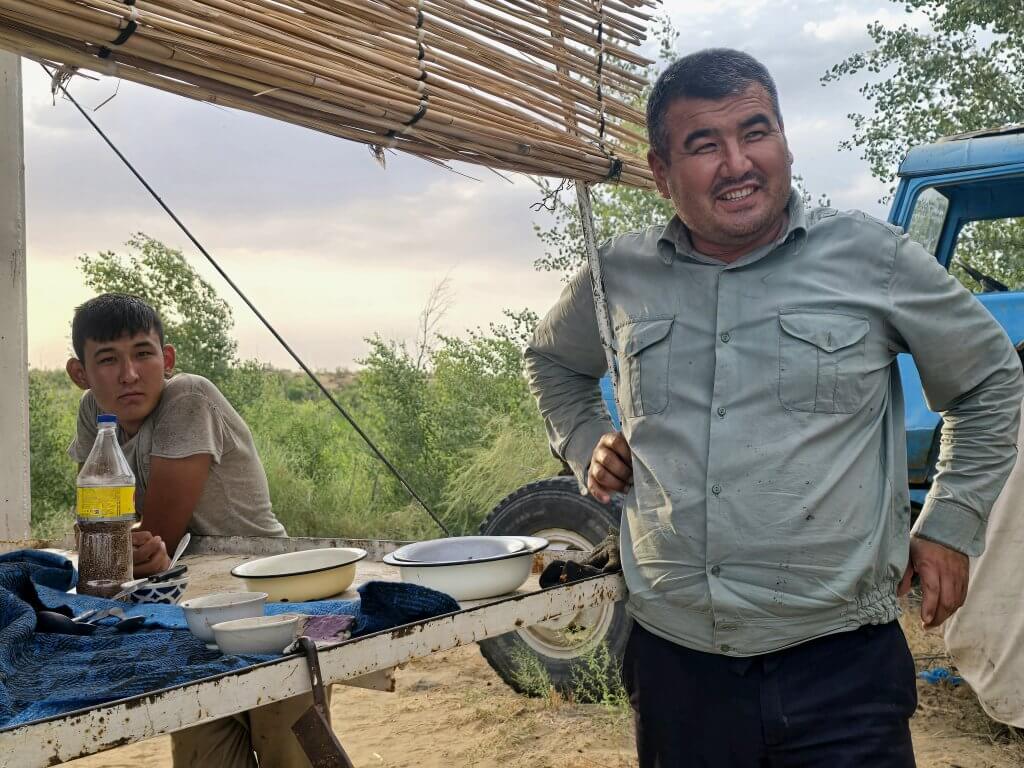
Our driver, Atash, had received an invitation from his neighbour’s friends to stop for lunch in Garabekewu village, 90km from Turkmenabat. Enejam (teacher) and Sordar (doctor) had gone to much effort to prepare lunch, which we ate, as is tradition, on the floor.
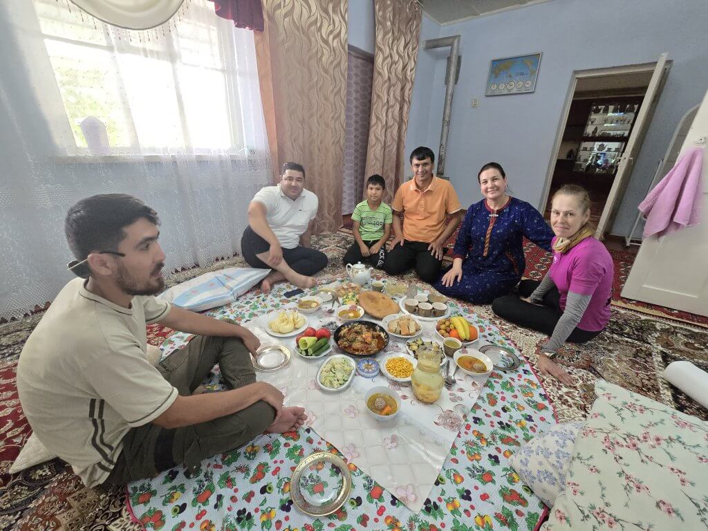
They wanted us to stay overnight but we were on a tight schedule and couldn’t afford taking a short day. I made it to Etbash, the village I needed to reach in good time. Oraz had to declare to the authorities in advance where we planned to stay every night. They needed to be aware of where we were every day. Etbash village didn’t have anywhere appropriate to stay (there was very rough, smelly accommodation for truckers that I wasn’t going to stay in).
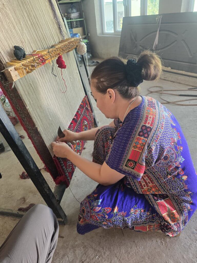
Atash called Enejam and Sordar who connected us to their friends, Begench and Arzuw who lived in a brand new village 13km from Etbash. Fortunately they agreed to host us for the night. Built in 2006, every house in the village was identical – aabout 100 houses of same size, with green roofs, white walls and three front windows. Begench and Arzuw worked as farmers on their 300 hectare property in the summer – Begench was in the process of harvesting his wheat crop. In the winter, when it is too cold to grow anything, Arzuw worked on making traditional carpets.
Day 2 out of Turkmenabat was another of enduring terribly rough, broken asphalt roads and temperatures hot enough to melt my patience at times. One driver however, persistently tried to attract my attention until I stopped, and handed me 20 Manat (about $10 AUD) to make sure I had enough water.
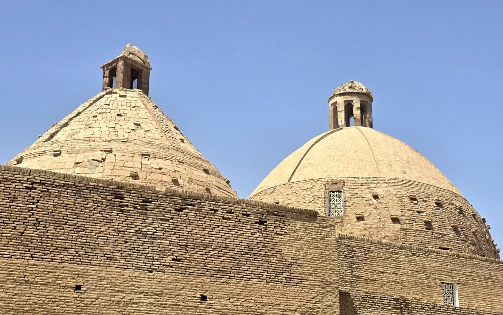
After 80km I reached the larger town of Kerki, set on the banks of the Amu Darya. About 30km from the Afghanistan border, this was as far as we were able go along the great river in Turkmenistan. I diverted off the main road and along a dusty truck route beside the southern riverbank for a few kilometres and then over a two kilometre long bridge.
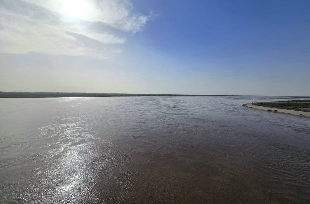
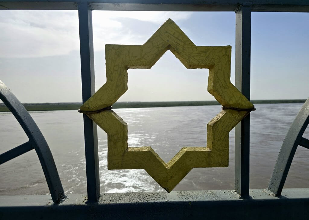
From Kerki I still had a further 50 km to cycle that day, firstly across the agricultural lands and then suddenly into the desert. I was heading for the next phase of the ride, to explore the realms of the Karakum Canal.
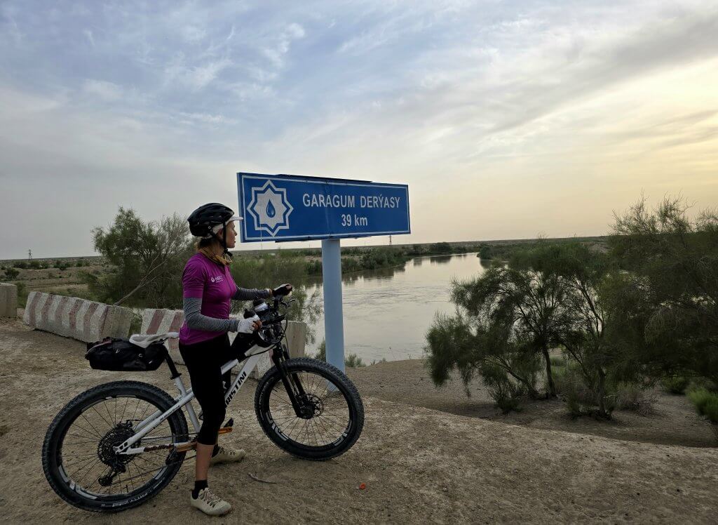
The aim of the day was to reach a village called Fifteenth Anniversary of Independence! I was curious about the name and wanted to be able to say I had stayed in Fifteenth Anniversary of Independence village!
I reached the village just after sunset – its not a place outsiders usually come to and there was no accommodation available. I ended up hailing down a fellow on a motorbike, and Atash and Oraz asked what we should do. Before we knew it, he was offering for us to stay at his place.
Day 63
The Karakum Canal
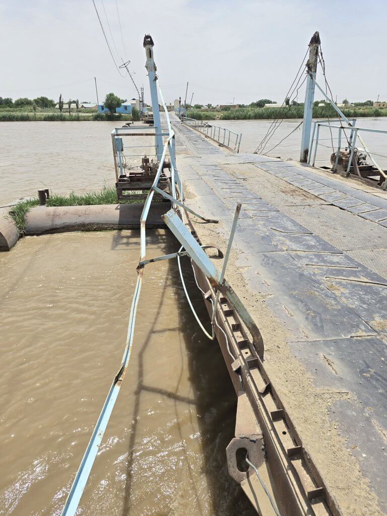
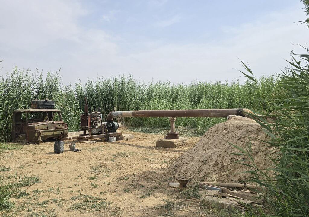
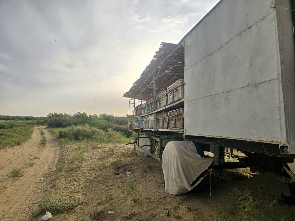
Cycling along the Karakum Canal to the ancient city of Merv was always an extra diversion from my journey. When I planned this section I had more time to complete the Turkmenistan section, but we ended having just 15 days. While I was cycling at my usual pace, there was no way I could complete this section and not overstay our visas. Not cycling it would not break the line of my connected journey. Here’s the remote 330km journey, a 12 hour drive, in images…
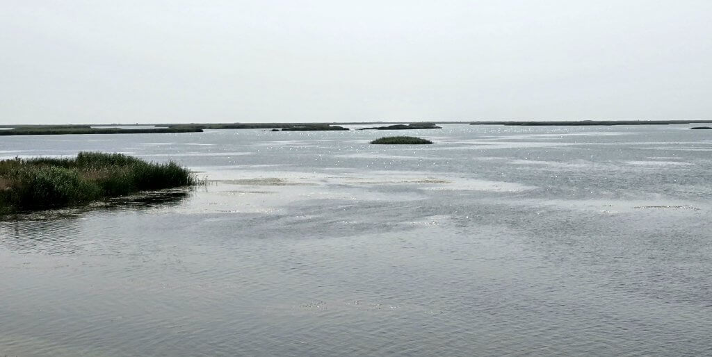
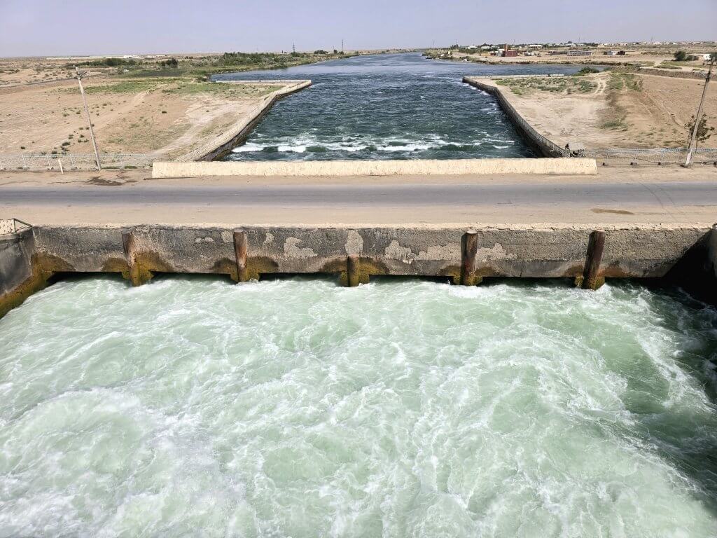
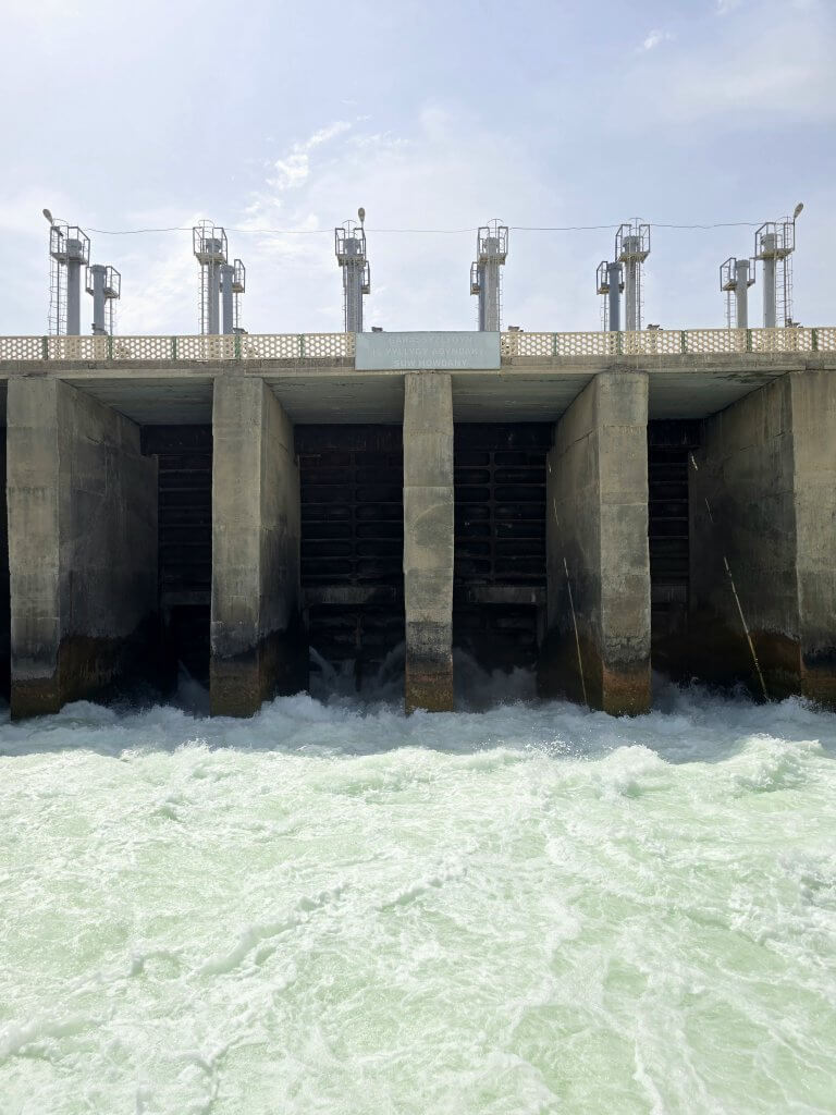
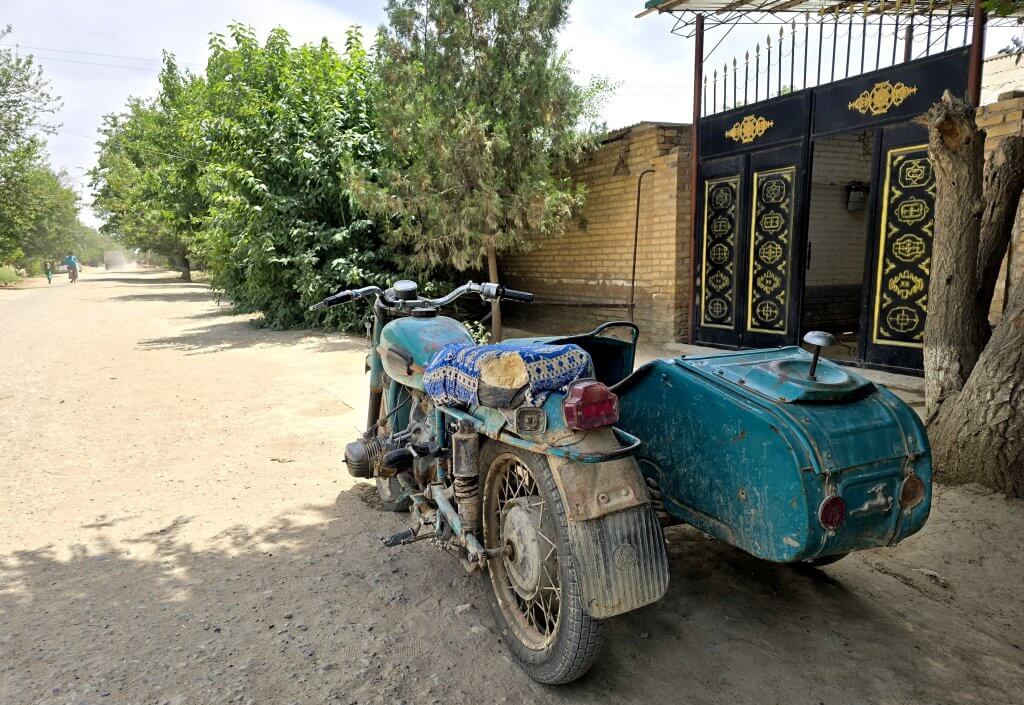
Kazamet-Niyaz village – water from the Karakum Canal brings life and commerce, mostly agriculture, to the desert
Day 64 – Gonur Depe
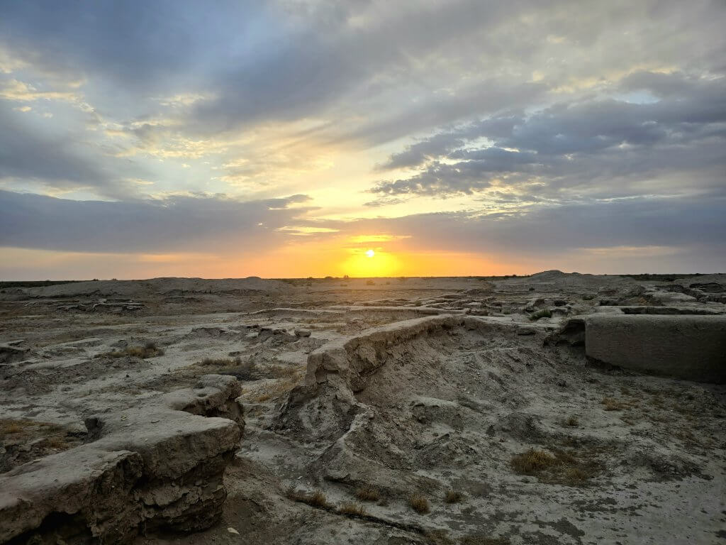
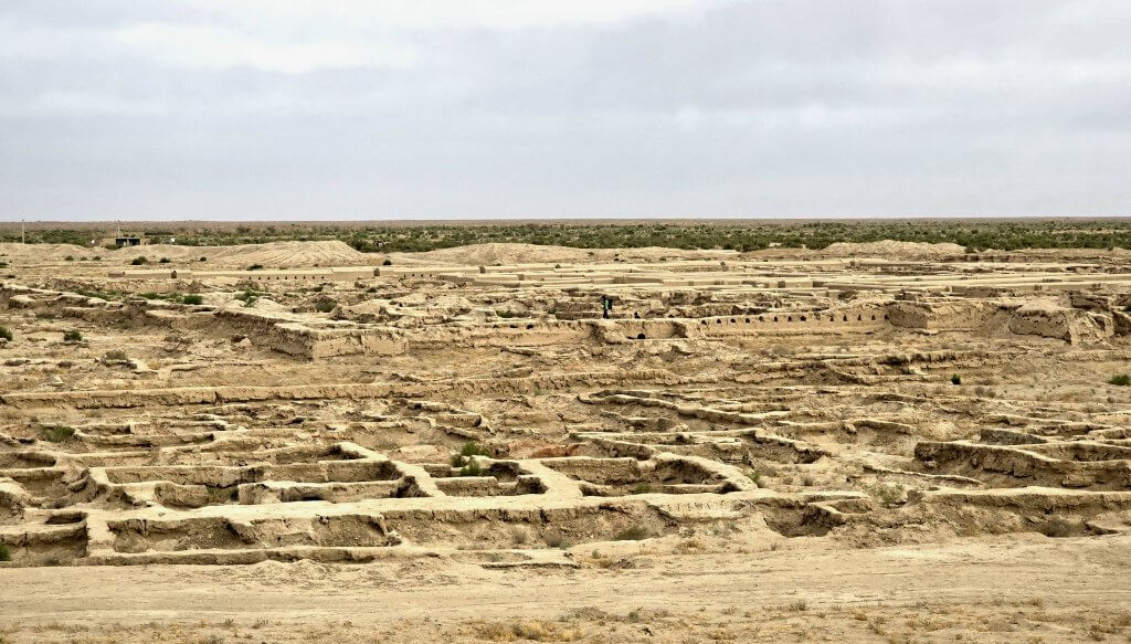
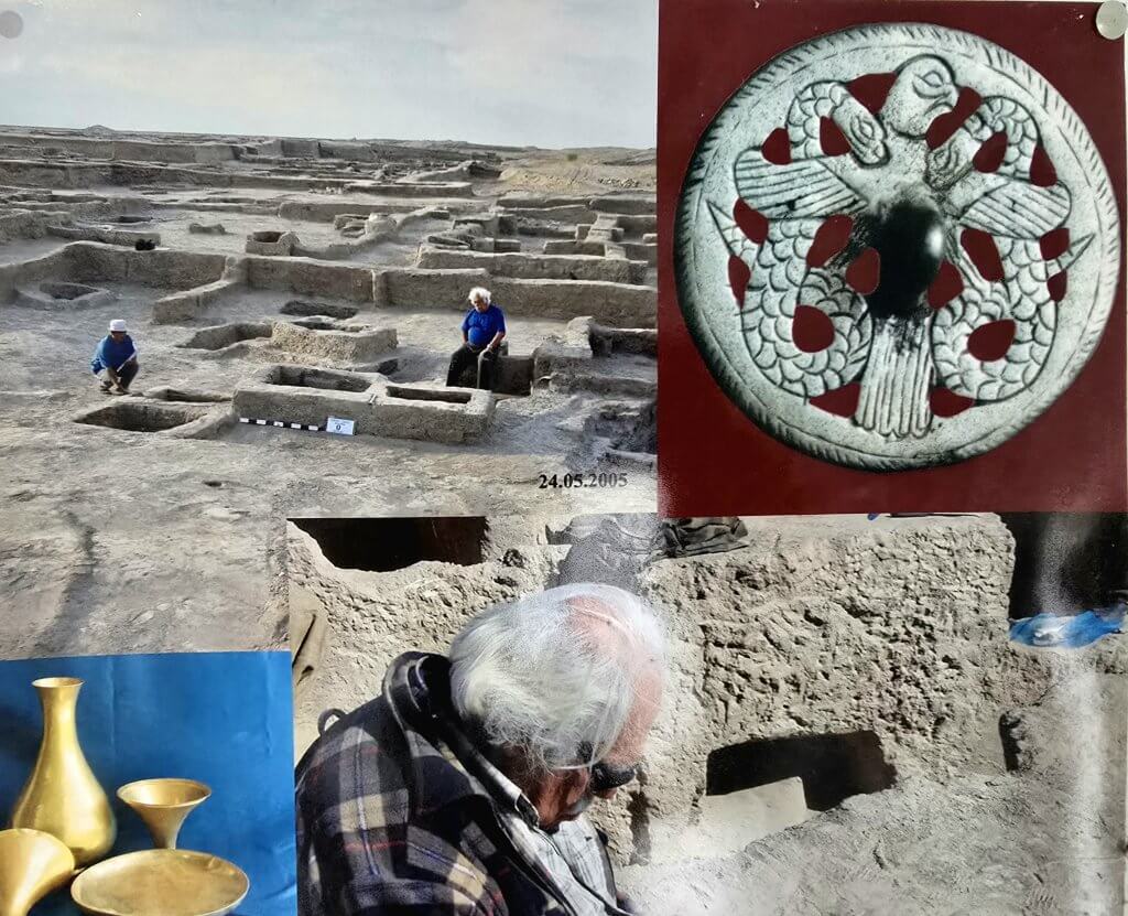
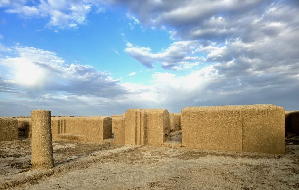
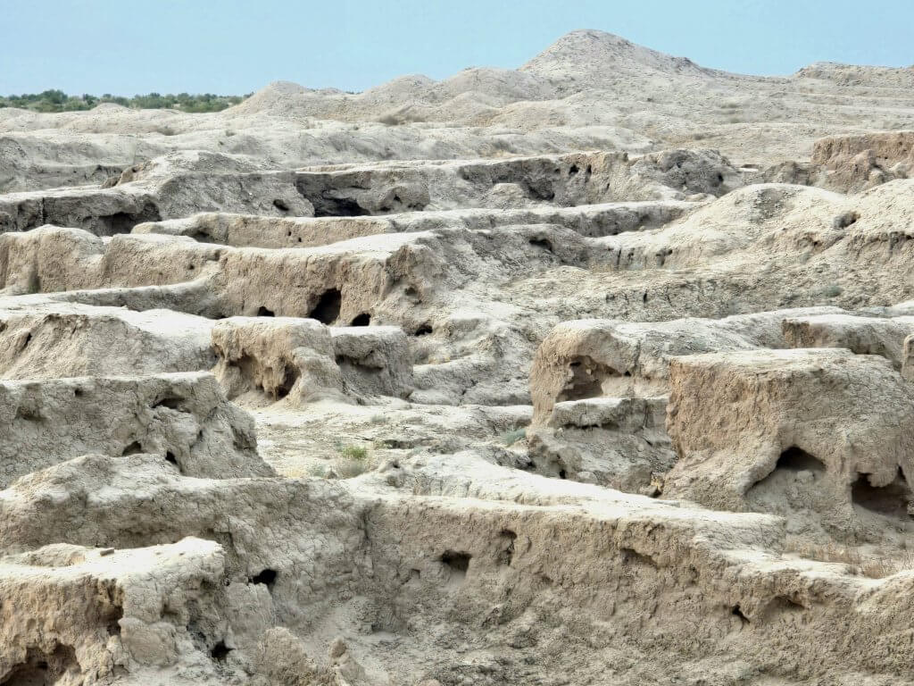
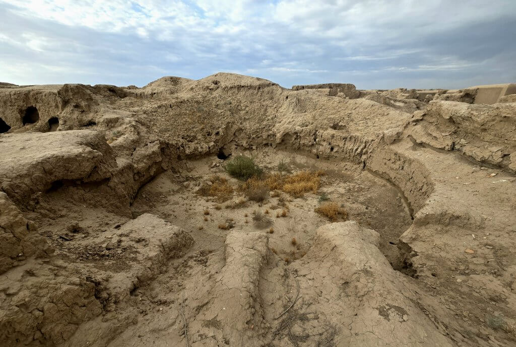
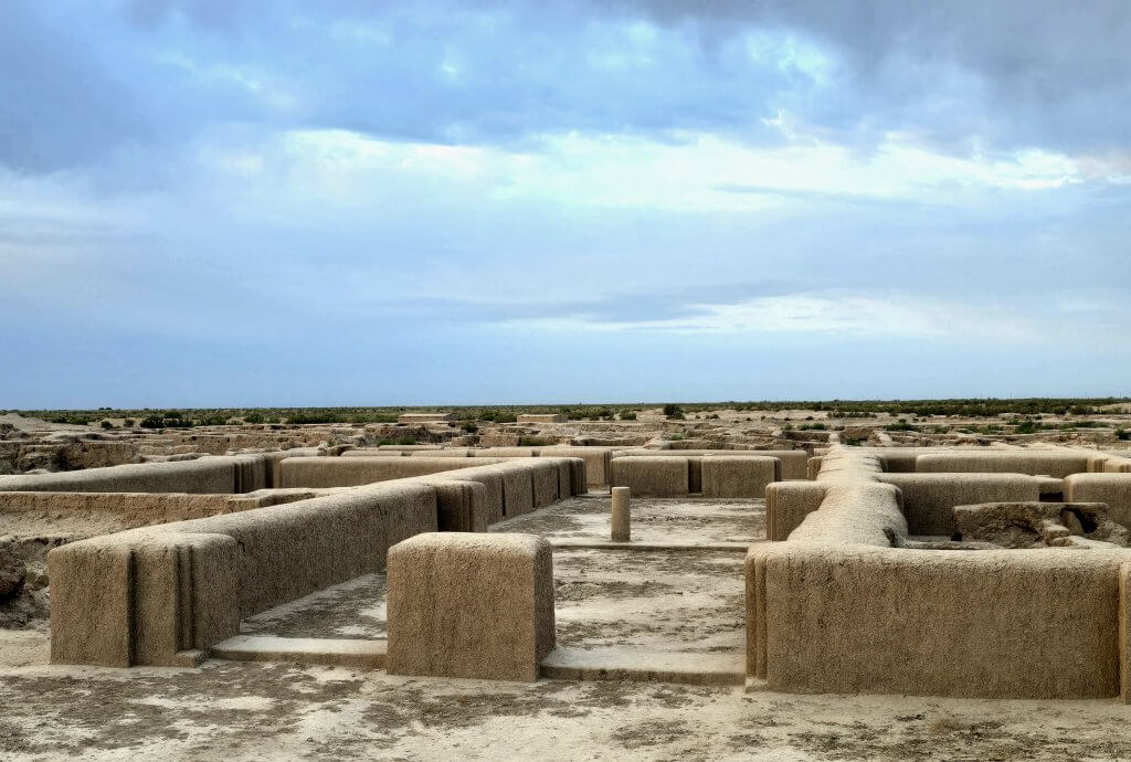
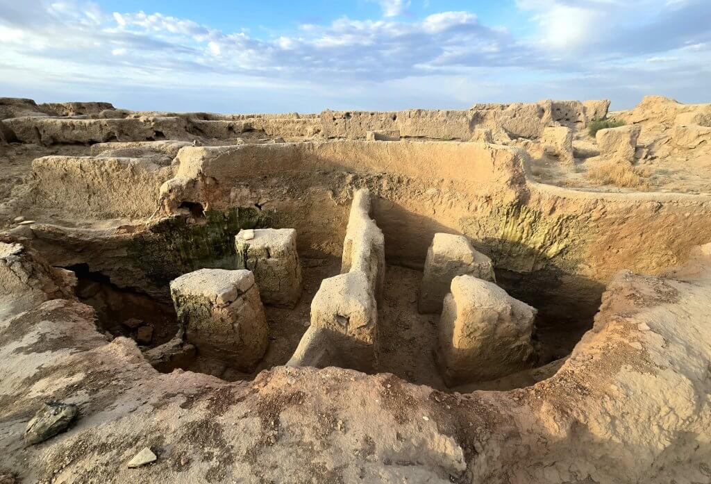
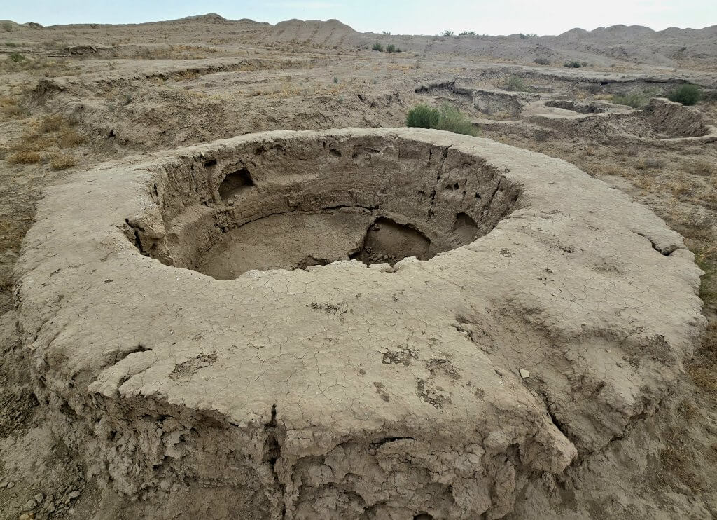
After completing the drive along the Karakum Canal as far as ancient Merv, we drove a further 70km to the ruins of an ancient civilisation called Gonur Depe. Few people venture to Gonur Depe, perhaps due to the extremely rough tracks we drove over.
The Margiana Oasis was centred around the Murghab River delta – the Murghab flows down from the Hindu Kush mountains in Afghanistan before it forms a delta and dissipates into the sands of the Karakum Desert. One of the earliest civilisations on the planet evolved in the region – settlements started to form about 9000 years ago. By 5000 years ago, up to 300 Bronze Age settlements dotted the Margiana Oasis. Gonur Depe, the largest of these settlements, dates back to 3000BCE. At this time, the civilisation, also known as the state of Margush, at one time was believed to be as advanced as those of Mesopotamia, Egypt, China and India.
Gonur was the birthplace of the first monotheistic religion, Zoroastrianism. Adjacent sites have revealed four fire temples, as well as evidence of a cult based around a drug potion prepared from poppy, hemp and ephedra plants. It is believed the city was slowly abandoned during the Bronze Age as the Murghab River changed course, depriving the city of water.
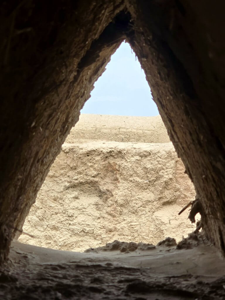
We reached Gonur Depe in the late afternoon and camped near the ruins overnight. I loved simply wandering through the ruins, trying to imagine how it was 4500 years ago and what went on in between the “melting” walls.
FOLLOW THE JOURNEY
Thanks to ZeroeSixZero, you can open this link on your phone and select “add to home screen” and the map will become and app. You can then keep updated in real time.
TAKE ACTION
Support my Water.org fundraiser to help bring safe drinking water and sanitation to the world: Just $5 (USD) provides someone with safe drinking water or access to sanitation, and every $5 donated to my fundraiser will enter the donor into the Breaking the Cycle Prize Draw.
EDUCATION
An education programme in partnership with Exploring by the Seat of Your Pants, with contributions from The Royal Geographical Society and The Duke of Edinburgh’s International Award Australia. We have created a Story Map resource to anchor the programme where presentations and updates will be added as we go.


