1st and 2nd March | Total distance 199 km
DAY 2: MACHU PICCHU
Seeing Machu Picchu had been on my bucket list for many years. Recognised as is one of the seven New Wonders of the World, it attracts hoards of tourists all year round. These days, tourists are strictly controlled and entry times are managed so that no more than 400 people can walk throught the archeological site at once.
To get there involved waking at 4am in order to catch the train at 5am. The 34 km train journey takes one and a half hours. The track, that follows a spectacular gorge beside the cascading Urubamba River. The train dropped us off at Agua Calientes and from there it was a half-hour bus ride zigzagging up the mountain to the entrance of Machu Picchu.
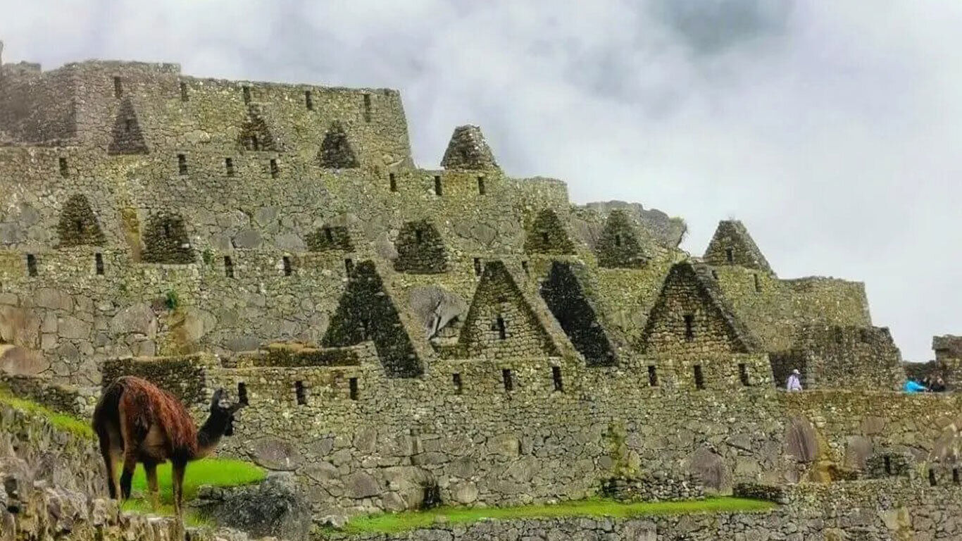
Machu Picchu, at 2350 metres elevation, is surrounded by dense rainforest. As expected at this time of year, there was steady early morning rain and Machu Picchu was enshrouded in the clouds. For the first couple of hours the mountains were hidden amongst the clouds and we waited patiently in the hope that we could get a clear view of Huayna Picchu, the larger mountain adjacent to Machu Picchu.
Despite the conditions, I was able to relax, even though I was extremely tired. The place has amazing power and I loved walking through the ruins, even though the my knee struggled. Javier had been to Machu Picchu about 25 times previously working of various film shoots, so he was a great source of information.
Machu Picchu was believed to be built for Pachacuti Inca Yupanqui, who reigned from 1438 – 1471. Located so deep in the forest, the Spanish invaders never made mention of the site, which was a royal retreat. It was only discovered to the outside world in 1911.
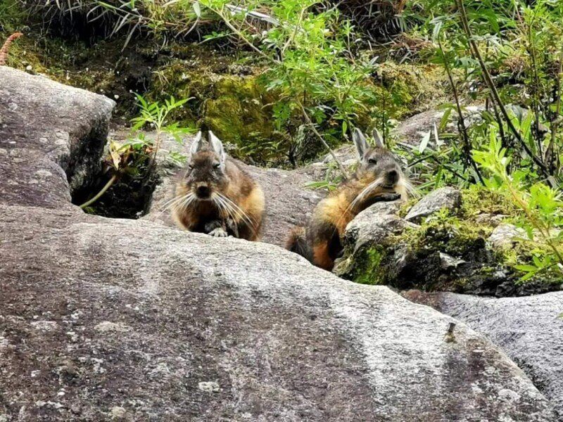
Here are a few images that I did manage to take amongst the mist:
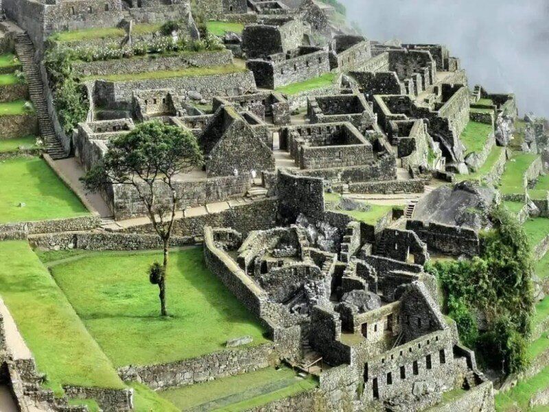
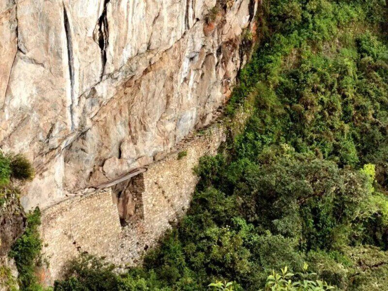

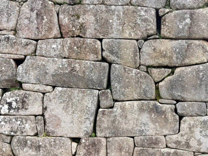
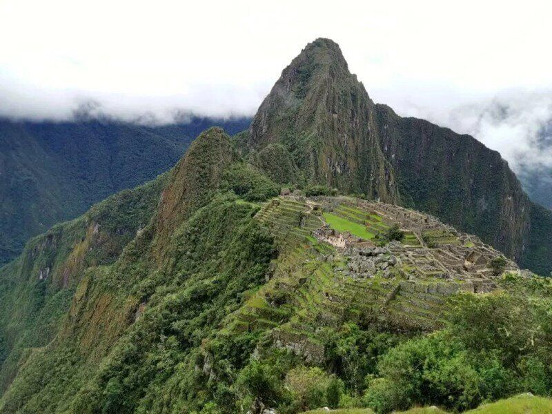
By the time we returned to Ollantaytambo it was 3.30 in the afternoon. I had planned to cycle to Pisac, 60km alway, but decided it would take too long and I was better off resting. We drove to Pisac where I had pre-booked accommodation and returned the next day to Urubamba, where I had first entered the Sacred Valley to rejoin the line of my journey.
DAY 3: URUBAMBA TO QUIQUIJANA VILLAGE | 111 KM
The Sacred Valley was so named by the Incas because of its fertility and milder climate. The land can support the growing of three crops every year. All the way from Ollantaytambo to where I left it almost 100km to the south, the mountain slopes all the way down to the Urubamba River were terraced with plots growing all sorts of produce – potatoes, sweet potatoes, maize, tomatoes and much more. The route has many Inca ruins along it mostly for protection and agriculture.

I enjoyed pedalling along the valley and a warm, sunny day. After 71km I left the valley, climbing out of one river system and into other. Just before Urcos my quiet road joined the main highway from Cusco that eventually leads to Puno, a large city near Lake Titicaca in the south. The heavy traffic and some long climbs was a real test only second day of cycling.
A thunderstorm brewed late in the afternoon and we just made the small village called Quiquijana before the rain set in. The only accommodation in town was rudimentary, as was the food in the only restaurant that was open for business, but it didn’t matter. It had been a long day and we had a roof over our heads and safe place to park the vehicle.
Related posts:
Part 1: Welcome – The Andes, the Altiplano & the Atacama expedition
Part 2: Cusco to Ollantaytambo
Part 3: Machu Picchu and the Sacred Valley
Part 4: Into the Peruvian Southern Highlands
Part 5: To Lake Titicaca and the Border

Part 6: Into Bolivia – unsupported

