EPISODE 13 | 19th – 21st April | LONDRES TO SAN FRANSISCO PASS / THE ARGENTINE-CHILE BORDER | DISTANCE 327 KM | TOTAL DISTANCE 3248 KM
TOTAL DISTANCE FOR 2020/2022 EXPEDITIONS 4354 KM
This journey began in 2020 (before the onset of the pandemic) from Cusco in Peru, the capital of the ancient Incan Empire. Given the theme of the expedition is to explore what the mountains mean to the Andean people, past and present, I thought it essential to visit El Shincal de Quimivil, sometimes referred to as the “New Cusco” because of its importance as the political, administrative and trade centre for the Incan empire in the south, as the final archeological site on my journey.
El Shincal de Quimivil lies at the base of the Zapata range, about seven kilometres west of one of my favourite towns of the whole journey, Londres, which in turn, is just 15km west of Belen on Route 40. The site is named after the unremarkable spiky shinqui plant, the most predominant shrub in the region.
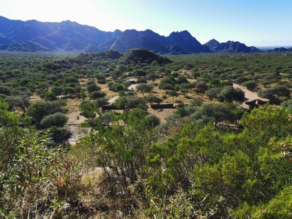
Like with other Inca establishments, the Incas were not the original inhabitants. The first inhabitants were the Diaguita people who were conquered by the Incas and their civilisation was annexed into the fast-expanding Inca empire. The provincial capital was only in existence between 1471 and 1536, when the Spanish overwhelmed the Incas.
The people lived mainly from agriculture. Produce was gathered and stored, the grains in the large granary, and was divided into three parts. One part was for the people of El Shincal, a second part was reserved for celebrations, and the third part was delivered though the Inca Trail as a tax.
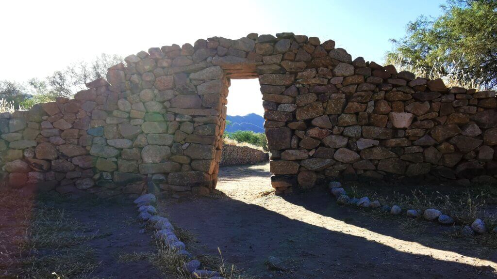
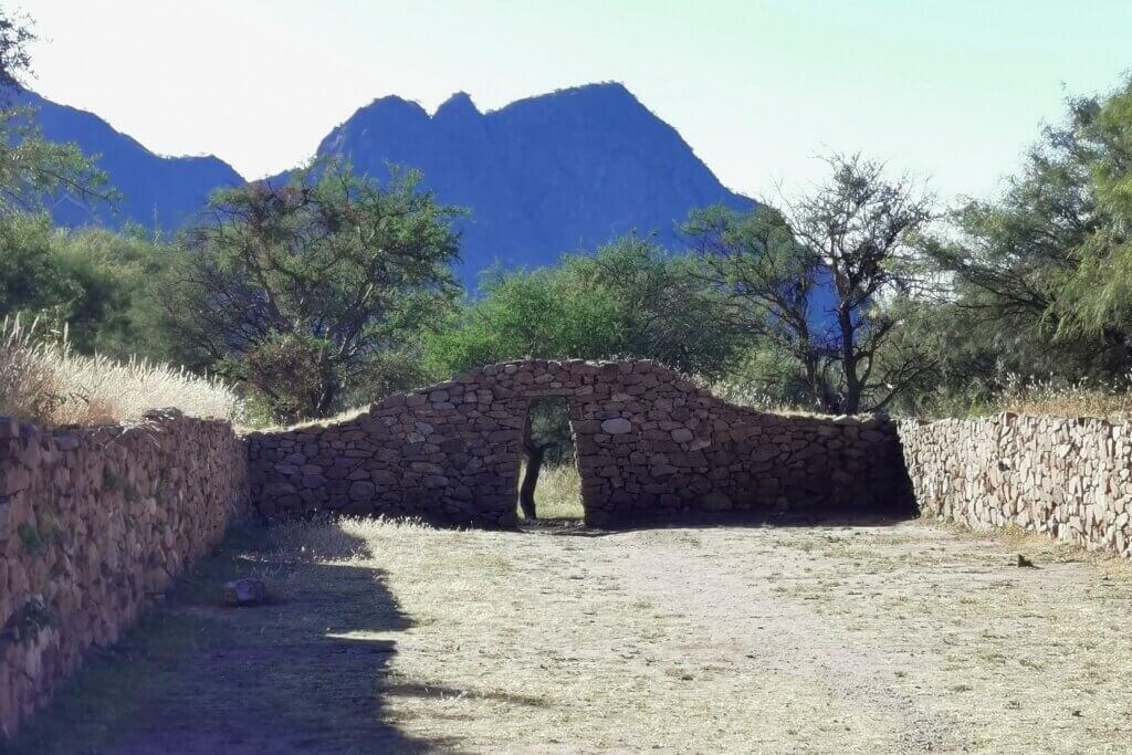
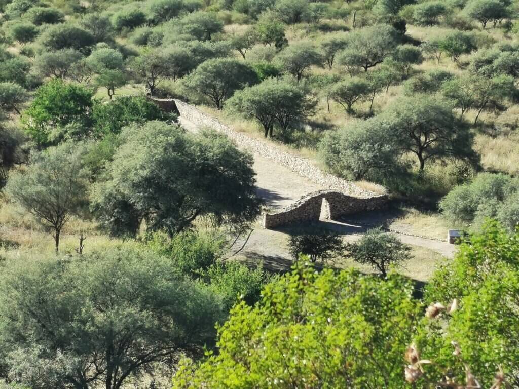
Several residential complexes known as kancha, arranged around the aukaipata and on the side of the Inca road, also stood out.
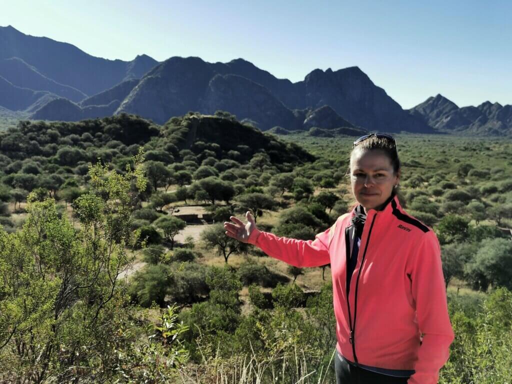
The El Shincal visit was just the start of what turned out to be a huge day. Knowing that the final 200km/ two days of the expedition would be uphill and finishing at over 4000m, I needed to get some good distance in.
From El Shincal (1350m elevation), I had to cycle around the Zapata Mountains, dropping to 900m and then a steady climb to reach Tinogasta and Fiambala at 1500m.
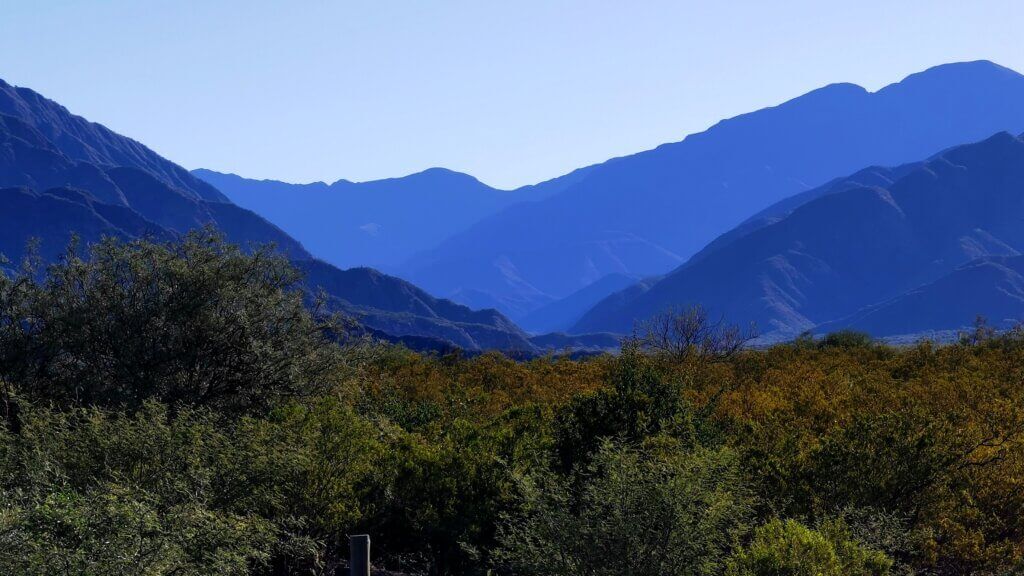
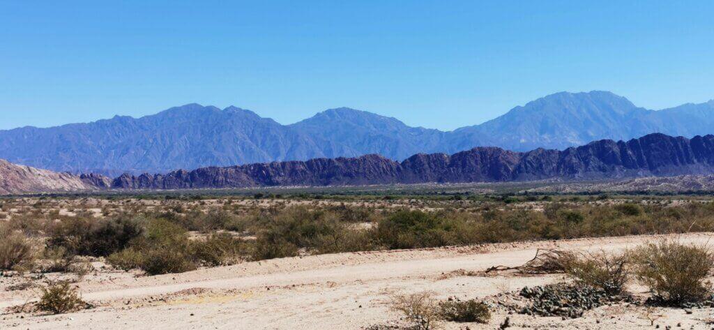
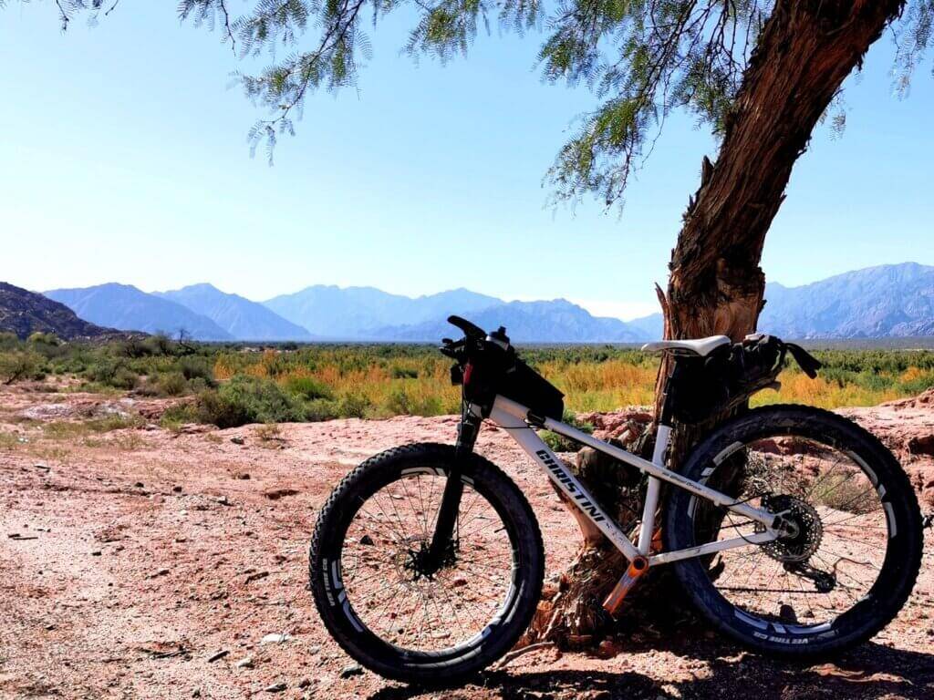
The gap through the Zapata range where the old Inca route and Route 40 used to go. The road stopped being maintained in 1979 and it is now forbidden for cars to go through there due to the dangers – several drivers have been killed. It is still possible for cyclists to venture over the mountain pass but as we are a team making a TV series and film, we must stay together. Rather than taking the 60km short cut to Tinogasta, the new route is 130km, therefore adding 70km to my journey!
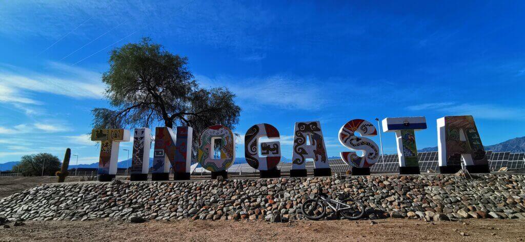
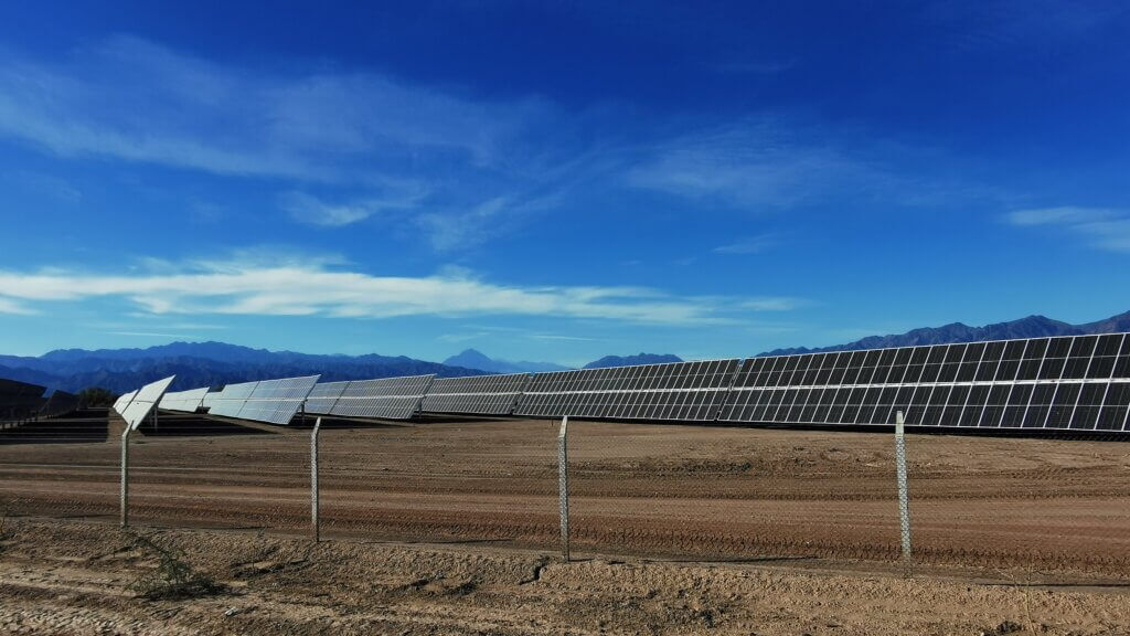
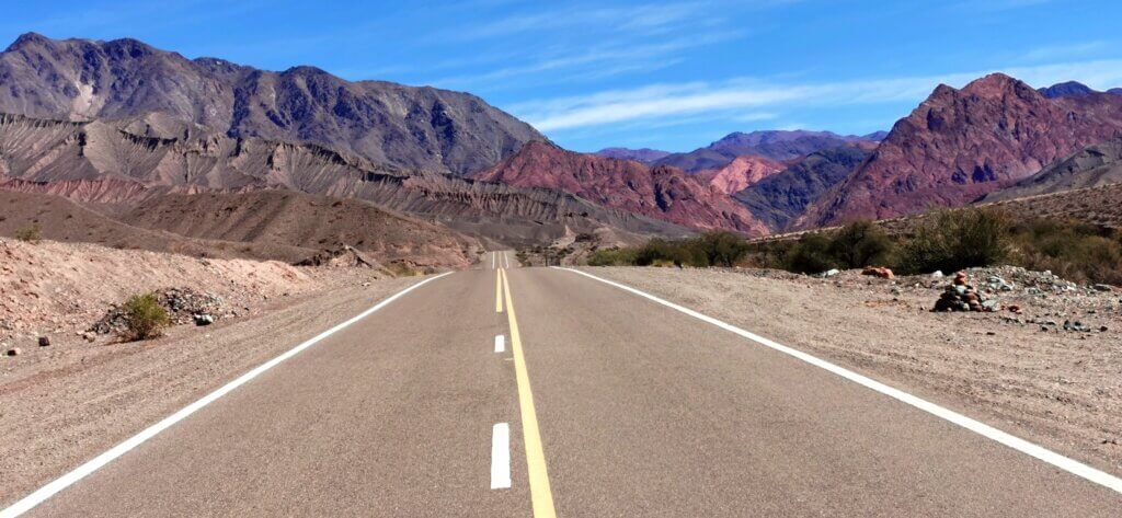
The road wound through some spectacular and colourful ranges, ascending slowly to Tinogasta. Nearer the town I started meeting groups of cyclists on road bikes enjoying the pristine asphalt surfaces. Changing directions as I rounded the ranges, I was treated to one of the best tail winds of the whole journey.
Reaching Fiambala, almost 150km from the start of my day’s ride, had initially seemed a little ambitious, but with the wind at my back and only gentle gradients to climb, I stuck at it and arrived in Fiambala in the dark, after 8pm. I was very pleased as it made arriving at the finish on time more realistic.
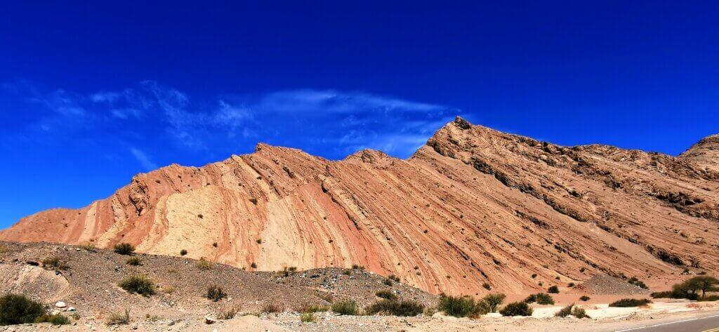
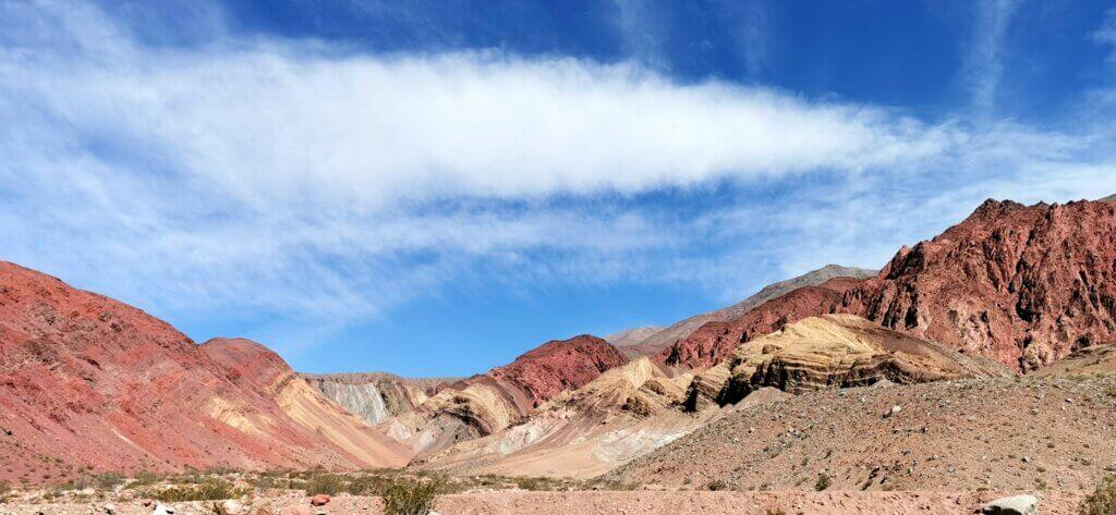
The penultimate day of the expedition turned out to be a real brute. The road was good quality and I was expecting a continuous, steady climb, but it was the wind that almost brought me undone. The ascent started immediately out of Fiambala and I tried to pace myself. The landscapes were completely barren and the geology was out of this world, almost literally!
I would have struggled to make it to Cortederas, the only option for accommodation at all, if I didn’t have the vehicle help shield me from the winds.
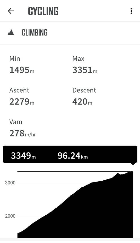
Starting out on the final day, I was quietly excited. However, I tried not to get too ahead of myself because I was wary of what the wind was likely to do. I knew I wouldn’t get it easy!
From Cortederas, I continued up a broad valley. The route was more undulating than the previous day, meaning, in the end, I would have more metres to climb. The wind was indeed a big problem, confronting me head on for the first twenty kilometres. Once I changed direction, I had to deal with the same ferocious winds as side winds, occasional switching to a head wind, for the rest of the day.
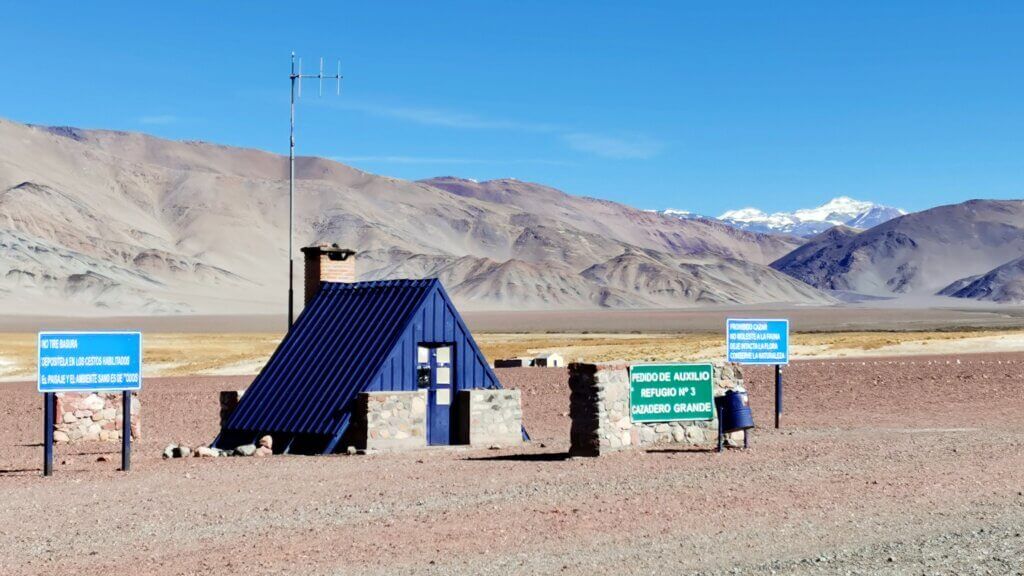
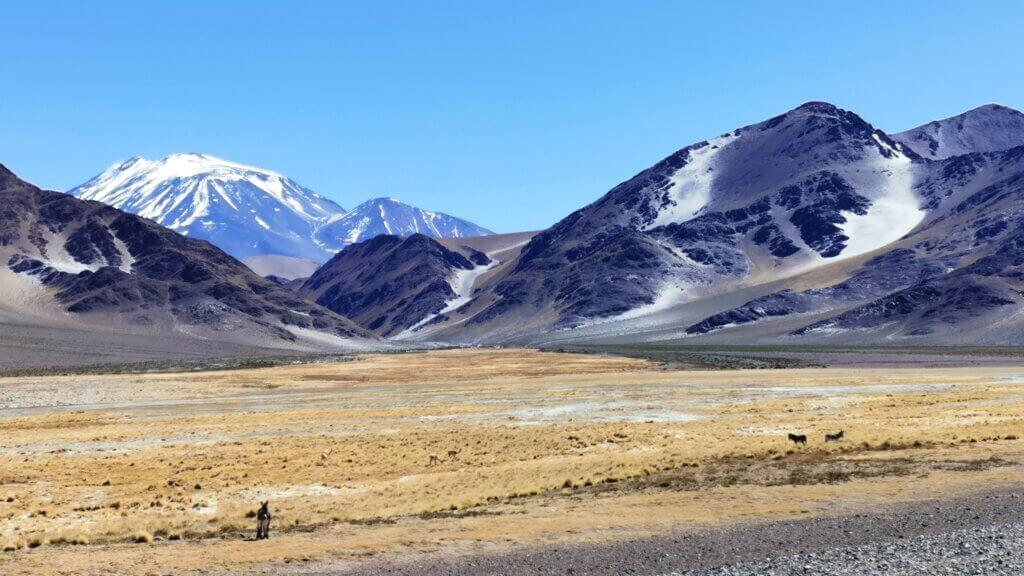
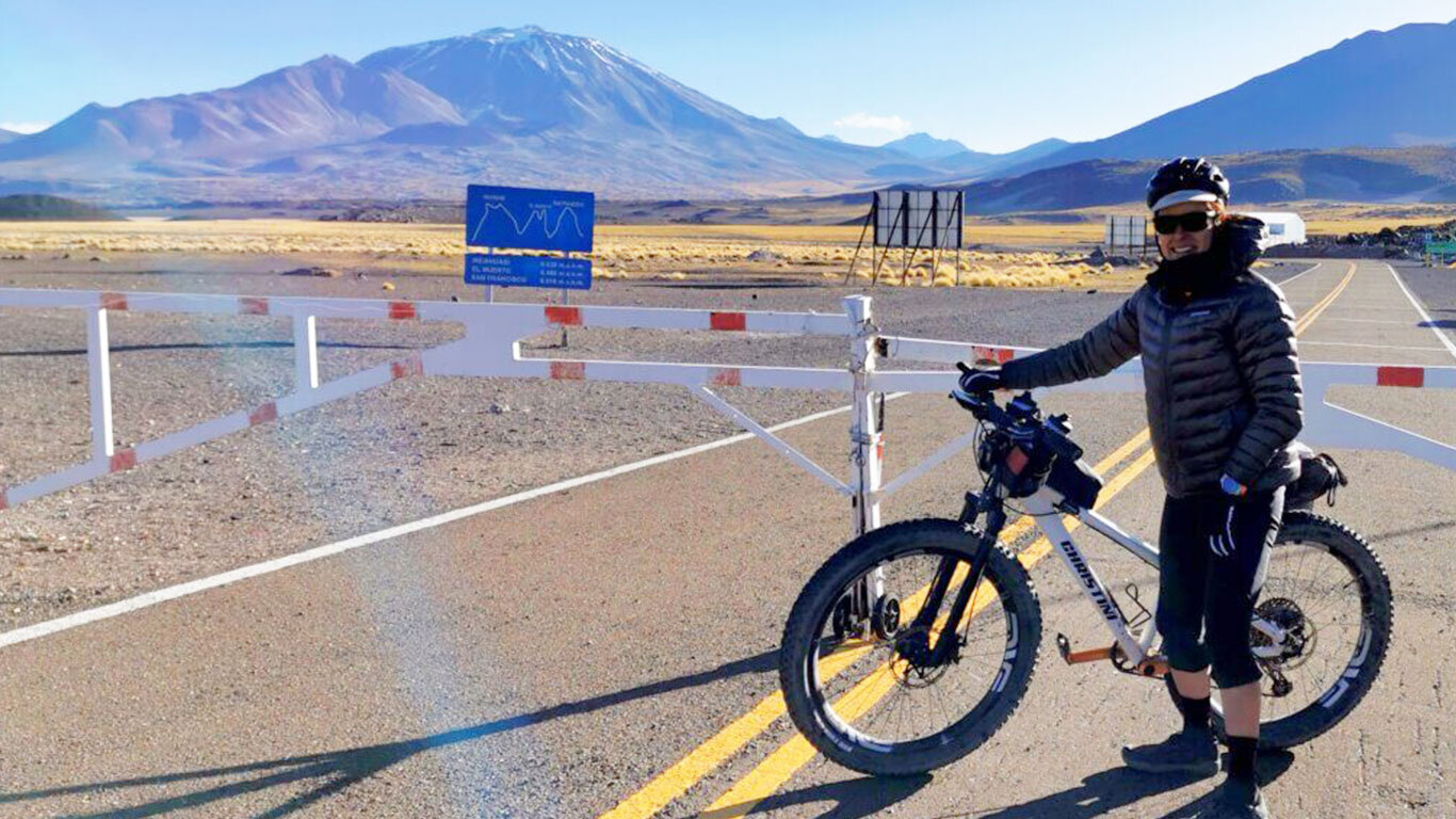
We knew the border was closed, so my plan was to cycle as far as the barrier. I imagined this would be atop San Francisco Pass (4700m), the actual border line. The wind was truly arctic and basically stopping me in my tracks and, as the daylight dwindled, I wondered how I was going to make the final 600m climb.
To my surprise, when we arrived at the Argentinian immigration post, the gate was closed and my expedition came to a sudden end. I was very pleased, not only to have finished the cycle expedition successfully and on time, I had been dreading the climb to San Francisco pass and now I didn’t need to do it.
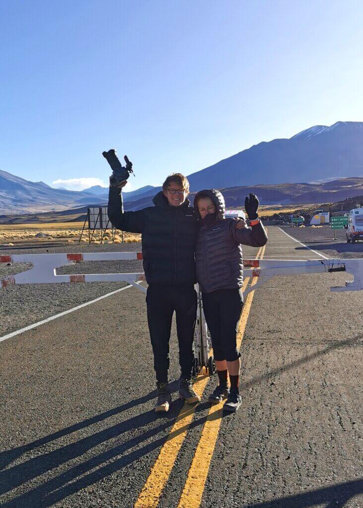
This is the end of the cycle expedition, though there is more to come. From San Francisco Pass we had to drive 900km south to Mendoza, then fly to Santiago – the only way we could enter Chile.
I have one more blog to write about what happened in Chile!

