Dates – 20th-21st June | Total distance – 859km
BIRDSVILLE
In Birdsville I arranged to meet Don Rowlands OAM, Wangkangurru elder and Munga-Thirri (Simpson Desert, Queensland) Park Ranger, to learn about his lifelong commitment to re-connect and preserve the culture of his people. I learned so much over the two days, and I am still processing the information, so it will be difficult to get it all down in this blog. I hope the part will give an impression of the whole here.
Firstly, Gelareh (filmmaker) and I met Don at his QLD Parks and Wildlife Office where he gave us the background; his life story and what he does…Born in 1948, Don struck me as a man of great dignity and resilience as he spoke about his family struggles as a young boy. He reiterated that his people chose to leave their traditional nomadic life in the desert, walking off the land in 1900 because it was easier to get food and water from the town. But the community was segregated, forced to live on the fringe of Birdsville and treated as second-class citizens. His sister was taken as one of the Stolen Generation and his family protected him, moving him across the South Australian border on occasions to avoid the Queensland police.
Don became a Munga-Thirri Park Ranger in 1994, which was a great way to more formerly help protect and care for the land that will always be integral to his culture and language.
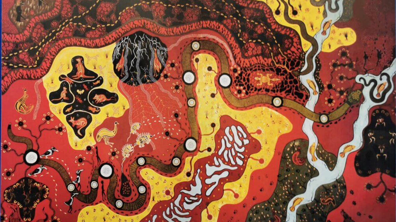
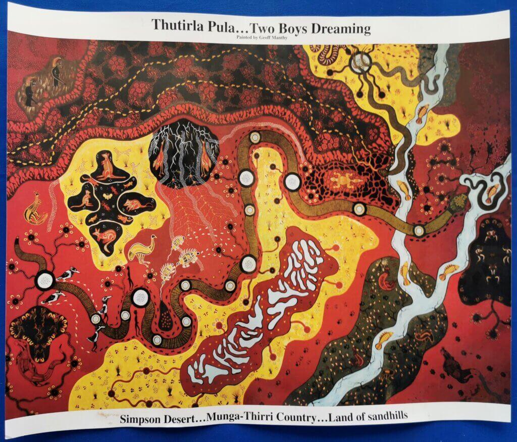
Don chatted with me beside a huge mural depicting the Two Boys Dreaming Songline. An artist painted what is effectively a pictorial map as Don recounted the story. The Songline is one of the most important Central Australian stories. It is about a journey by two boys from Dalhousie Springs (west side of the Simpson) across the desert to Birdsville and then further up the Diamantina River and back to Eyre Creek. In 2019, Don took his family on an expedition to connect with the country as depicted in the Two Boys Dreaming Songline and the mural.
BACKGROUND
To put Don’s story, his work and the story of his people in context, I think it is necessary to give some more background about the Wangkangurru culture.
The Wangkangurru people have successfully occupied the Simpson Desert for tens of thousands of years. Munga-Thirri Country (Land of Big Sand Hills) stretched from Dalhousie Springs to Birdsville. Living in the desert was made possible by excavating wells (Mikiri) which provided reliable water and were the typical focal points for habitation. Some of these wells were 4-6 metres deep and could support a family group of up to 40 people. More than 18 wells have been recorded so far.
In order to live sustainably, in good years when water could be found elsewhere, people would leave these sites and range widely across the desert. This time away – which could be months or even years – gave the sites time to recover from the impact of long-term occupation.
Periodically, many people would gather at major meeting sites to trade, conduct initiations, arrange marriages, negotiate laws and clan boundaries, and perform ceremonial dances and songs.
Wangkangurru people had their own maps in the form of significant Dreamtime stories of the shaping of this land. These stories provided them with a story picture of the geography of the desert and literally helped them move around. The stories helped them connect with landforms and desert types and the precious wells. The stories also helped them to live sustainably in the fragile desert environment.
These stories were not only important for navigation on the ground, but also for navigating life. They provided wisdom and a sense of place within which Wangkangurru people lived for centuries. They provided a map of values and important principles for living.
The Wangkangurru lived in the desert on a permanent basis from ancient times until 1900. Over the last 100 years their culture and traditions have been kept alive through the dedication of several generations, a testament to the enduring spirit and unique culture. Knowledge of myth and song is a most treasured possession, interpreting and bringing to life the desert landscape and generating a profound sense of kinship with the land. Many of the stories cross language groups providing links with other people. Trade routes follow the same trails.
(taken from information in Don’s family museum)
—
We reconvened at Don’s family’s cafe where he introduced us to his family. Daughter Peta is developing her proud father’s passion for rekindling her culture. She gave a presentation about traditional artefacts in the small family museum behind the cafe. Some relics were found on country, others had been returned over the years.
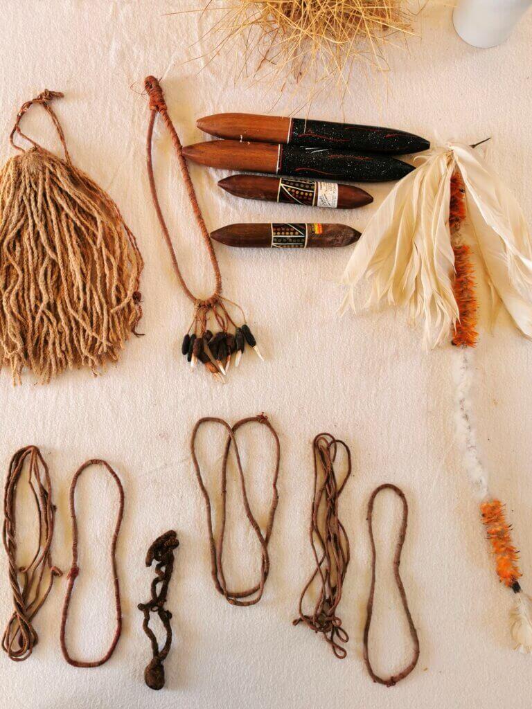
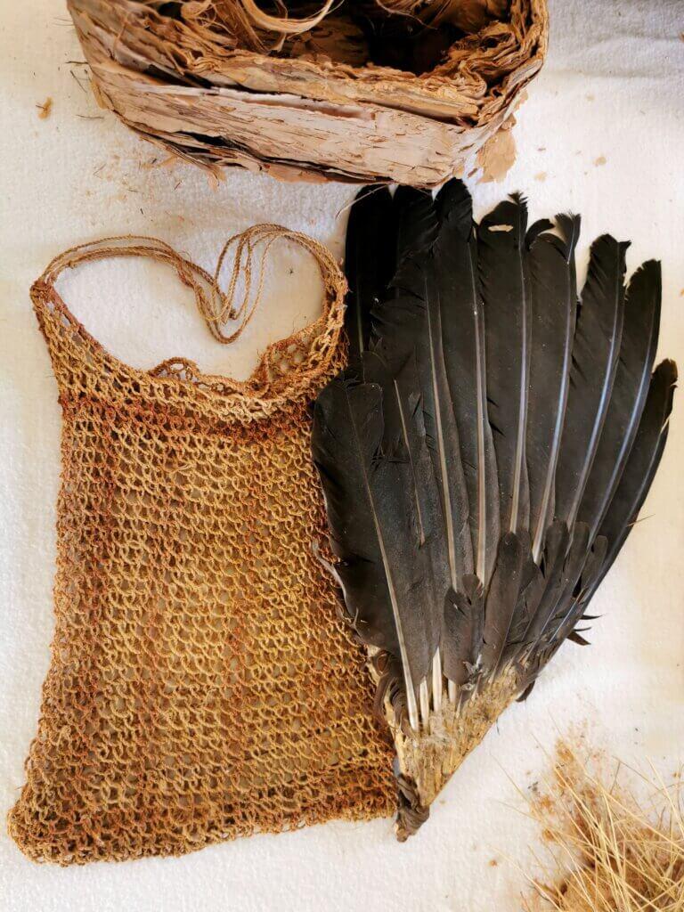
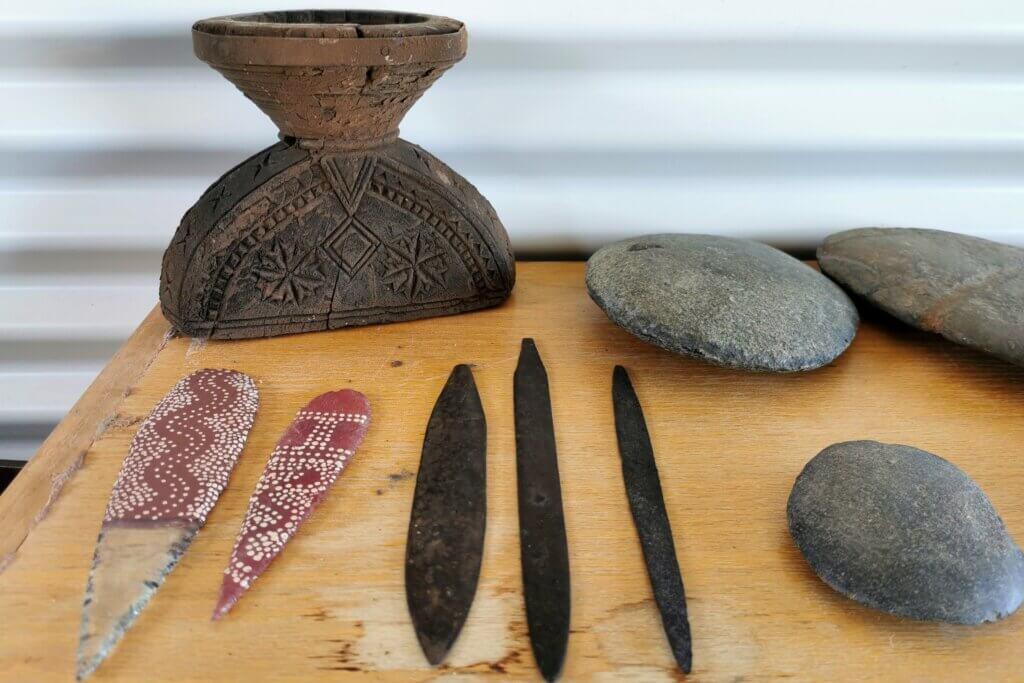
Later that day, Peta took us about 12km north of Birdsville to see a rare stand of Waddi trees. Known as the protectors of the desert, these incredibly slow growing trees are only found there and at Old Andado Station (Mac Clark Nature Reserve) on the western side of the desert.
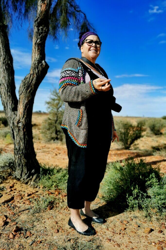
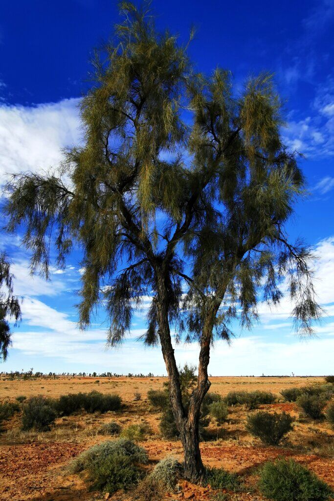
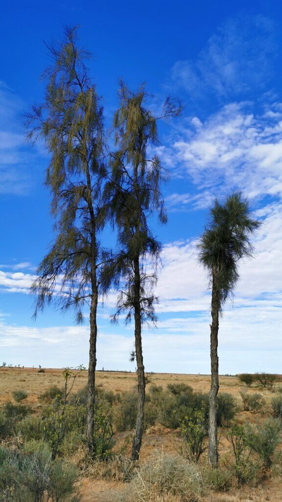
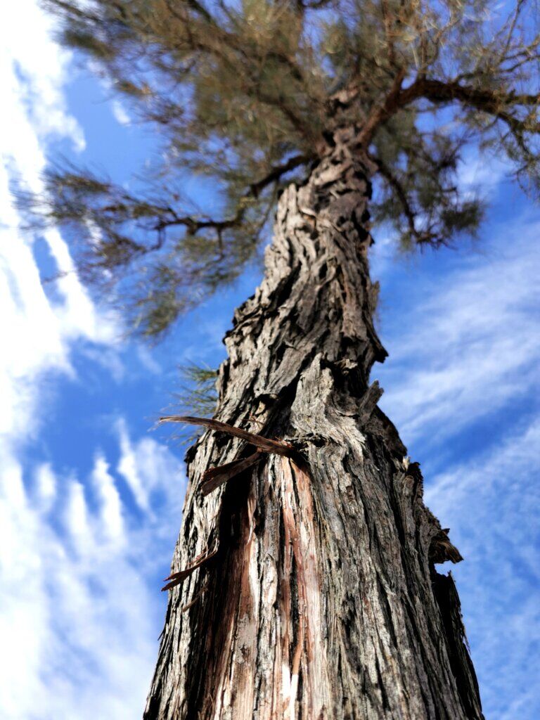
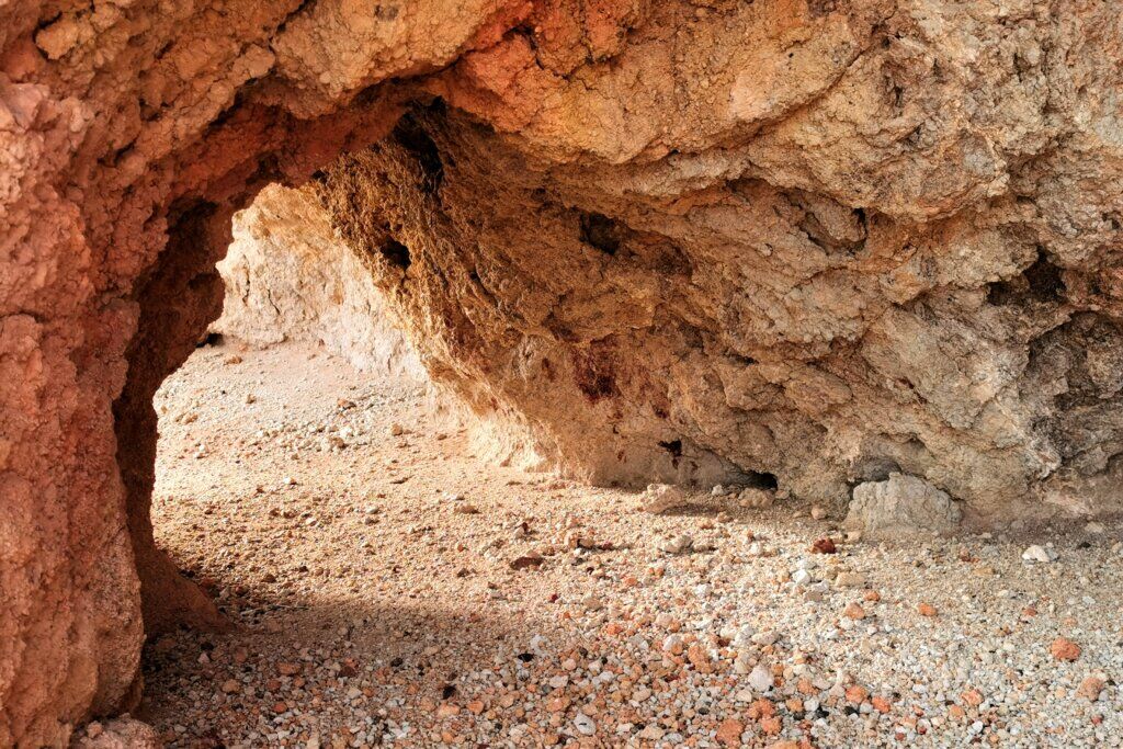
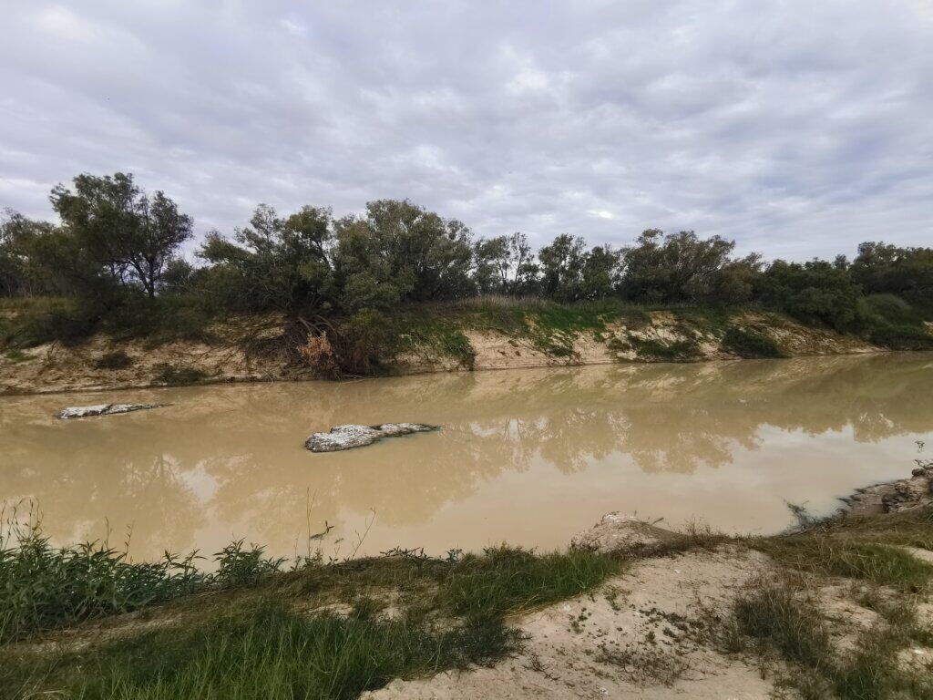
The final highlight of the day was Don and Peta taking us to a spot on the Diamantina River where the Two Boys are said to rest. It is a place of tranquility and reflection.

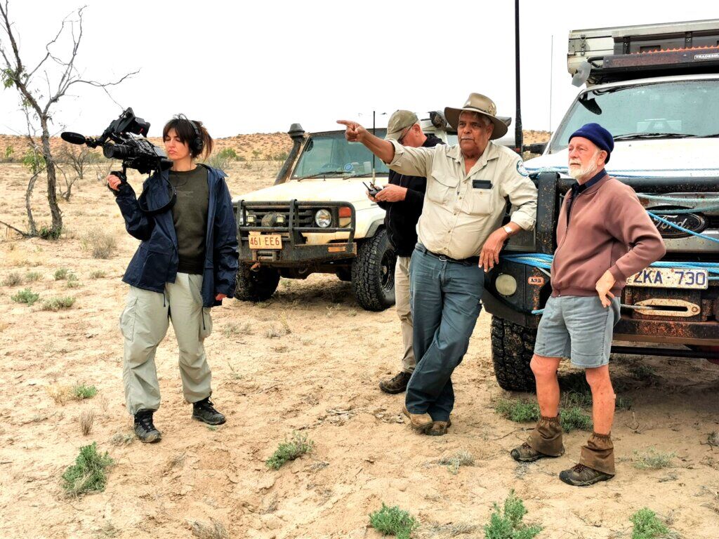
My original plan was to cycle from Birdsville across the Simpson Desert via the Madigan Line. However, I could not have foreseen that Eyre Creek, which flows the entire length of the eastern side of the desert, would still be flooded. Fed from its catchment area farther north in Queensland, the creek floods about every five years, but the last time it was still impassable this late in the season was 1974! We joined Don, the police and a small contingent and drove almost 100km out to the creek to the location that is always the first possible crossing point after a flood.
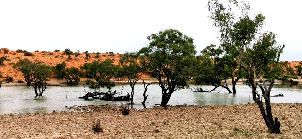
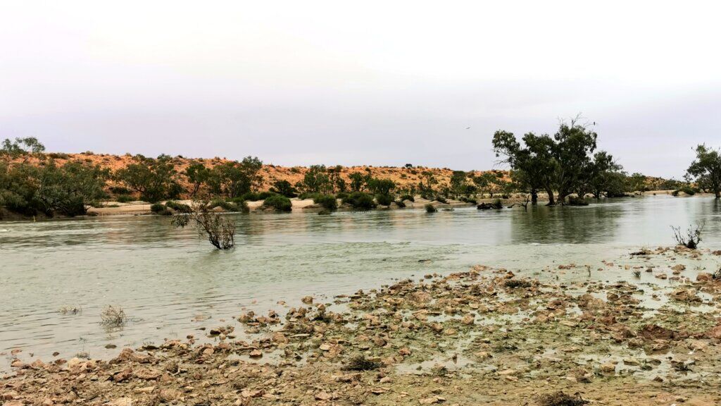
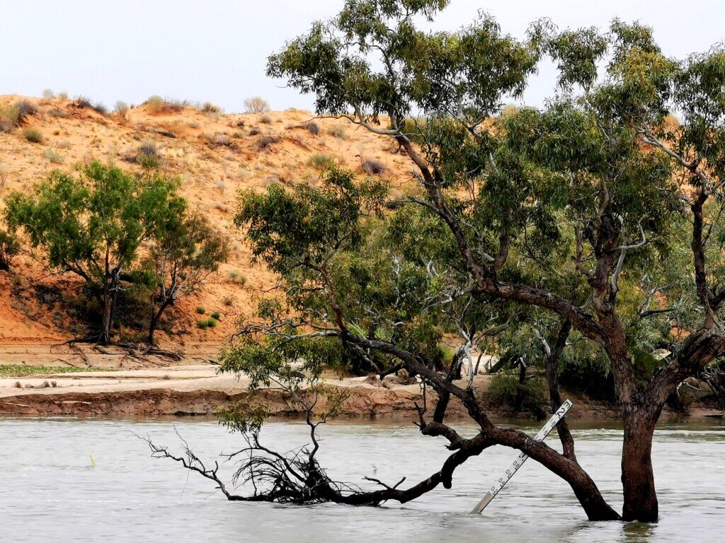
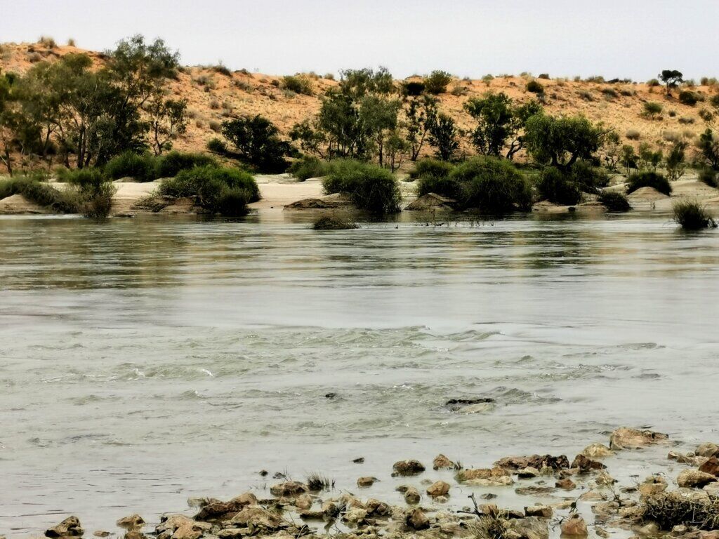
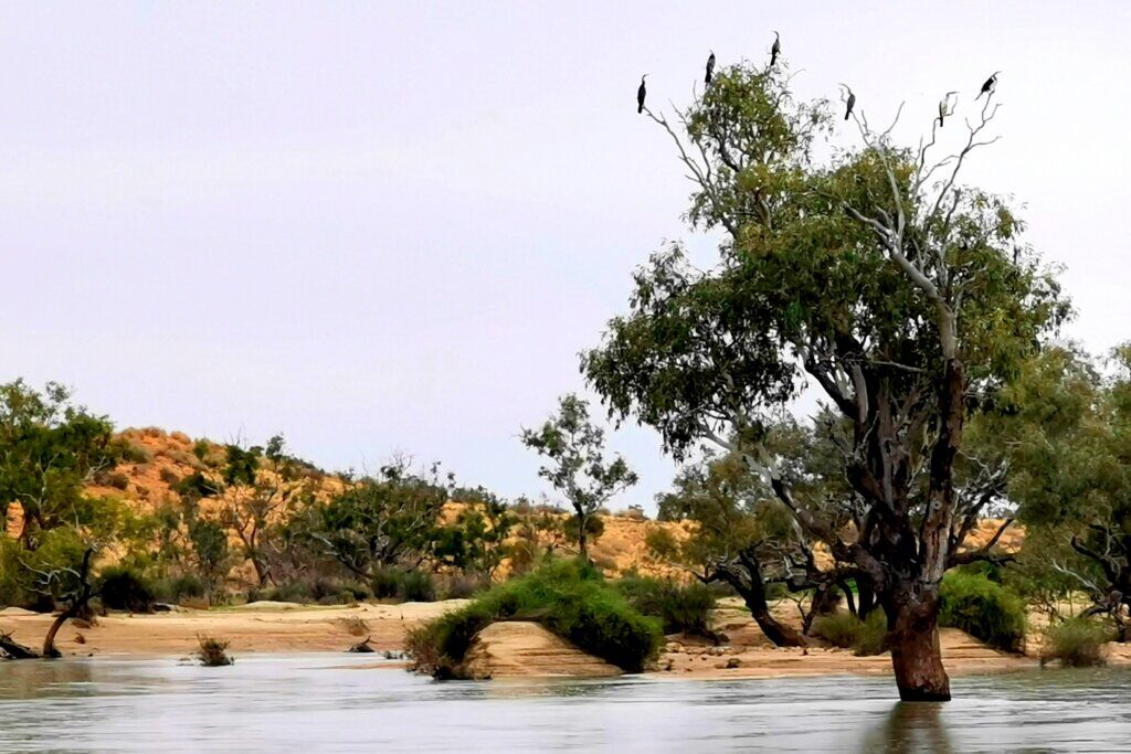
There was no chance of crossing and it is likely to be at least 3-4 weeks before the water subsides. Although I was bitterly disappointed that I was not going to be able to tackle the Madigan Line (no one has cycled it from east to west before – to my knowledge), it was also amazing to see the flood. The landscape was getting a drink, being flushed clean and new growth had started to spring up. The water birds were abundant.
Again, I had to adapt my plans and the only option was to cycle right around the south of Lake Eyre and then back up to the town of Finke/Aputula to then continue the journey I originally planned.
