16th – 21st May | Urgench to Turkmenabat | Distance: 623km Total Distance: 3674km
Day 54: Urgench – Dashoguz 70km
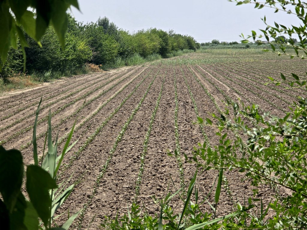
In Urgench, we bid Elena farewell and set off for the Turkmenistan border. Anna and I were slightly anxious about what to expect crossing into Turkmenistan – one of the world’s most secretive countries. I rode towards Shavat, passing field after field of recently planted cotton, fruit trees and other crops. It was a vibrant region with a vast network of canals fed, of course, by the Amu Darya. About five kilometres from the border we stopped for lunch and to organise ourselves for the crossing – border crossings are chaotic and this one would be no exception. It took us a record 4.5 hours to step into Turkmenistan in 36C temperatures!
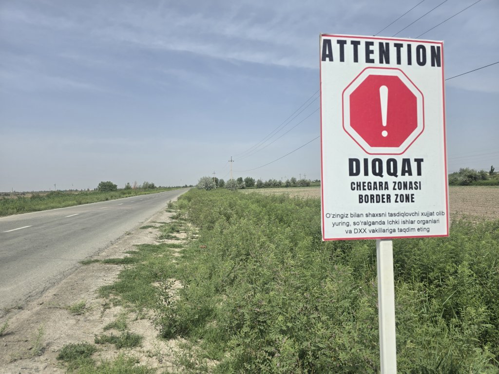
Waiting on the Turkmenistan was our guide, Oraz who helped us through proceedings, starting with a Covid-19 test. Finally through at 5pm, I was led by my new team (Oraz and driver, Atash)15km through the wide streets of Dashoguz to our hotel.
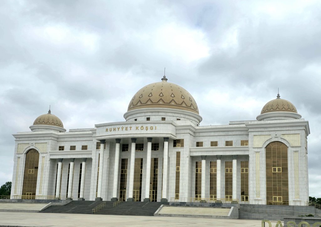
Day 55, 56: Dashoguz – The River Dredgers’ Camp, 110km; Camp – Gazadzhak; 94km
When I asked Oraz what the road would be like for the first section – 200km along a minor road in the desert – he replied he didn’t know because no one has cycled this before and foreigners don’t usually get to see this area.
We travelled fairly close together out of Dashoguz because there were regular checkpoints that we needed to get through. The day wasn’t so hot, but there was a blustery side wind, that became a head wind when I turned a corner and, in the second half of the day, when we again changed direction, a side-tail wind.
I cycled through an industrial zone out of town, and then green fields, mostly being attended to by women. The landscape was similar to the other side of the border. Of course, in Soviet times there was no border and people travelled across the region freely. At the fall of the Soviet Union, when the border fences were erected, families and properties were divided and it is still a real issue for divided families to connect.
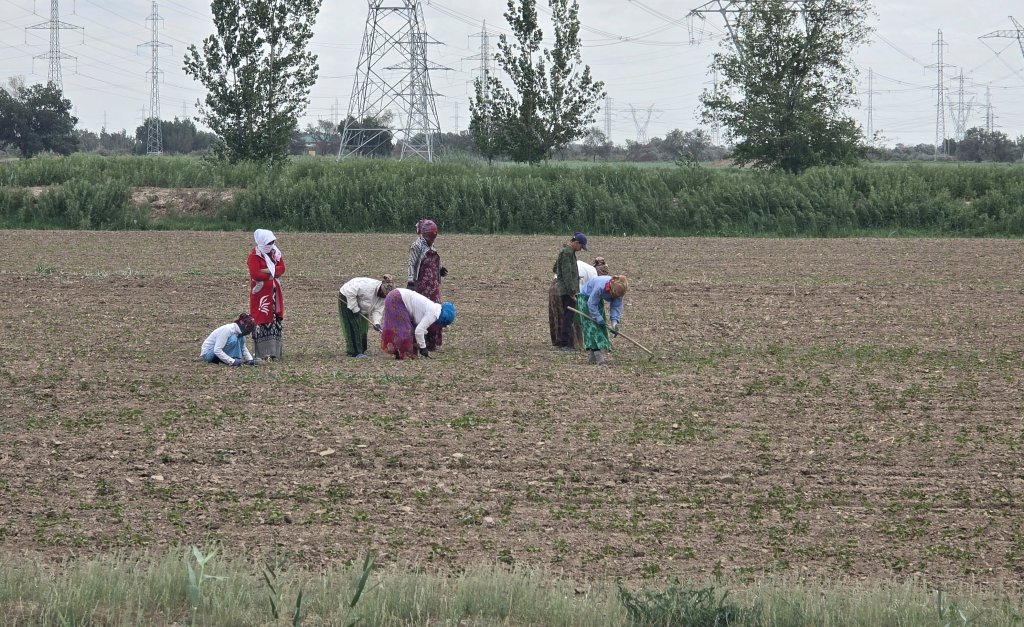
Soon the green fields and villages were behind me and after, the landscape phased to desert. After about 55km we crossed the Godan Canal – the main channel fed by the Amu Darya that provides water for Dashoguz and the whole region. Our route for 200km followed parallel to the canal.
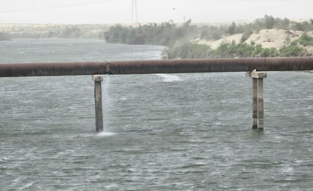
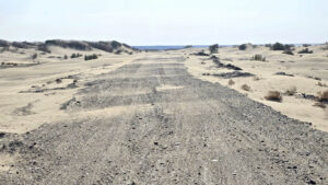
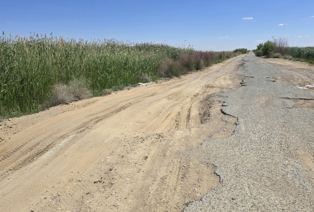
The cycling conditions quickly became ferrel. The asphalt deteriorated into broken islands with sand drifts across the road. Sand blasted horizontally across the landscape and into my right ear! When it got too much, I covered my face, and right ear, with my buff.
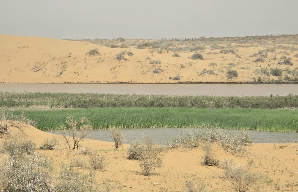
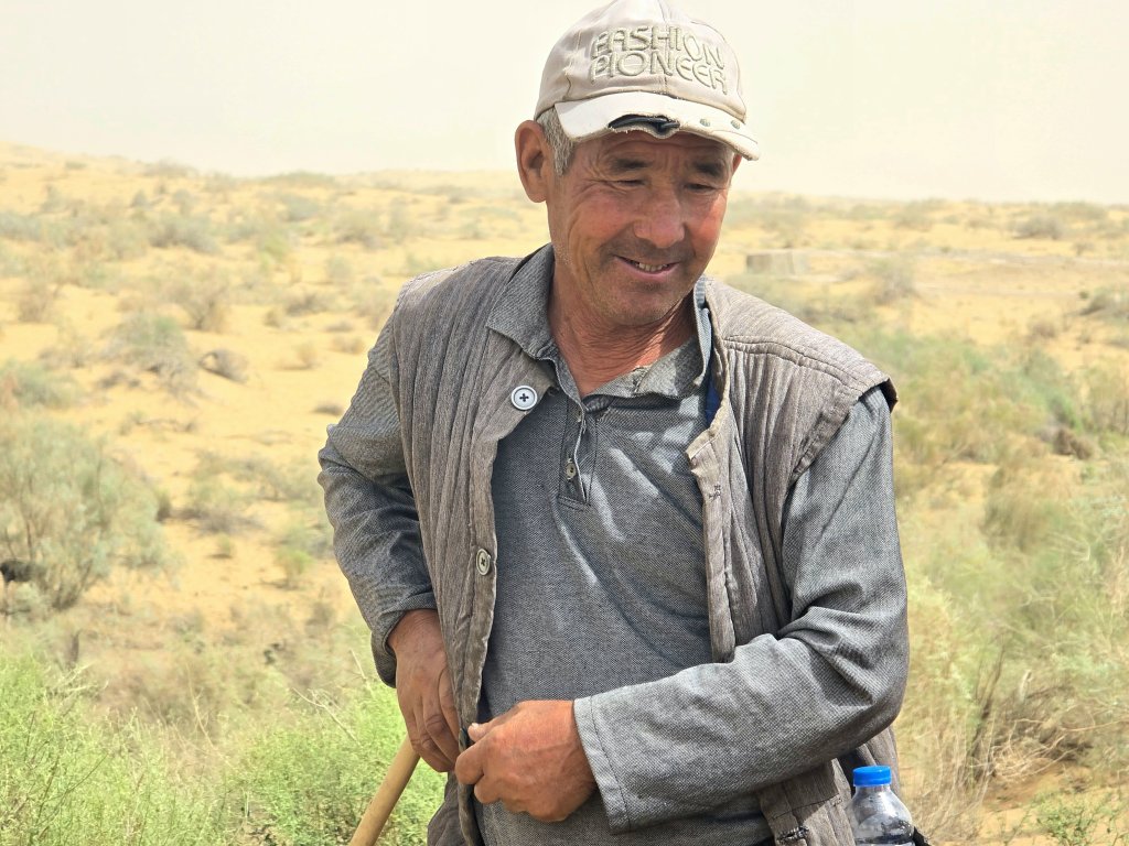
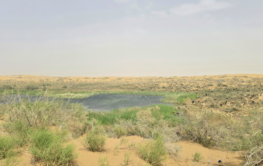
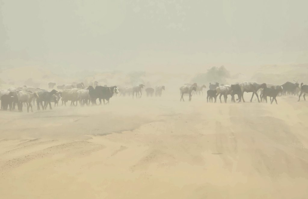
For a total of 60km, the sand consistently swamped the road, when there was any tarmac left at all. I pushed through some of the dunes and constantly battled the crosswind. Fortunately, for the last three hours of the day’s ride, the wind was more at my back as I pushed through the sand.
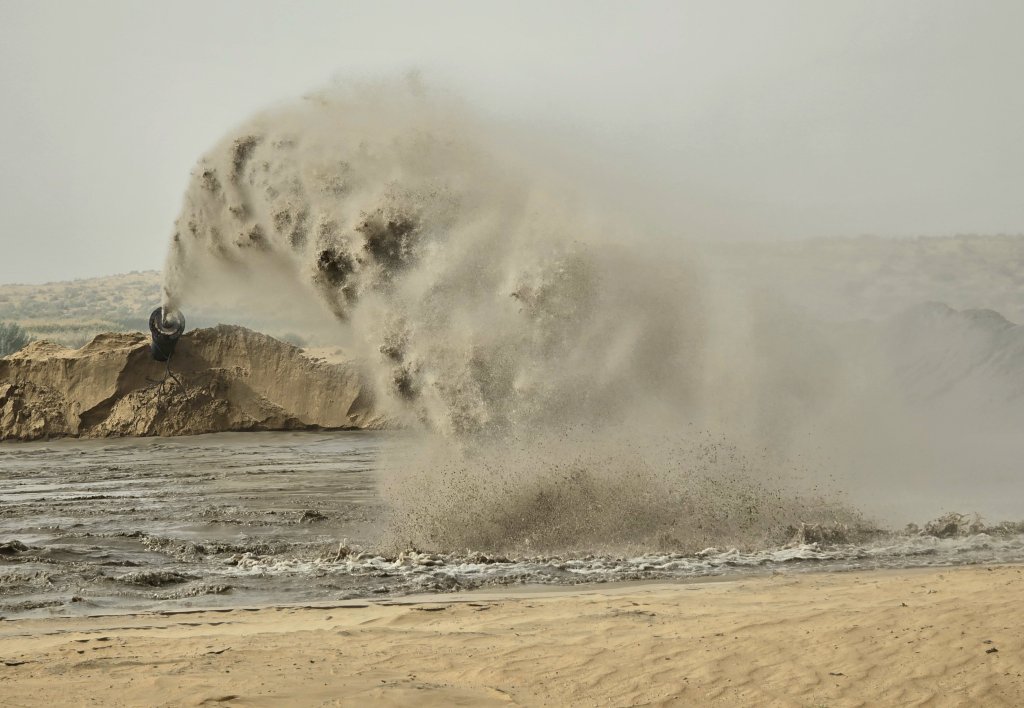
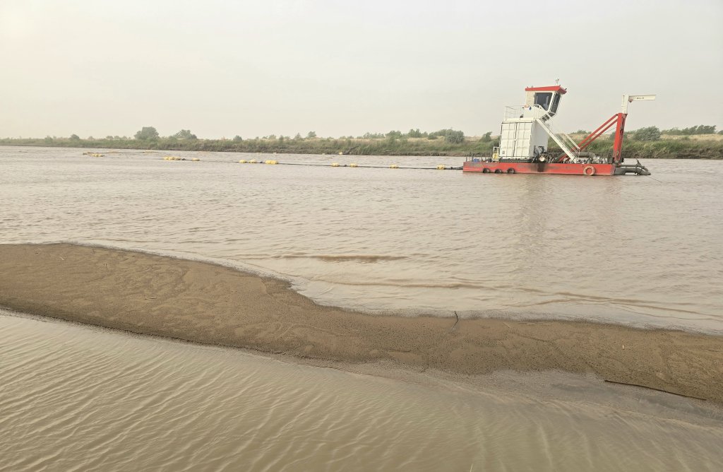
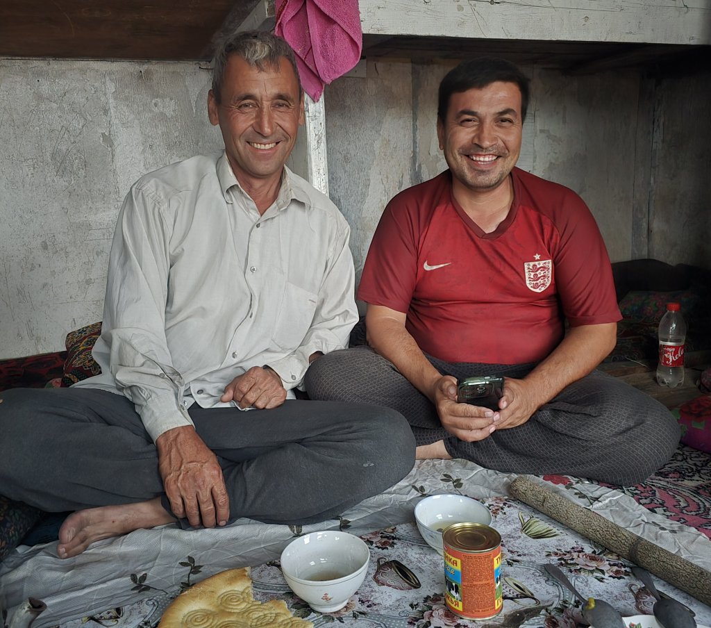
I somehow managed to power through the conditions – I love a challenge – and exceeded my support team’s expectations by covering 110km on the first day. In a small clearing I spotted a fellow waving at me beside his makeshift accommodation fashioned out of an old Soviet train carriage. We were promptly invited to stay. The two guys, Begli and Sapar, operated the river dredger, working 15 days on, 15 days off. That night we slept in their accommodation and enjoyed a meal of pilaf (rice) that they shared with us.
The wind had died down the next day and fortunately, after another 6km, the road started to improve – less sand on the road.
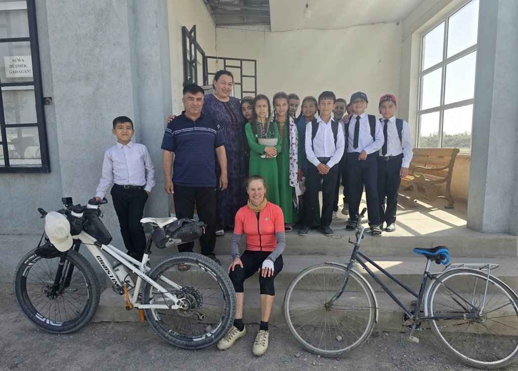
Gazadshak, named after its gas operations, is near to where the Amu Darya is altered, its overflow feeding some huge reservoirs that control the constant flow of water into the canals through the Dashoguz region. Whats left of the river continues through Khorezm and Karakalpakstan. Gazadzhak is not a place where travellers normally visit and there was no hotel accommodation. Oraz negotiated a place to stay in an apartment block nearby. Before we knew it we were swamped by intrigued kids who had never seen foreigners before, or a bike like mine.
Days 56 – 58: 120km, 141km, 88km
The road was generally better than the previous two days, but now I had to deal with extreme heat and, on the morning out of Gazadzhak, a raging head wind. There was nothing to impede the wind across the open plains and the morning was slow going. I just hung in there, head down. Once clear of the reservoir system, the road changed direction enough to make it a side wind and this made a big difference. The temperature reached at least 40C according to Atash’s car thermometer. For lunch we sat in a narrow strip of shade at the base of a ruin.
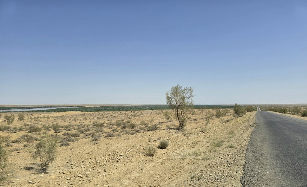
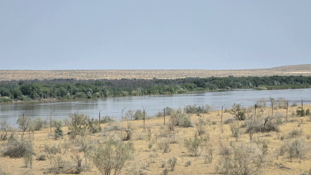
For this section of my journey the road tracked the Amu Darya, but I hadn’t seen the great river, only desert, until mid-afternoon. I passed through several villages located near the river with small farms and green fields. There was a lot of new houses being built and a lot of activity in general.
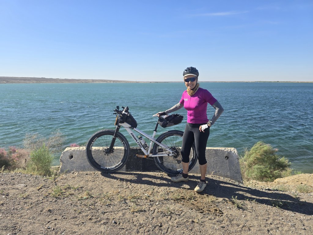
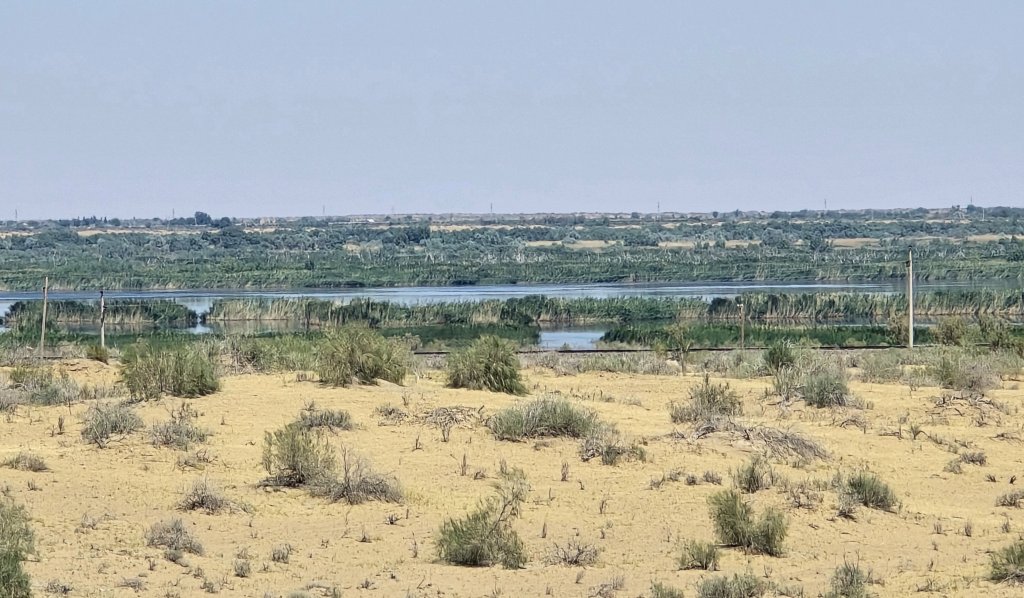
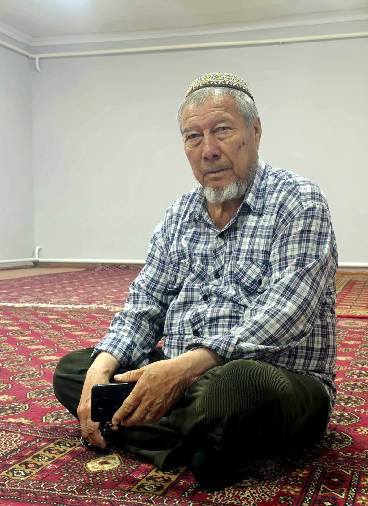
I was pleased to get 120km done as the temperatures soared and my feet burned. By the end of the day I made it ot Darganata – a mosque that was set up for large number of pilgrims. The second in charge (the Imam was in hospital), welcomed us and showed us around. In the mosque’s grounds stands the ruins of a 600-700year old caravanserai that would have once been beside the river.
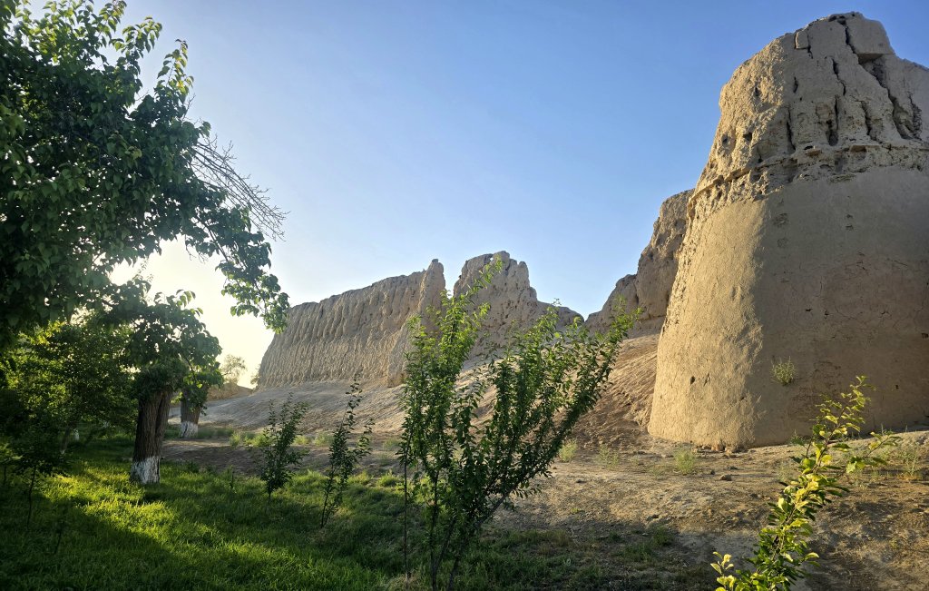
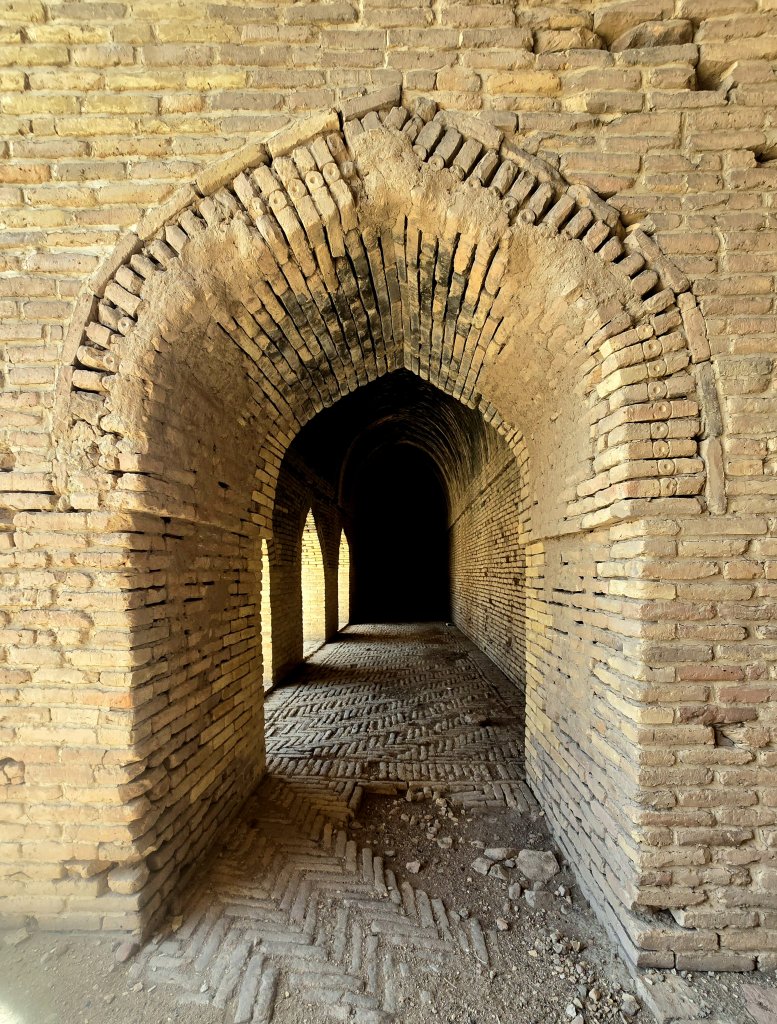
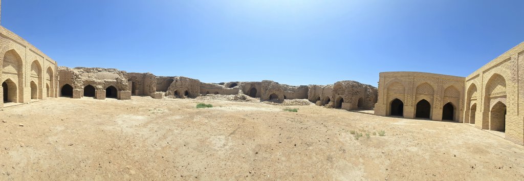
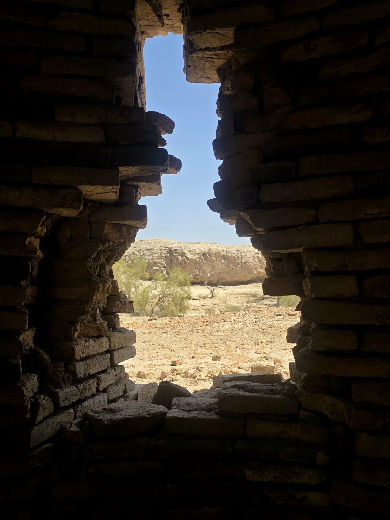
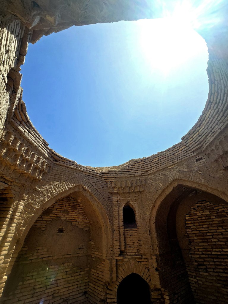
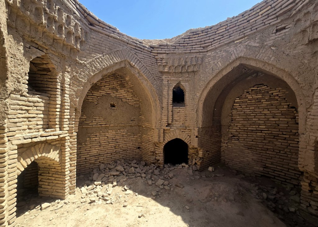
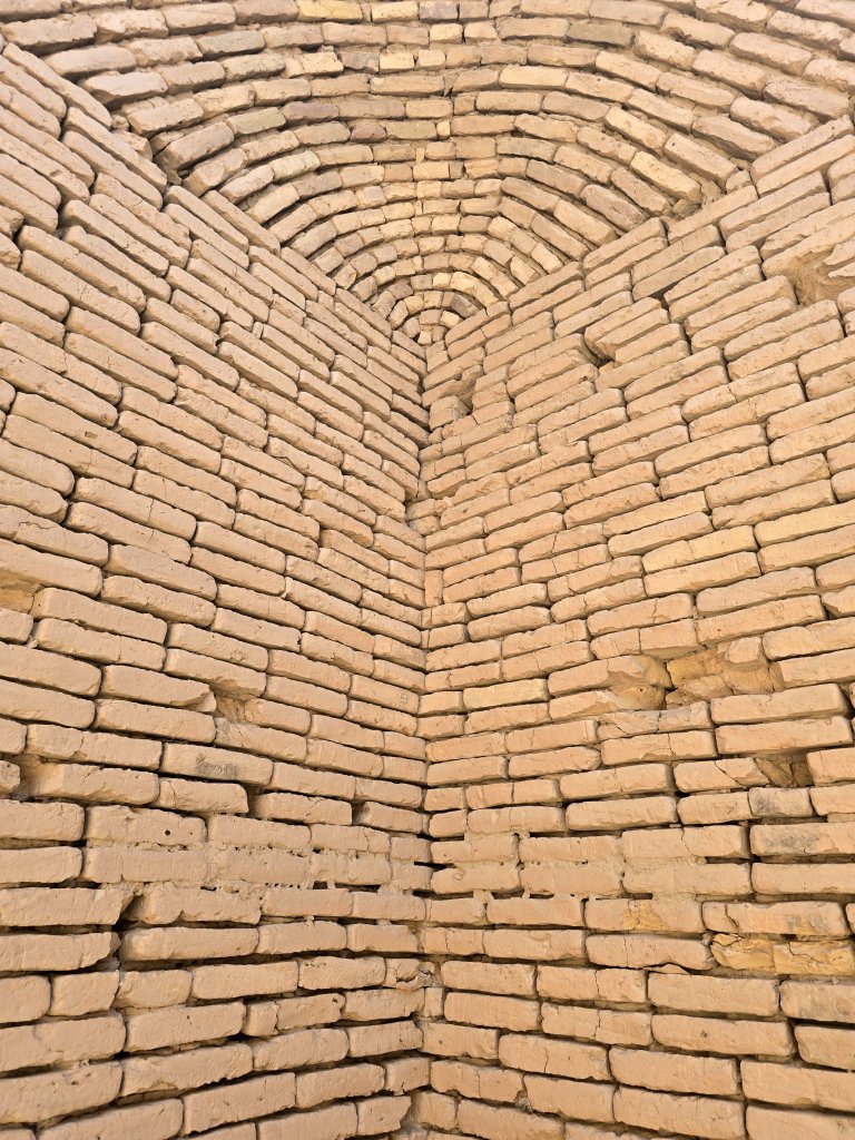
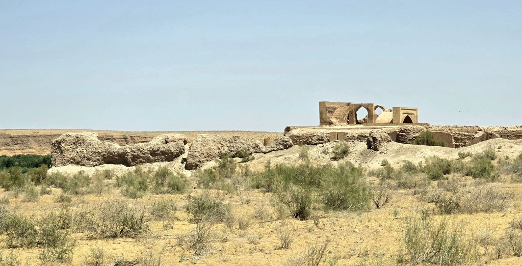
The forecast the next day was for event hotter temperatures. Setting off at 8.45am I was wondering how I would cope. The day was already warm and by lunch I had only covered 50km. The focal point for the day was to visit the Dayahatyn Caravanserai. A caravanserai was like across between a roadhouse and a hotel on the Silk Roads where travellers rest, trade and prepare themselves for the onward journey. This caravanserai dates back to the 12th Century and is the best preserved caravanserai left standing. Even though it had been abandoned for 500 years, most of the structure stands whole.
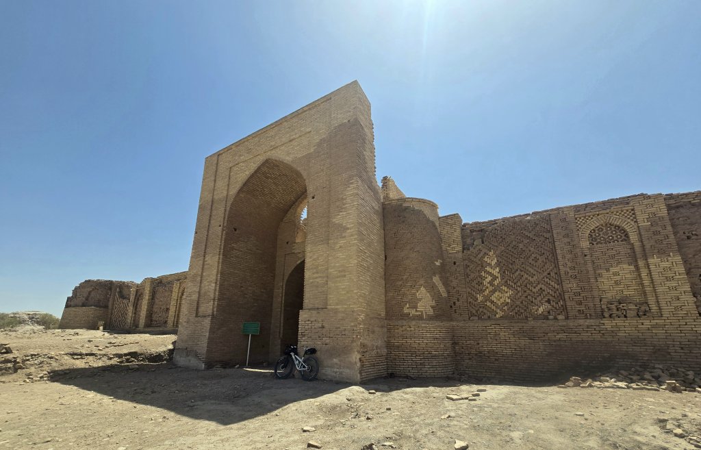
The front part of the medieval hotel has been partially renovated by the USA Cultural Fund. The brickwork is exquisite
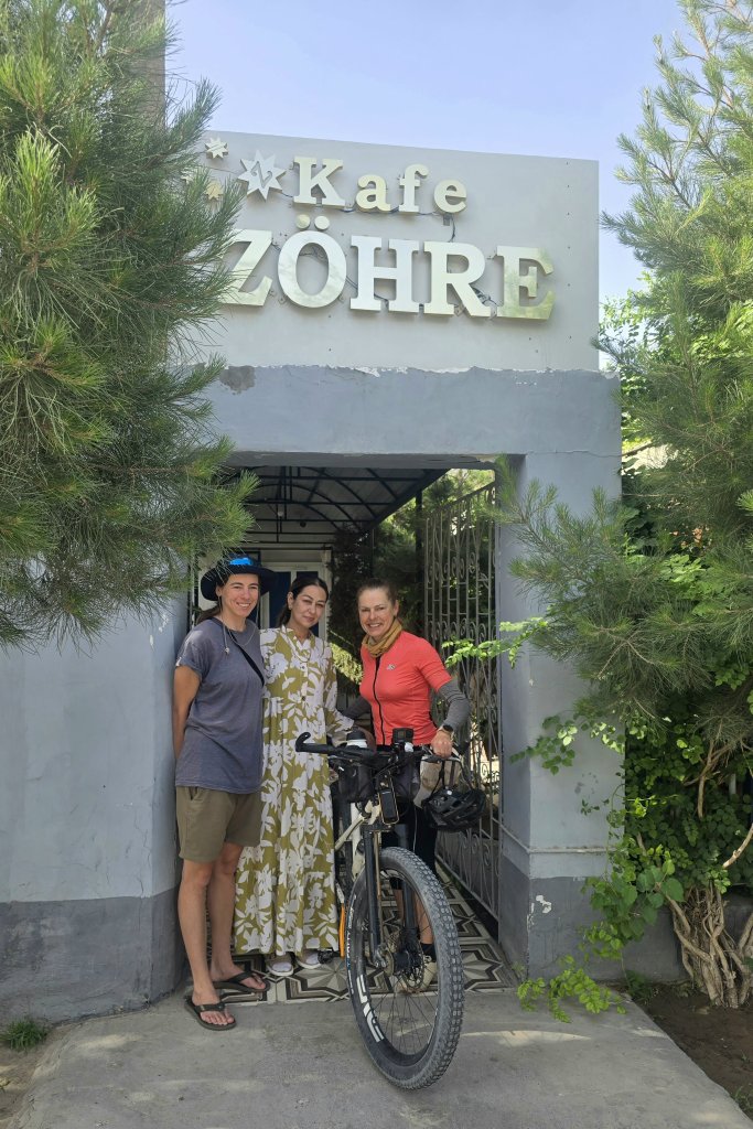
It could have been the samosas (Somsas) I ate at the (modern) roadhouse truck stop and checkpoint, but I seemed to recover in the afternoon and was able to push out a further 90km. Oraz, our guide, must constantly connect with the authorities to let them know where we are and where we stay at night. If we reach a town with a registered hotel, we are obliged to stay there. The one in Seydi wasn’t used to foreigners staying – it was a legacy of the Soviet era, but we managed ok. The restaurant recommended to us produced the best meal in Turkistan so far. At the end of our meal, the owners, Shahlo and Shohvat introduced themselves and, saying they hadn’t had anyone foreign eat there for a long time, gave us the meals free of charge. They then offered for us to return for breakfast
About 12km from Turkmenabat, I was having another tough day – 3 in a row – of over 40C heat. I was cooking, just trying to get to the city for a rest day. I needed one last stop of escape the heat and we walked into a small shop by the side of the road. The owners were so impressed and pleased to meet us, he sat me down in his shop. I went to buy cold water to add to my (hot) water bottles and an iced green tea , but he would let is pay. Then out came more drinks, home made eggplant salad, chocolates, and dry biscuits.
From there I negotiated busy traffic with the protection of my team. Keeping focus in traffic in the heat is not easy after such a tough day in the 43C heat.
What has struck me most so far is how friendly and generous the Turkmenistan people have been. They have virtually never met foreigners in the parts I just cycled. Kids were afraid to have their photo taken, or just stared. the Imam at the mosque, shop and restaurant owners.
Again I am running late and need to publish before we leave Turkmenabat, Turmenistan’s second largest city, tomorrow. Communications are limited here and I won’t have good wifi again for a few days.
FOLLOW THE JOURNEY
Thanks to ZeroeSixZero, you can open this link on your phone and select “add to home screen” and the map will become and app. You can then keep updated in real time.
TAKE ACTION
Support my Water.org fundraiser to help bring safe drinking water and sanitation to the world: Just $5 (USD) provides someone with safe drinking water or access to sanitation, and every $5 donated to my fundraiser will enter the donor into the Breaking the Cycle Prize Draw.
EDUCATION
An education programme in partnership with Exploring by the Seat of Your Pants, with contributions from The Royal Geographical Society and The Duke of Edinburgh’s International Award Australia. We have created a Story Map resource to anchor the programme where presentations and updates will be added as we go.


