EPISODE 12 | 14th – 18th APRIL | POCITOS TO LONDRES | DISTANCE 541 KM | TOTAL DISTANCE 2921 KM
Sorry for the silence – it’s not because nothing has happened, my brand new laptop has a faulty battery and stopped working more than a week ago. I am now borrowing a friend’s computer to get the rest of the story to you.
I should note it was just as well that I decided not to climb Llulliallaco because our Argentinian friends, who are very strong climbers, had to abort their summit attempt at the last base camp (5900m) because of the extreme winds. If Toby and I had climbed with them, we too would have not made it, and as well, I would not have a chance to finish the cycle expedition.
The cycle journey resumed from where I stopped pedalling at Pocitos. I set off pushing around the eastern perimeter of the salt pan on a real mission. To finish the journey in time, I had to complete 880km in eight days on some very challenging roads and with unpredictable weather conditions.
It took about 45km to reach the southern end of the salt pan, on a very dusty, corrugated undulating road. Fortunately there was no headwind, just a light side wind whistling across the great white expanse.
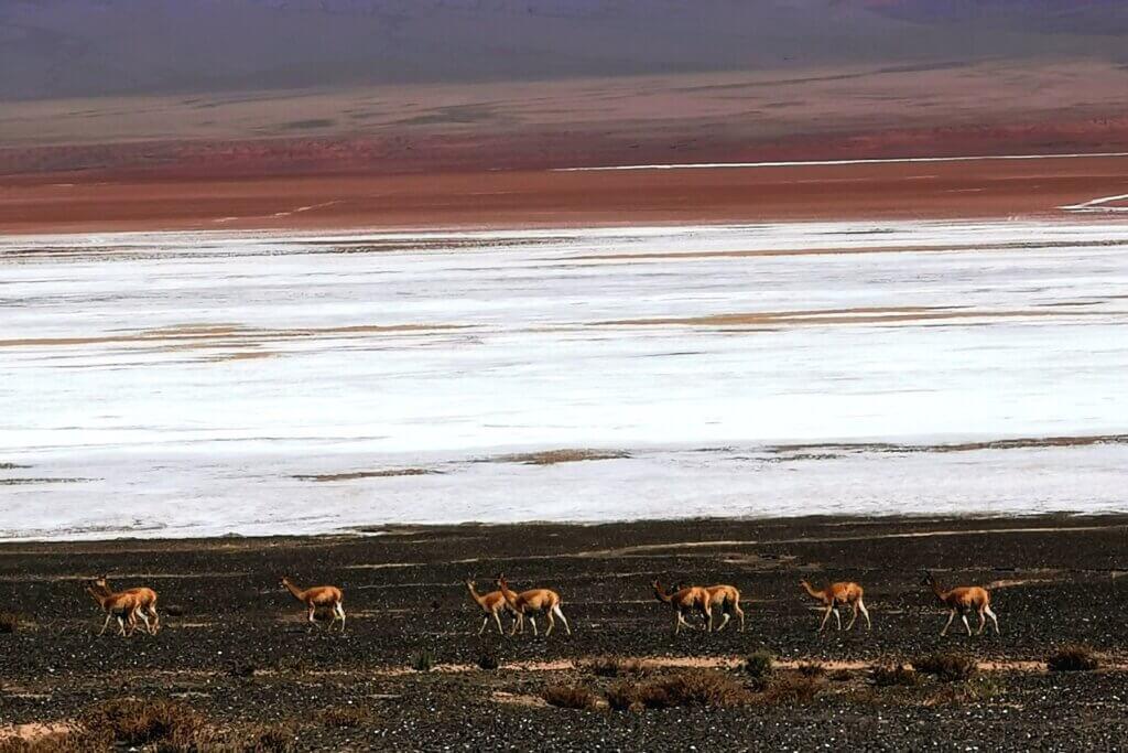
Climbing away from Salar de Pocitos and up a wide valley, the winds started as favourable but then it all changed. The road, R17, which is the main north-south route across the Puna, turned evil – a long, slow 13km ascent to 4040m on heavily corrugated and sandy road slowed me right down. I was starting to worry that I wouldn’t make the 100km minimum distance that I set myself each day (knowing that not all the route would be unsealed).
Finally I got the tail wind I had hoped for – at least for 20km – and a fun descent, but that was followed by another climb to 4202m and some very cold cross winds later in the afternoon. As there was not even a hamlet in this section for over 200km, we had to camp. The guys went ahead and found a road-making ditch deep enough to offer some respite from the wind. It was a very cold, uncomfortable night but at least I went to sleep satisfied that I had covered 104km.
My water bottles were partially frozen in the morning and I was keen to get moving just to warm up. The aim was to reach the main town in the region, Antofagasta de la Sierra, but I thought 120km might be too ambitious.
Salar del Hombre Muerto, or “Salt Pan of the Dead Man” was a chilly seven kilometre descent from where we camped. The salt pan is big. I enjoyed pedalling the flat 25km salt causeway across the 600 square kilometre pan, one of the most important lithium sources in the world. The name Salar del Hombre Muerto may be a reference to the presence of Inca mummies in the area. The Incas used to mine for gold on one part of the lake.
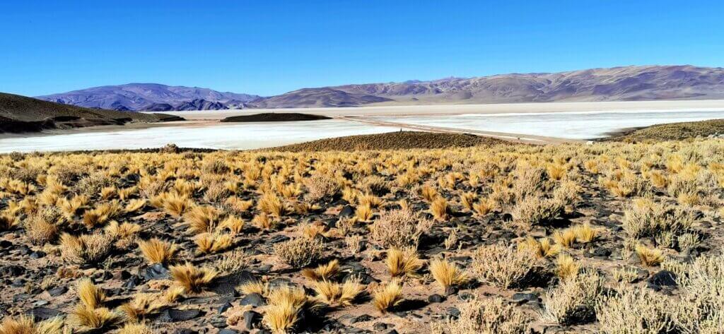
From there, my day started to become very tough as I followed the winding southern shore of the salt pan, over some steep little climbs confronted by polar-like cross and head winds that halved my speed, then a very testing 200m climb out of the depression.
Facing me after lunch was the biggest climb of the day, from 4100m, steeply through sand for the first 250m, then a rollercoaster of descents and sharp ascents, eventually to 4437m.
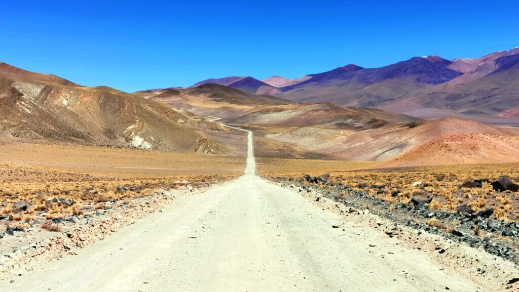
I found the Argentinian truck drivers very friendly and considerate, often stopping to let me pass so I didn’t get showered with dust and stones. One fellow actually waved a couple of oranges out the window. I had to politely refuse because I was pushing hard up a steep slope and couldn’t stop to peel and eat them, or carry them over the pass.
From the summit in the mid-afternoon, there was still 60km to go, but it looked like I might get there with a raging tailwind and the promise of a long descent.
That lasted for only about 10km before the road began to track around a mountain with many steep climbs and I battled constantly with a side/head wind. The high volume of my 3.25” wide tyres means my bike is really affected by side winds. At one point, as I ascended around a sandy, stony corner, a gust blew me over and I landed heavily.
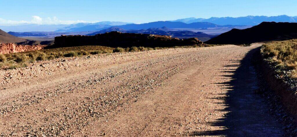
I continued struggling with the biting polar winds as the team ventured 30km ahead to find accommodation in Antofagasta. Dropping down from the mountain, I started making better progress, and pedalled the last 20km into the evening.
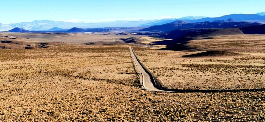
By the time I arrived in the town at 8.30pm, after more than nine hours of cycling, it was completely dark and I was wearing two down jackets to manage the wind chill. I was proud of my efforts to get there and stay on track to reach the finish in time, though worried how I was going to sustain that kind of effort for another six days.
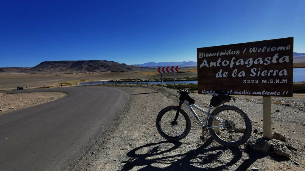
Antofagasta de la Sierra is the main town in the region (1200 people), with a large indigenous population made up of the Diaguitas and the Atacamenous (or Atacama) people. Heading south, I was very pleased to hit the asphalt on a road that was only made 45 years ago. About 7km out of town I entered a spectacular volcanic area with barren, black cinder cones, considered extinct, but not geologically old (approximately 37,000years), and black lava fields. These lava flows lasted for 15km before opening out to a vast desert region dotted with volcanoes of different colours – red, brown-tan, black – it was really spectacular.
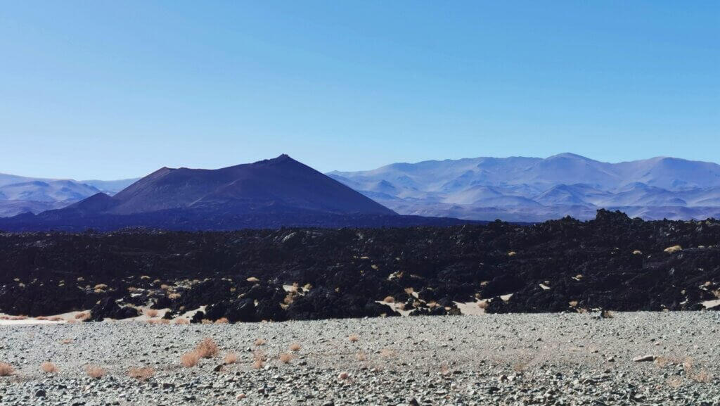
The road was arrow-straight for about 25km, bisecting the desert and dropping from 3300m to 3000m before the climb started abruptly to get out of the depression.
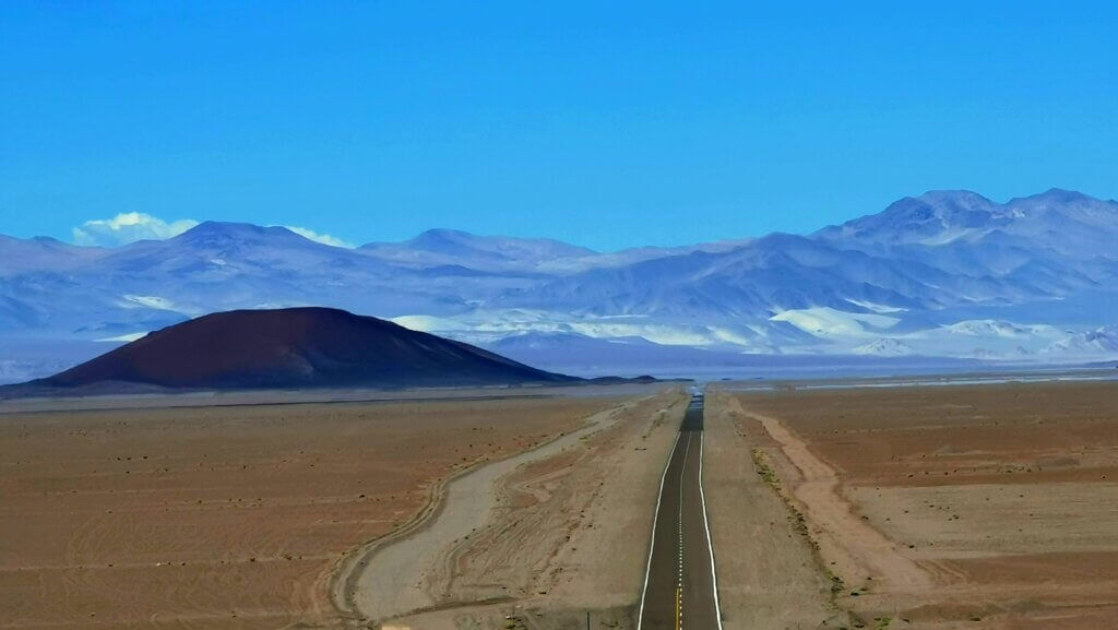
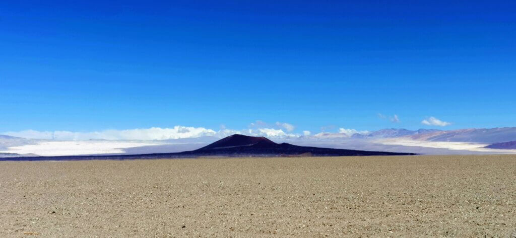
I reached El Penon, a very attractive, well-kept town at 3400m, by about 4pm. I thought I was going OK, but hadn’t appreciated what was ahead of me. The climb started gently enough out of town (2-3% gradient) although the asphalt was very rough with a lot of rolling resistance. then the gradients increased to average around 5-6%. The real difficulties came at 3700m, when the freezing mountain winds kicked in, swirling from different directions – mostly from head on or side on – making it a struggle to keep on the bike and move forwards at all. I was filming this ride for FulGaz, so I couldn’t stop. It ended up being one of the toughest ascents I have done, reaching 3999m according to my Suunto watch and Wahoo Roam bike computer.
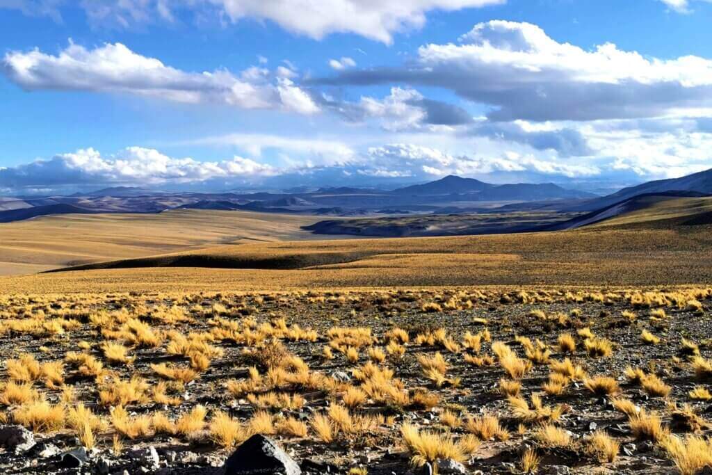
At the pass I was so cold I put another down jacket over my light down jacket and covered my legs, hands and head with more layers in preparation for the descent. The scenery was absolutely stunning but my throat was rasping raw from the cold I could barely speak. The location was difficult to appreciate being so exhausted. It was getting late and I was well short of my minimum distance for the day.
I could not feel my hands as I descended, even with the two down jackets on and wisely stopped after only 92km for the day. It was taking too much out of me. This was a wild place and far too cold and exposed to camp with the equipment we had. We marked where I stopped cycling and drove to a town, Barrana Larga, much further down the road. It was a smart choice to reboot there in preparation for the next five days.
Returning to the spot where I stopped the next morning, there was a dusting of snow on the mountains and frost on the ground. The day began with a 200m/55-minute ascent back up to nearly 4000m, but the rest was basically downhill! I started the descent all rugged up and reached speeds in excess of 60km/hr, but then the gradient eased and I could enjoy gliding through the incredible landscapes. The deep gorge was filled with colourful, rugged slopes – red and yellow tones a feature of the rocks.
To keep me honest, there was about 30km in total of stones and gravel, but finally I was onto the tarmac.

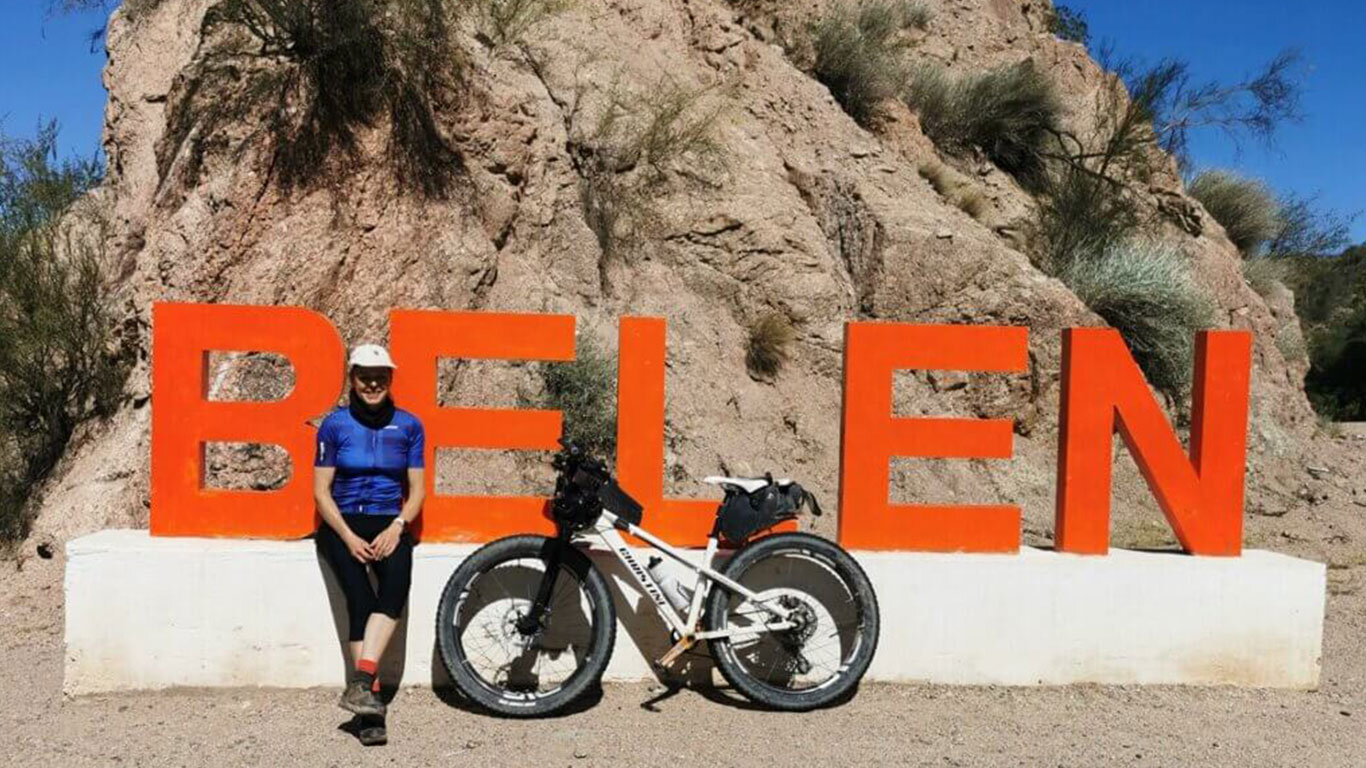
The R43 led to the busy main road, Ruta 40, winding through another rocky gorge to reach Belen, a city of about 200,000. We used Belen as a pit stop to prepare for the last four days.

