EPISODE 8: 28th – 31st MARCH | QUETENA CHICO TO TUPIZA | TOTAL DISTANCE – 1591 KM
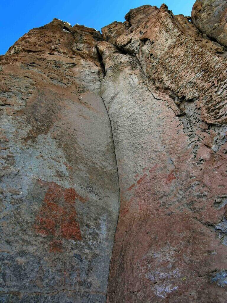
My rest day was indeed a break from the bike, but it was an opportunity to see a little of what Quetena Chico, a town of about 500 people, had to offer. Rolando arranged for us to visit the museum, financed by NASA, that gave some great insights into the region, culture, geology and nature. Then we took a drive to see if we could find the Chaquilla Rock Paintings. About 8km from town, Rolando turned off on an unmarked gravel track towards the ancient lava field I had cycled through on the way in to Quetena Chico.
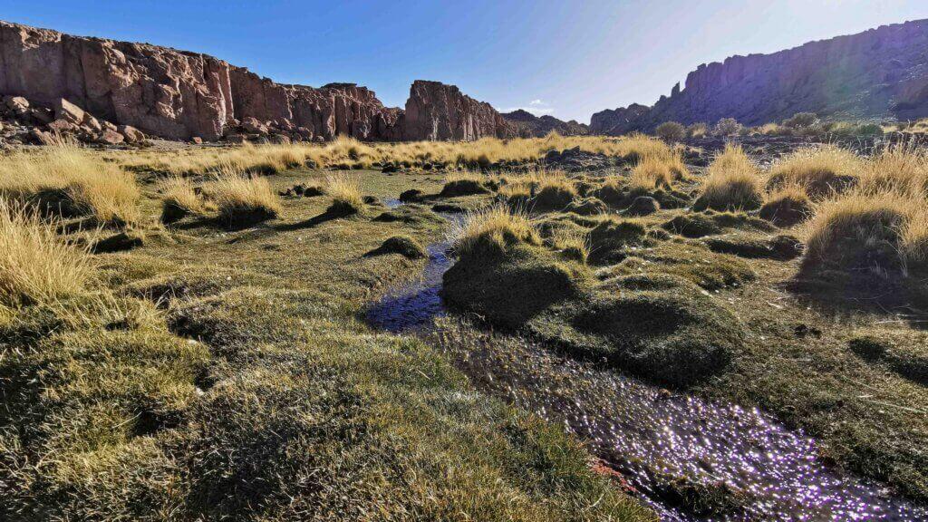
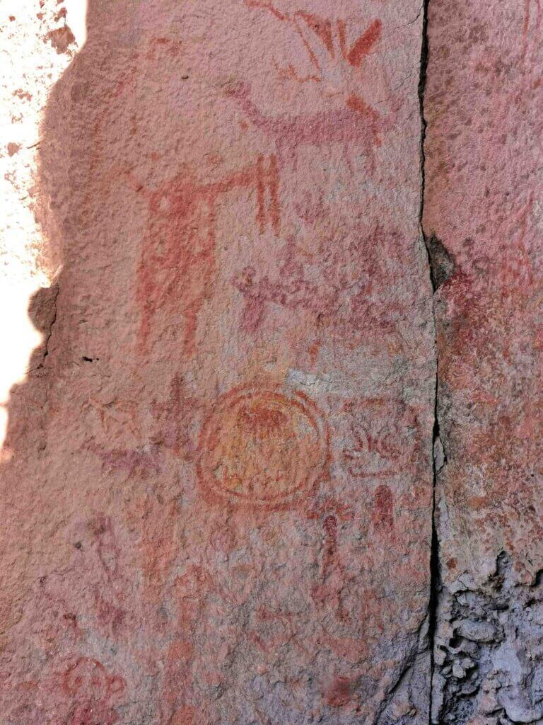
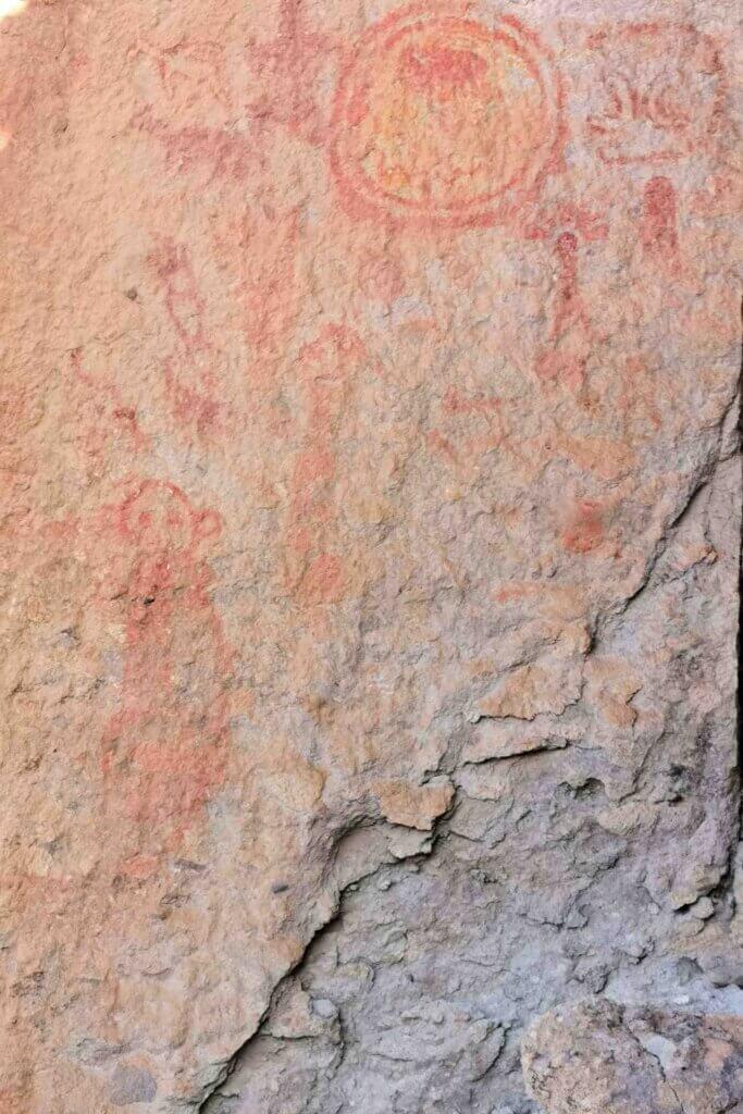
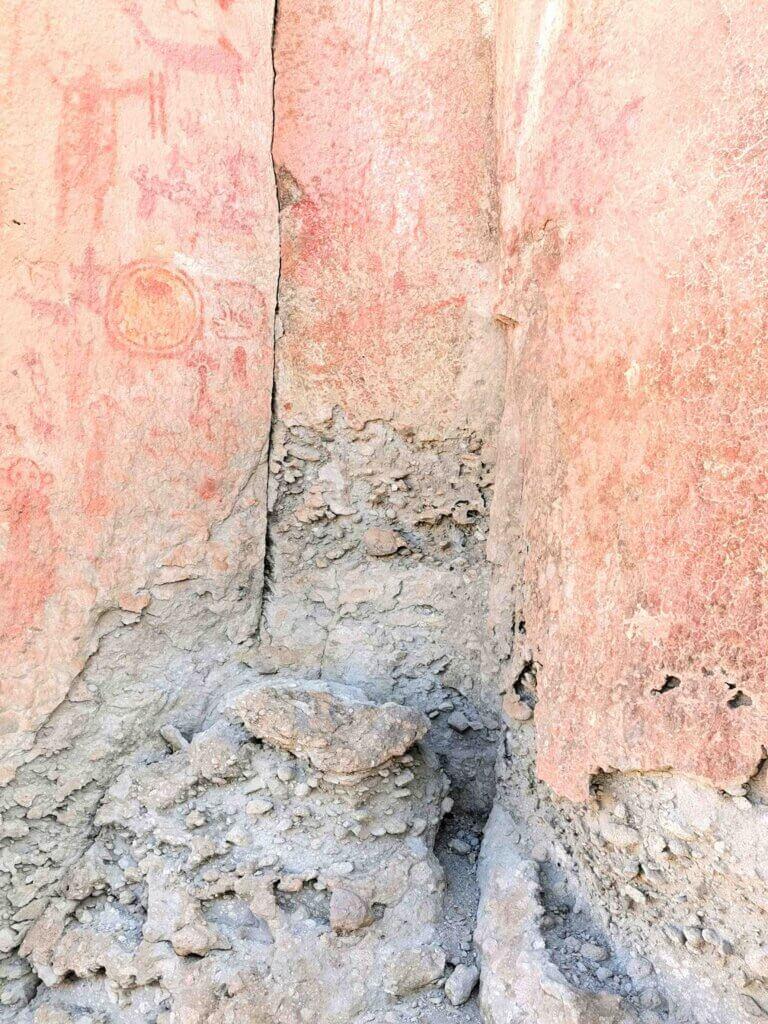
The region around the lava field had a very different feel – amongst the weathered gorges, llamas grazed on the green grassy spring-fed wetland. There were a couple of equally weathered signs to show the artwork was there, but no other information. Some of the rock faces made a perfect canvas for the ancient artists. One site in particular was rich with images of what life was like, what they hunted and farmed. The paints were most likely made from local minerals – red, white and yellow probably from iron, white and yellow from maybe ochre/clay.
Crossing the Lipez Mountains that form a physical barrier between the Altiplano and the Puna de Atacama, had always loomed as one of the toughest sections of the journey due to the altitudes, rough tracks and remoteness.
Day 1 out of Quetena Chico was the toughest for altitude – 1512 metres of climbing over 65km in almost 8 hours! Our lunch break was at 4713m, then a drop to 4552m before climbing to 4905m. I then dropped to 4444m, crossed another stream before climbing to 4800m!
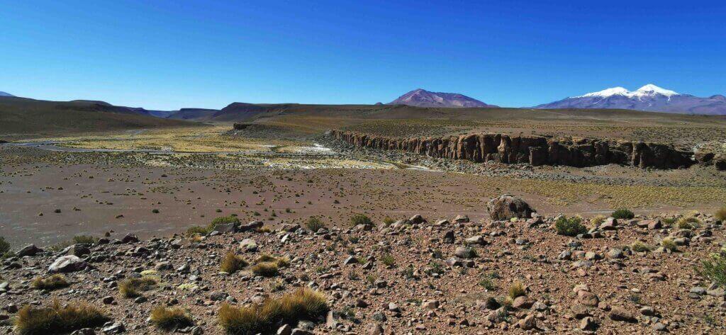
The gradients were really knocking me around. The first couple of steep climbs with a lot of loose stones, wash aways and corrugations (10-15% gradients) really sapped me. I decided it was not sustainable to try to cycle up anything over 10%, I just walked my bike to try to manage my workload and the lactic acid in my legs. There were no bridges either, so that meant I needed to cross the streams – cycling if possible, carrying my bike if it looked too deep.
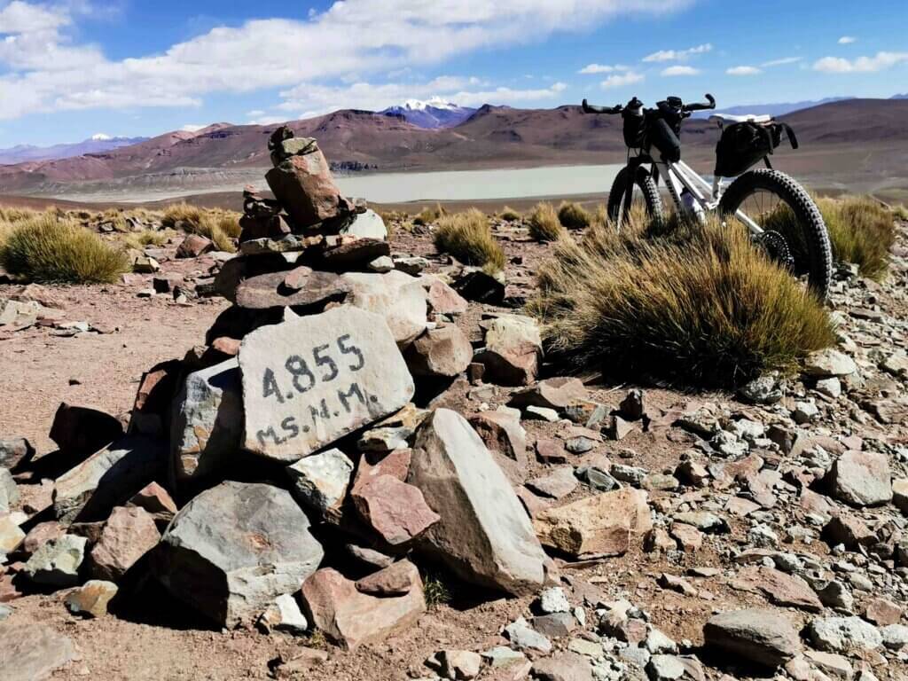
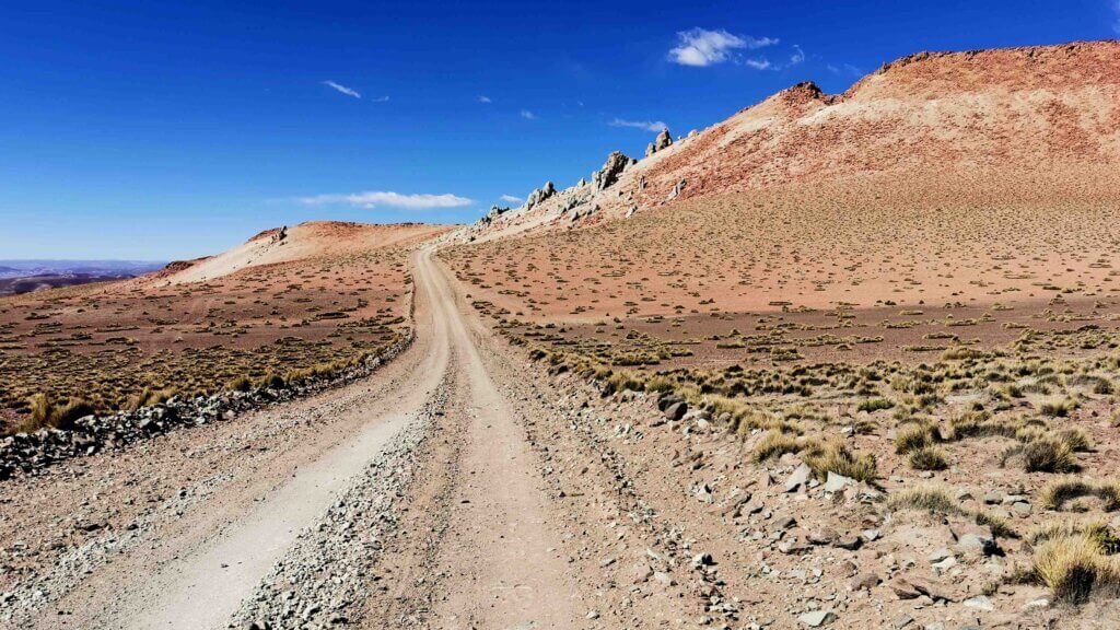
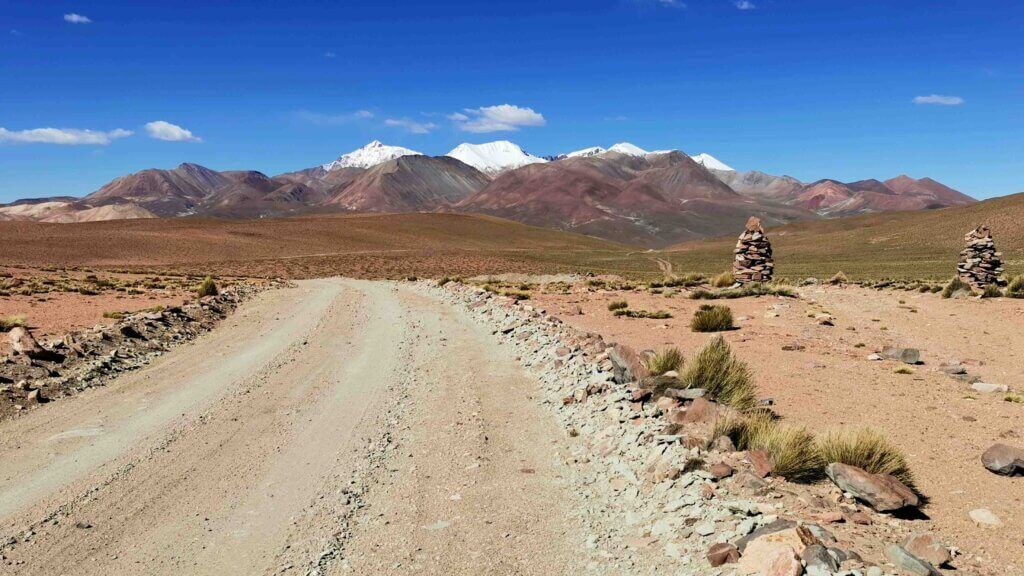
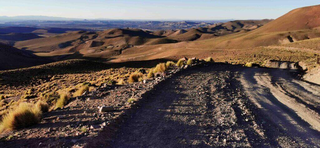
Despite the hardships, scenically the region is spectacular and there were many sights I will never forget.
Day 2 began with a spectacular 6km drop before climbing back up to 4720m to visit the ghost town of San Antonio de Lipez. Once a silver mining town with a population of around 150,000 people in its heyday, it was suddenly abandoned about 50 years ago. Some believe that a group of miners had a pact with the devil and when they did not keep their end of the bargain, they were killed. Townsfolk believed the place was haunted and almost overnight, the town was deserted.
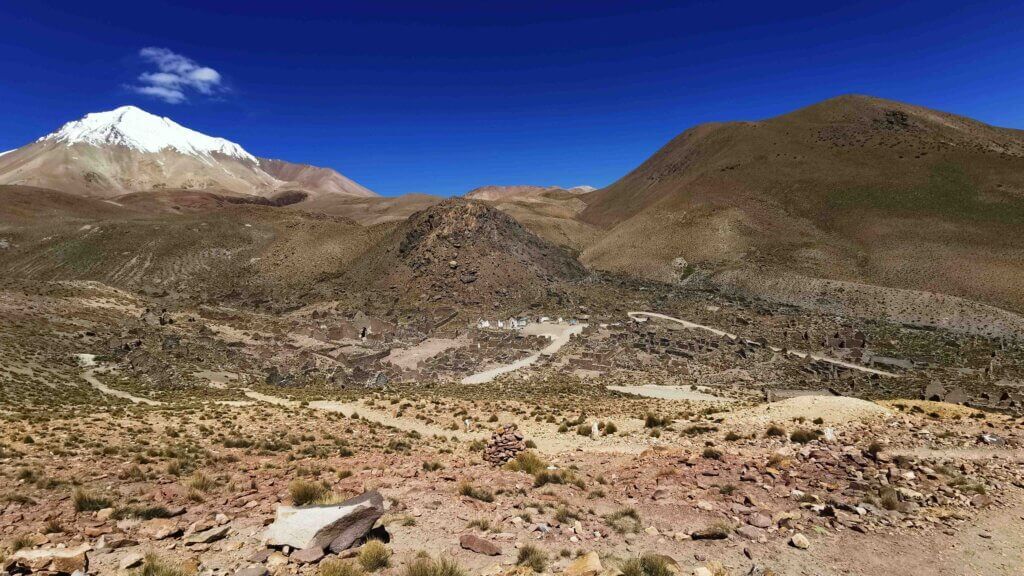
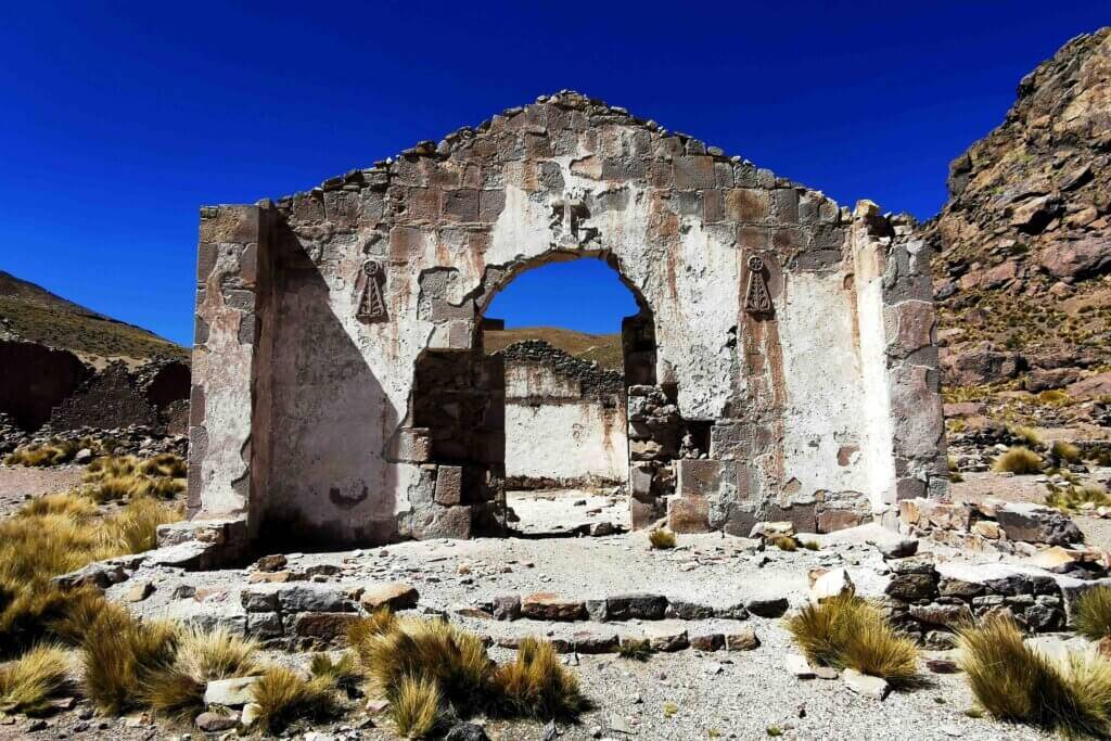
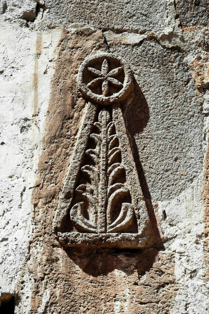
It is amazing how much the buildings have returned to nature after a relatively short time. The stone buildings were crumbling faster than they normally would have due to the poor quality mortar weathering.
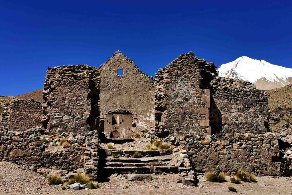
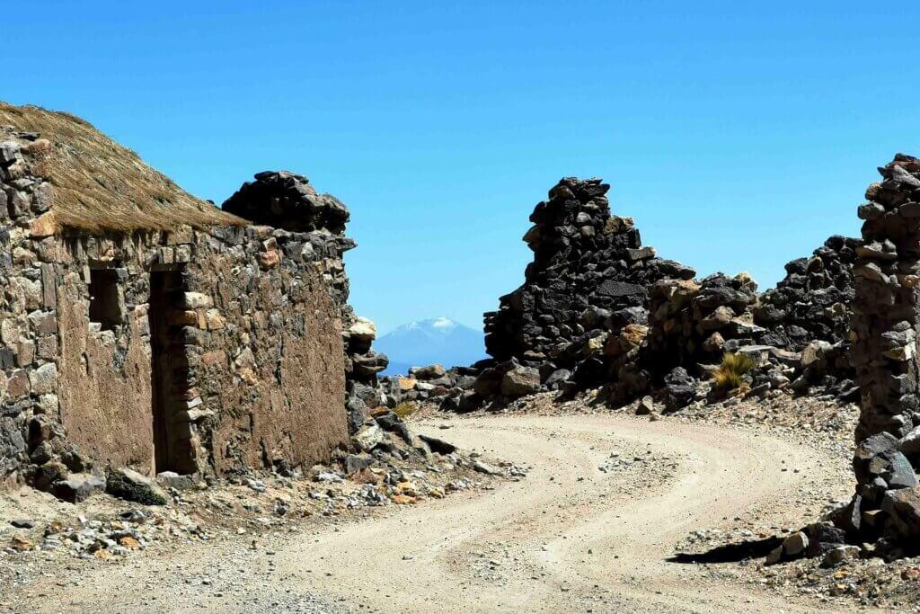
Thankfully after climbing out of San Antonio de Lipez, I was over the big climbs for now and enjoyed some fantastic descents, albeit very rough and sandy. By the time we reached San Pablo de Lipez, the main village in the region, I was feeling shaken to the core from the constantly rough surfaces.
Leaving San Pablo on Day 3 of this section of the journey, I opted for a slightly longer but less mountainous route that, once over a ‘warm-up’ 4km climb, I dropped several hundred metres to a vast plain. The silt from the river gave the impression of a river of chocolate!
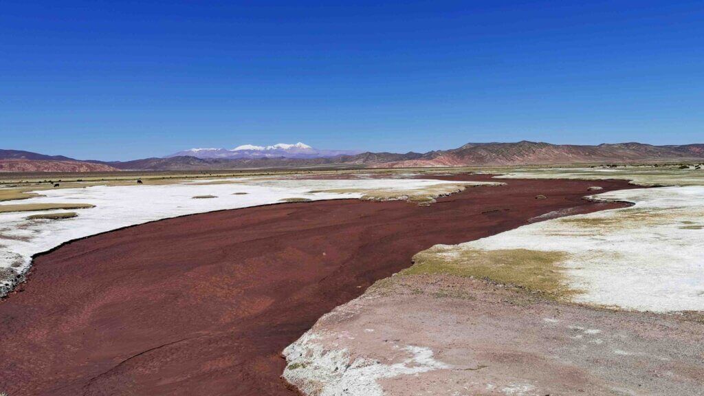
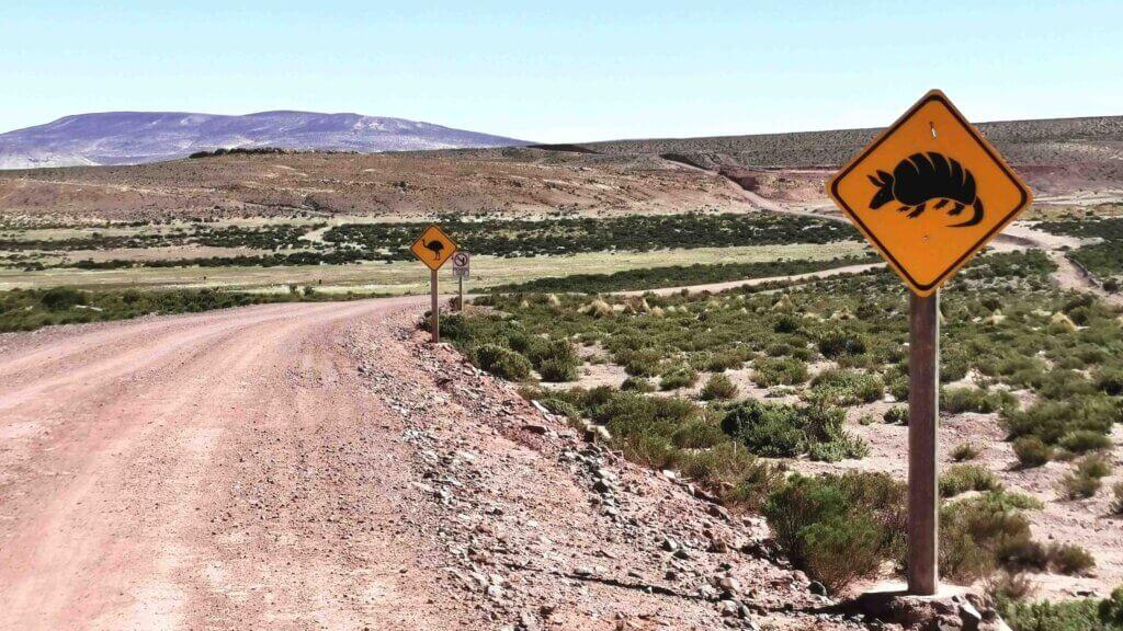
It was a very different landscape with the vast floodplain. The track was indeed flatter but, as with most flatter land it comes with a cost of a lot of sand and corrugations. After the village of Cerrillos (50km) we turned towards Tupiza, initially across open plains with small rises, but towards the end of the day, the mountains loomed. My legs were shot as I managed one final 4km climb for the day, over a 4400m pass and then dropped a couple of kilometres to where Toby and Rolando had set up camp.
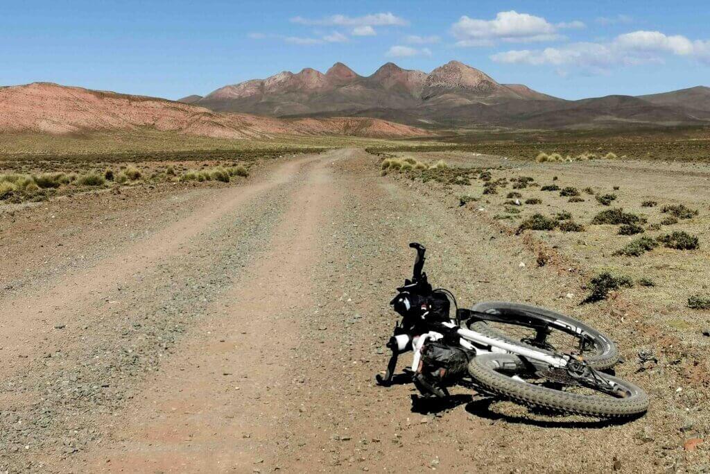
This left me 88km to do on the day into Tupiza. Rolando knew the road – a better quality surface than what I had been enduring the previous three days, but there were some very big climbs. Rolando thought I would fall short.
The gradient of the first climb wasn’t too bad, mostly 5-7% and I did that easily. From the pass, the road stayed high above beautiful valleys, now much greener than the western side of the Lipez ranges. I loved the track, winding over and around the hilltops. Things were going well, with a welcome tailwind fanning me along and over some short steep rises. But, there were two massive climbs still to do before I reached Turpiza.
I entered a strikingly different landscape of rugged red seams of rock, eroded into jagged spires and greener valleys and hills. The penultimate climb (220m elevation gained) I managed well, but the final climb involved a 500m elevation gain, back up to 4367m and it was seriously steep, the first section around 13% gradient.
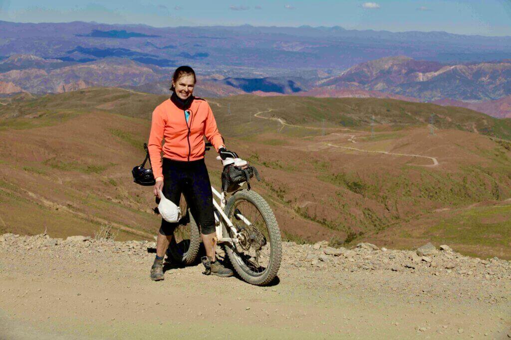
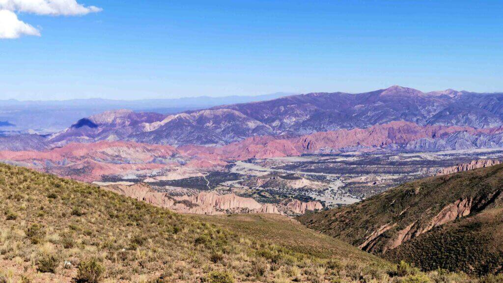

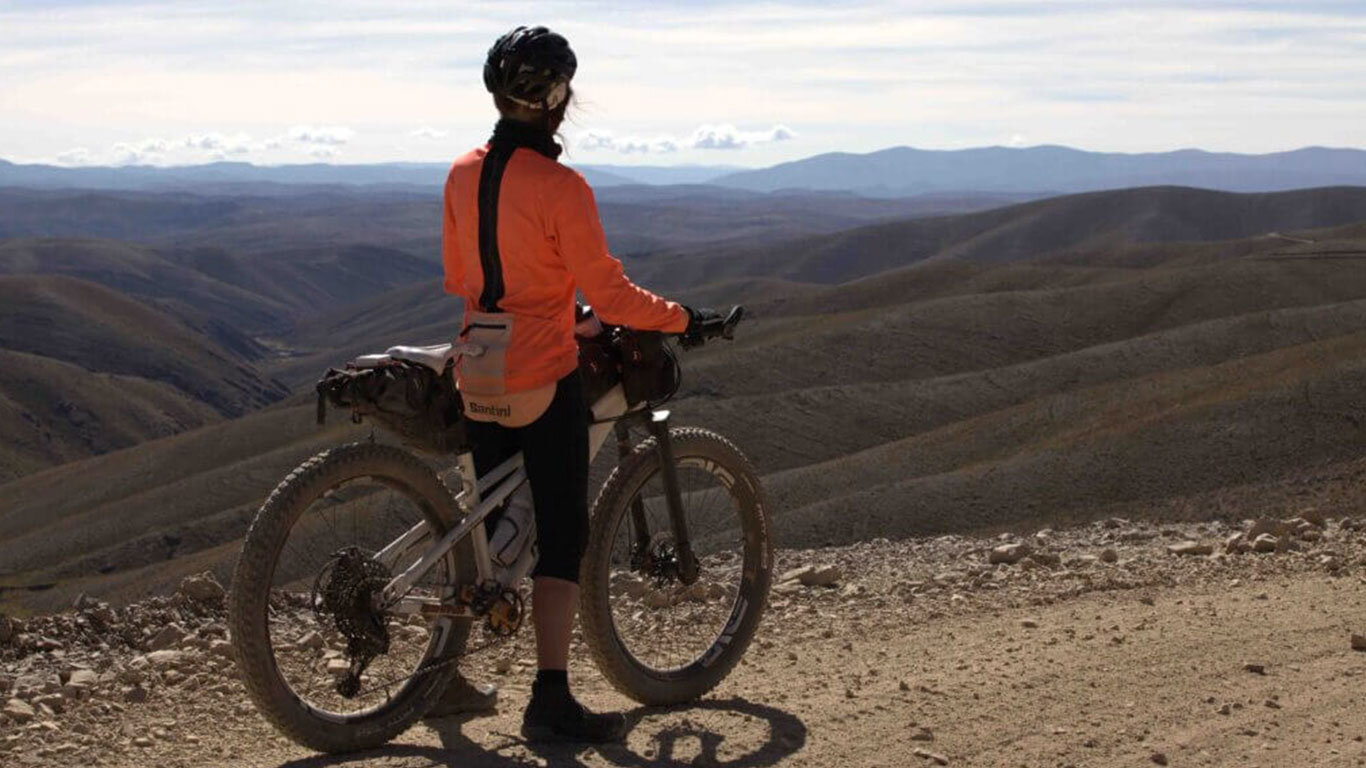
The views at the summit looking over the Tupiza landscape made it worth it, along with a 26km descent – one of the most spectacular I have ever done.
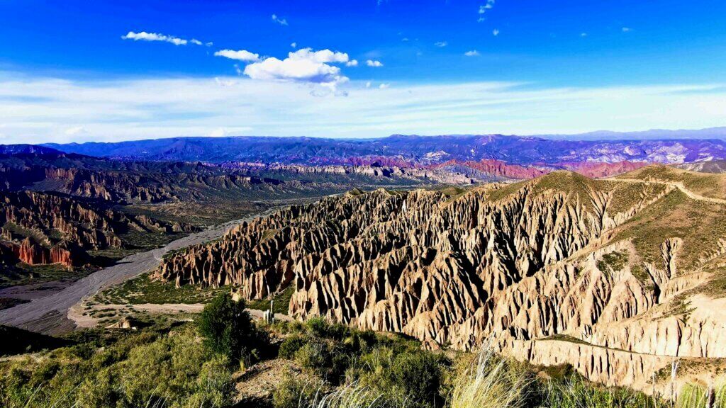
The final climb and descent was filmed for the cycling app, FulGaz, so I hope to share the experience with indoor cyclists some time this year.
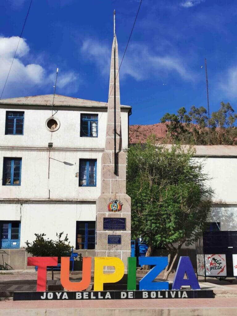
Tupiza was also a pleasant surprise. It is a vibrant city of 50,000 people set amongst the towering red sandstone peaks and spires. Entering the streets, I was immediately mixing it with the tuk-tuks (known as toritos in Bolivia). It seems to have a whole different vibe to the other cities and at an elevation of just 3000m, the Tupiza River valley were green and fertile for livestock. Tupiza is an agricultural, railway and trade centre, with important mining districts in its vicinity.
In 1908 the infamous American outlaws Butch Cassidy and the Sundance Kid carried out their last robberies in Tupiza. After holding up a payroll train, both were cornered by a small platoon of the Bolivian Army in the mining town of San Vicente, 90km away. The story of Butch Cassidy and the Sundance Kid was made famous by the film of the same name, starring Paul Newman and Robert Redford.
