Days: 86-93
Dates: 4th – 11th September
Newman to Mount Augustus
Distance: 731 km
Total Distance 2023: 6357 km
Total Distance (2021 + 2023): 7885 km
Originally, I had planned to take two days off in Newman, but because we lost three weeks due to the vehicle breakdown earlier in the expedition, I had to reduce the contingency days in my schedule to ensure I had a chance of finishing the journey on time. With only one day off the bike in Newman, everything felt rather rushed.
I had meticulously planned the next section from Newman to Mount Augustus, but there was an issue with that route. Although Google showed that my plan was feasible, it transpired that the section through the decommissioned West Angelas Mine, which is owned by Rio Tinto, was blocked. Having unsuccessfully tried to connect with the relevant people at Rio Tinto to ask for permission, I started searching for alternative routes. However, all alternative routes on Google Maps were many hundreds of kilometres longer, and I could not afford to take extra days.
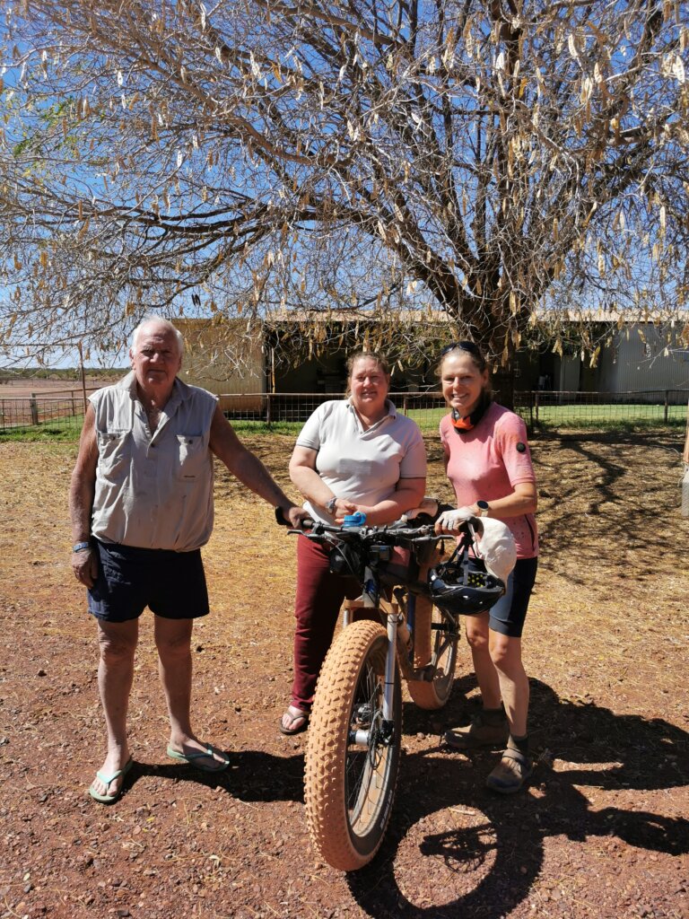
Suzanne at Turee Creek Station was extremely helpful. It turned out that, with permission from three neighbouring stations along our route, there would be an excellent shortcut. The other option was much further. Suzanne could get us through the first two—Prairie Downs and her own station, Turee Creek—but Minina was uncertain. I decided to set off anyway and take a punt that Minina Station would let us through.
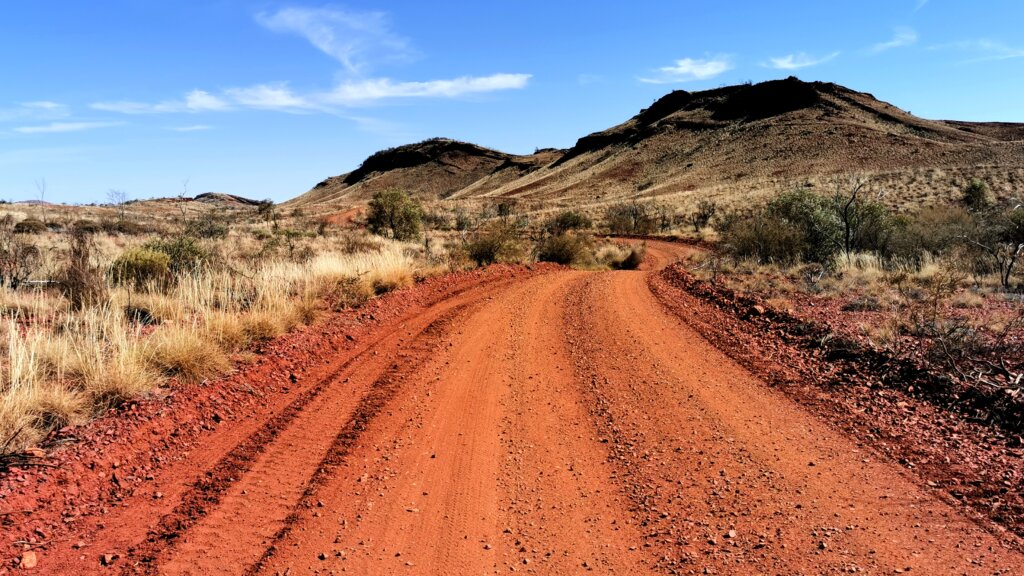
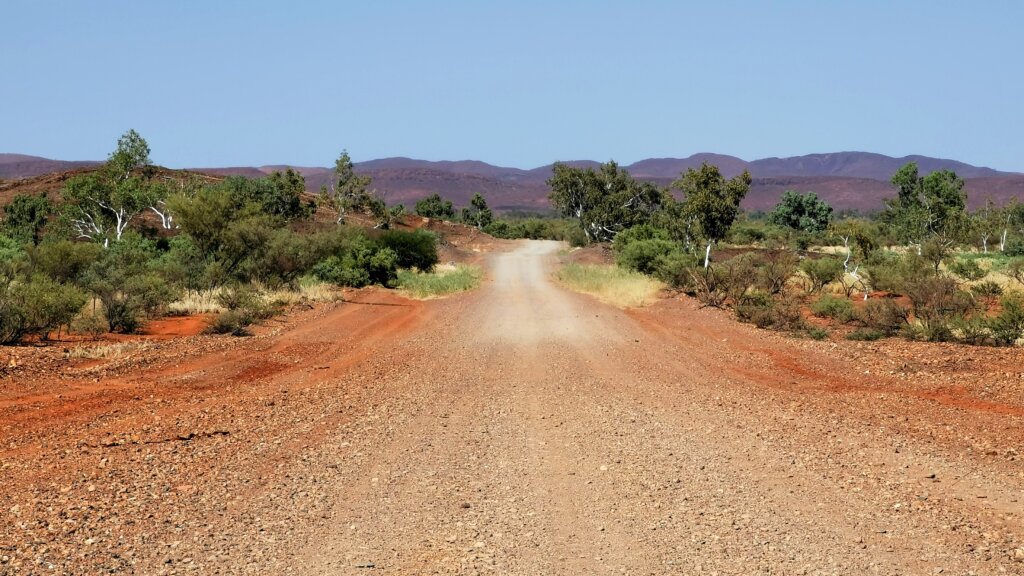
Suzanne directed us through the shortcut that saved us about 40 km, passing through Prairie Downs. The route out of Newman was complex and rough in places, with lots of stones. After 20 km, we came to a locked gate for which Suzanne had given us the code. Once passed the gate, the road surface improved significantly.
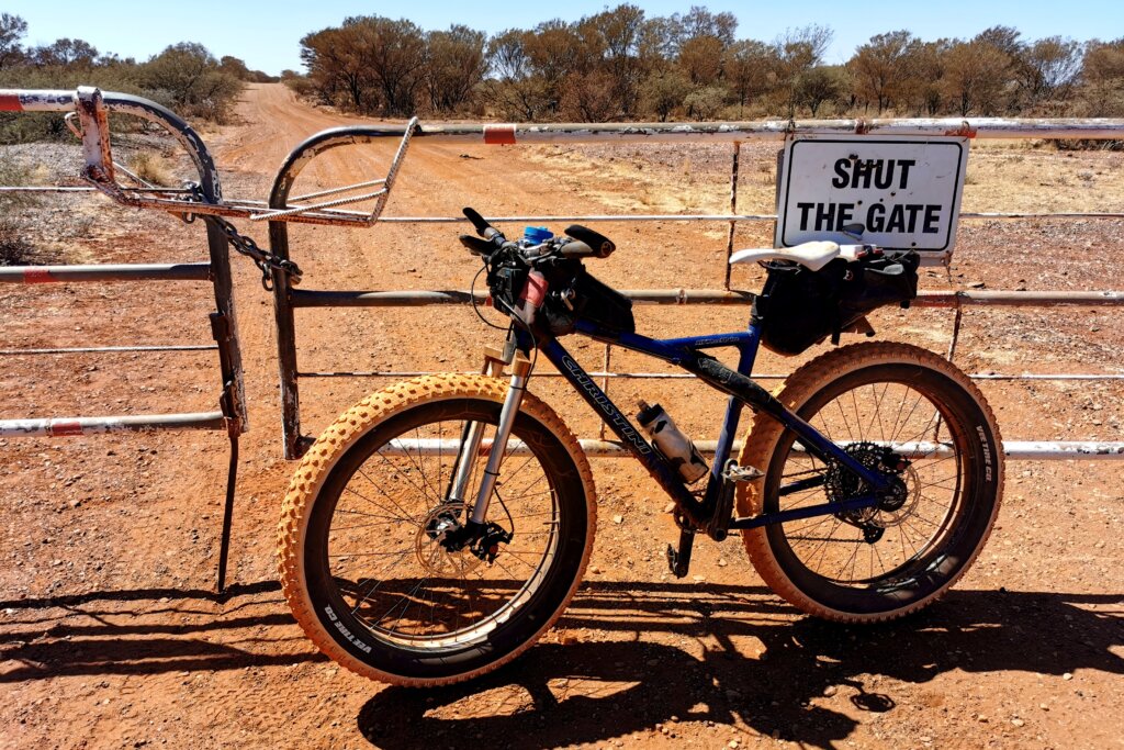
After 70 km, we reached the entrance to the Prairie Downs homestead and turned right onto a well-maintained shire road in the direction of the Turee Creek homestead.
Suzanne had tried to contact the owners of Minina Station on our behalf, but on arriving at Turee Creek, I learned that we could not get permission to cross Minina Station. It is owned and operated by a husband-and-wife team who were understaffed and in the middle of mustering; they were not prepared to open their series of locked gates for us.
We stayed in dongas at the Turee Creek homestead, where Suzanne pulled out the station maps to explain the alternative route—our only option for moving forward, passing through various station tracks on the way to Paraburdoo. This was a significant detour from my planned route, adding a couple of extra days of cycling.
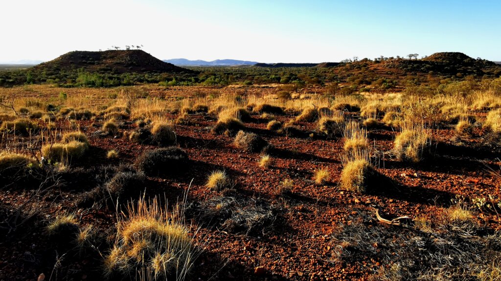
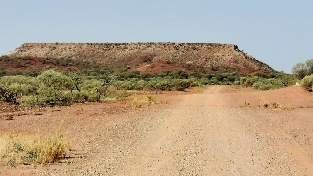
Yet again, an unplanned adventure turned out to be one of the most memorable experiences of the journey. It was a privilege to explore this spectacular region of eastern Pilbara, closely aligned to the Tropic of Capricorn. Turee Creek Station covers about 670,000 acres and includes two blocks separated by crown land. Even though the track between the two blocks was well maintained by the station and mining exploration activities, it was not marked on any maps. The only way to find it was on a satellite map and with Suzanne’s directions.
DAY 88 | 114 KM
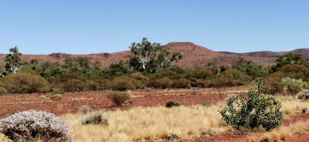
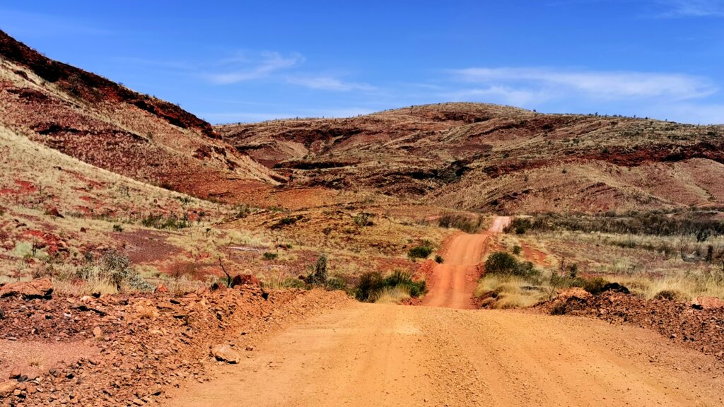
After leaving Turee Creek homestead, I cycled alongside the creek and the Kunderong Range for 114 km, before heading north across the crown land to the second block. Towards the end of the day, I entered some spectacular hilly terrain that Suzanne had mentioned would be tough going. We camped beside a dry creek bed.
DAY 89 | 95 KM
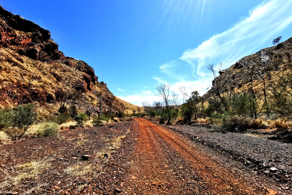
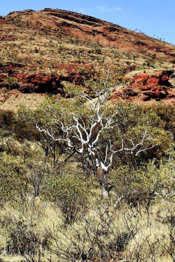
According to Suzanne, the first 62 km of the next day were going to be challenging. After crossing a wide, dry, stony creek bed, I entered a region of purple ironstone hills. The open landscape was clad with spinifex grass—pretty much the only type of grass hardy enough to survive the extreme heat eminating from the ground for many months of the year. The road traversed the range, and I struggled to pedal up some very steep inclines.
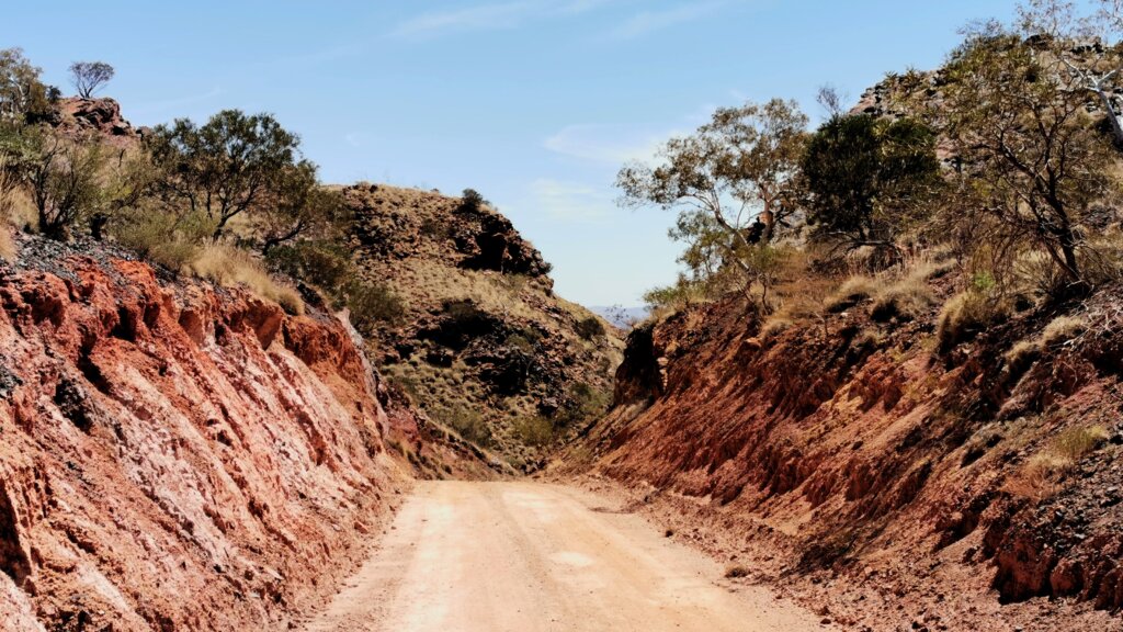
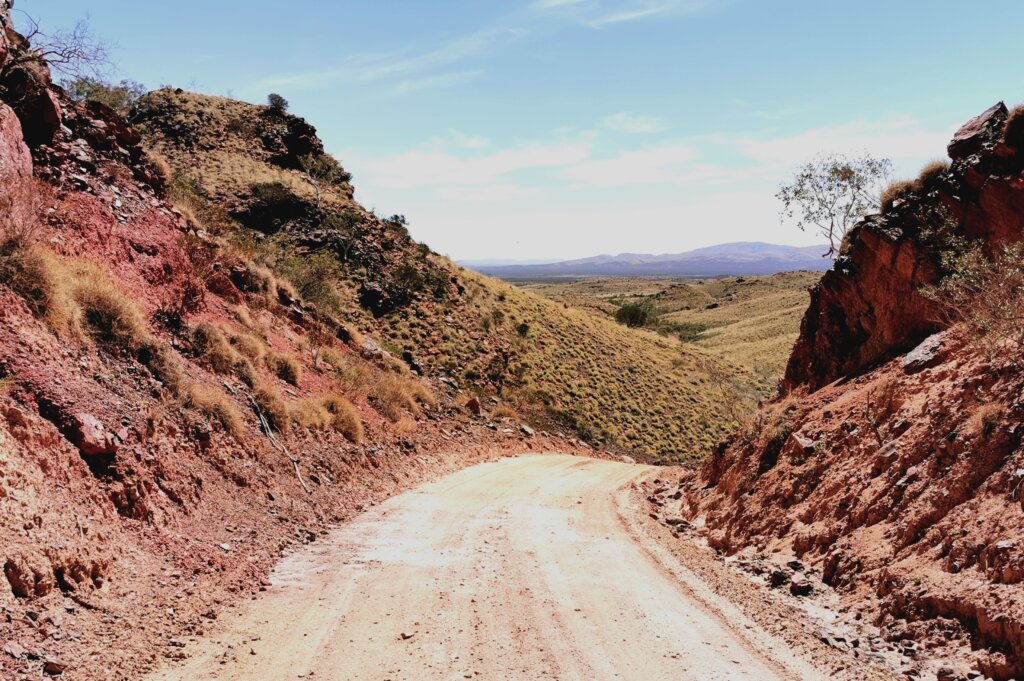
After the morning break (after 31 km), I was confronted with the main pass. The track doesn’t have an official name, but Suzanne said they usually refer to it as “The Cut.” This is because a lot of effort has been made to grade the road and create a deep cutting at the pass to make it drivable. The descent from the pass was exceptionally steep, so I was careful to keep the brakes depressed to control it.
The shortest route to Paraburdoo was through the mine site, but Suzanne had tried unsuccessfully to get permission and an escort. This meant that we had to cycle/drive an extra 34 km around it.
Paraburdoo is another young mining town, this time owned by Rio Tinto.
DAY 90 | 119 KM
The route out of Paraburdoo was indirect but, at least I had a sealed road for most of the day. First, I headed north towards Tom Price, and then northwest towards Nanutarra, before reaching the turn-off to the Ashburton Downs-Meekatharra Road.
I had entered the Ashburton River basin, one of the five large ephemeral river systems that divide the Pilbara region into sections resembling the segments of an orange (the others being the De Grey, Fortescue, Gascoyne and Murchison rivers).
The quality of the Ashburton Downs-Meekatharra Road was pretty smooth, and I made good progress over the gravel.
The weather on the last couple of days en route to Mount Augustus was very warm: 36 degrees Celsius in the shade with a hot northerly wind.
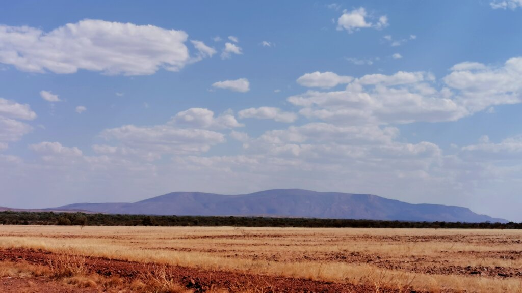
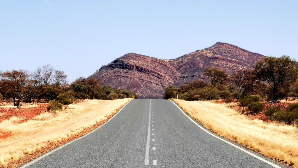
It was the last day until Mount Augustus—only another 80 km away. I arrived excited to climb the giant monocline, the world’s largest rock (2.5 times the size of Uluru).
Eight days to go, and I’m getting enthusiastic about finishing!