Dates: 23rd – 28th July
Distance – 401 km
Total Distance 2023: 2896 km
Total distance (2021/23) – 4424 km
On hearing the news that the delay was going to be extended for most likely another six days, while the correct vehicle part was being shipped from the USA, I decided to do an extra route. The plan, to cycle from William Creek to Dalhousie Springs in Witjira National Park, I thought would add an extra dimension to the journey so far.
The original plan from Birdsville was to cross the Simpson Desert via Madigan Line and then ride the course of the Finke River from the town of Finke/Apatula to where it dissipates into the sands of the Simpson Desert, coming out at Dalhousie Springs on the western fringe of the desert.
I learned from Don Rowlands, the Wangkangurru elder we met in Birdsville, that Dalhousie Springs is important in his culture and particularly, it is integral in the Two Boys Dreaming story. This story articulates the location and significance of a string of native wells from Dalhousie Springs to Birdsville, making it possible for his people, for centuries, to live, even thrive across the seemingly barren desert. By learning the Two Boys Dreaming story as a child, Don knew not only the position of every well but also how his people managed the land and resources connected to each life-giving well – from season to season, in drought and the wet years.
Not being able to cross the desert as I had planned, to reach Dalhousie Springs (due to the unseasonal flooding of Eyre Creek), and instead having cycled all the way from Birdsville south to Port Augusta, then back up through Woomera and along the Oodnadatta Track, I thought a ride from William Creek to Dalhousie Springs would complete that episode of the expedition.
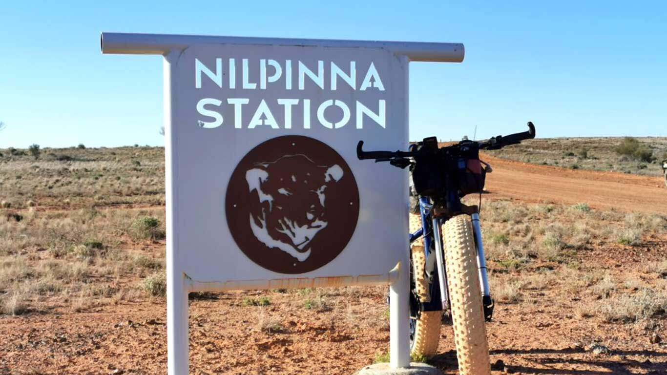
DAY 43 | WILLIAM CREEK TO NILPINNA STATION | 71 KM
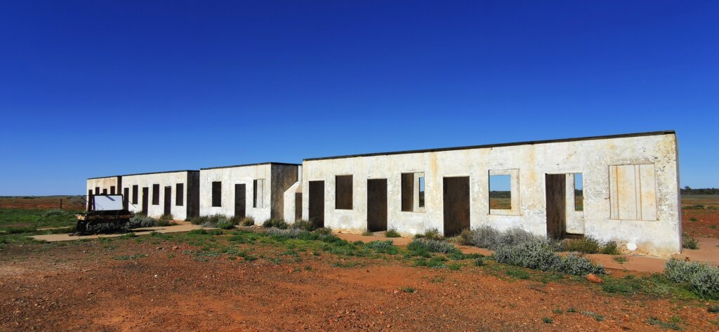
From Coober Pedy, Russell drove us 160km back to William Creek, delivering me to the junction of the Oodnadatta Track and William Creek Road to rejoin the line of my journey. Starting at midday, the aim was to reach Nilpinna Station, the home of Trevor and Helen Williams (Williams Cattle Company). In the two weeks since I cycled through the area, the land had dried up significantly.
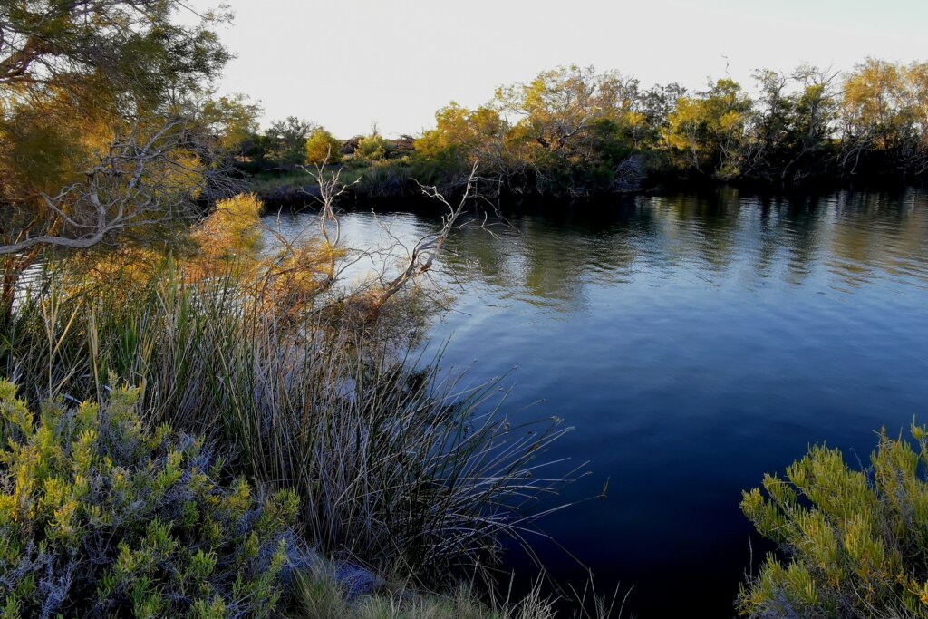
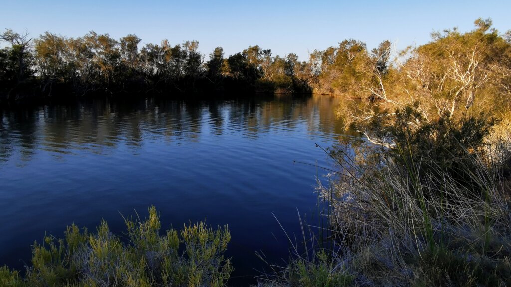
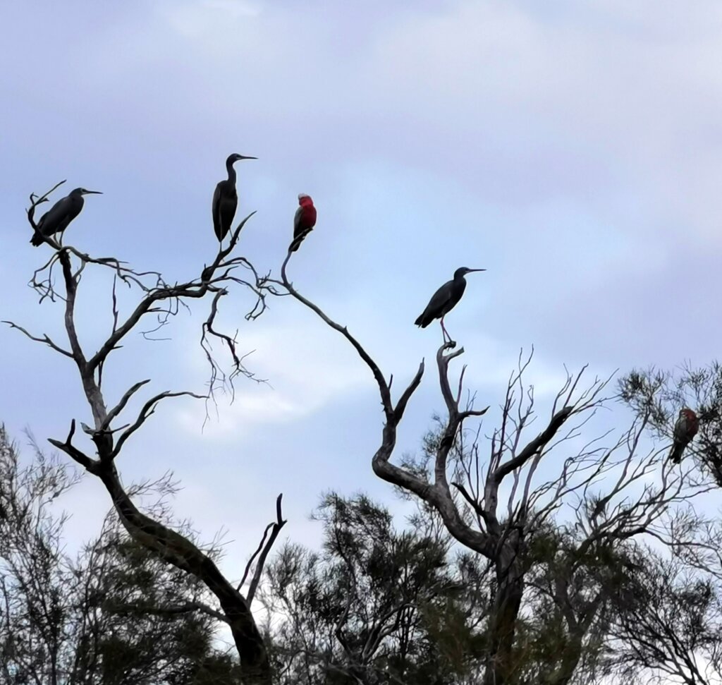
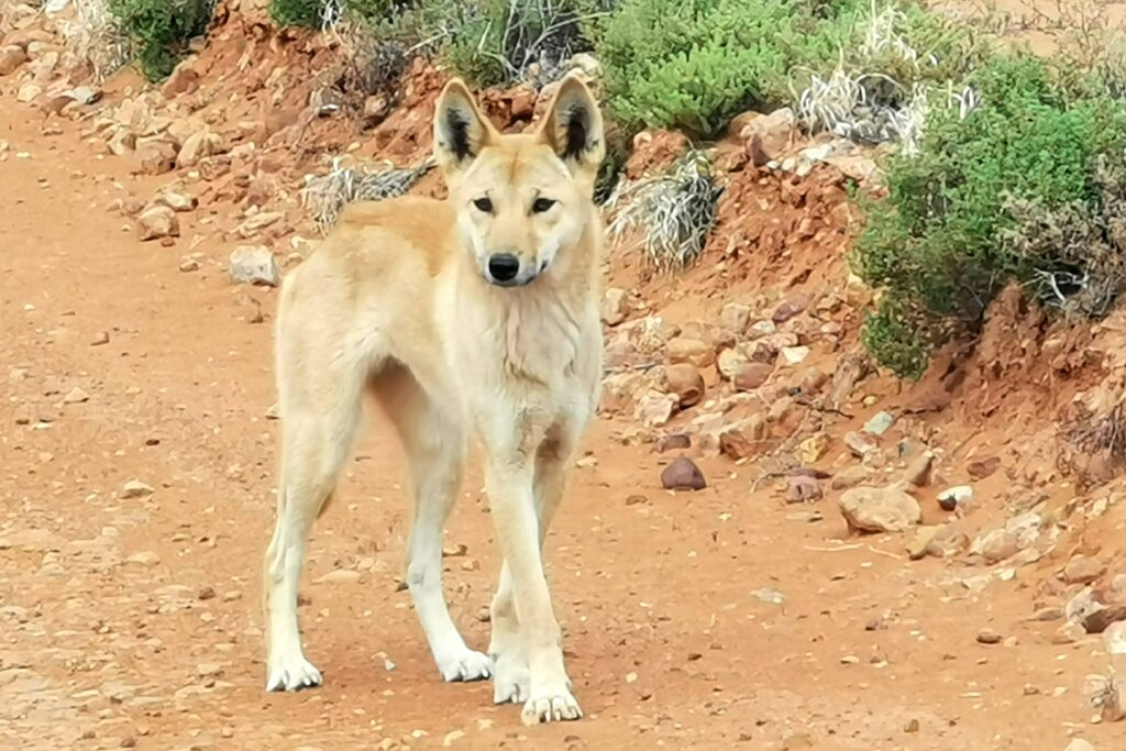
It was great to be free again, cycling along the Oodnadatta Track, a good quality unsealed road, with a tail wind! I was again cycling through Anna Creek Station land. The landscape was a mix of sand hill country and gibber plain with the occasional breakaway. Nearing Nilpinna, I crossed some very attractive tree-lined dry creeks with lots of birdlife.
Diverting to Nilpinna Homestead, eight kilometres off the Oodnadatta Track, the landscape was open and covered with dark red-black gibber stones, the Davenport Range a backdrop in the distance.
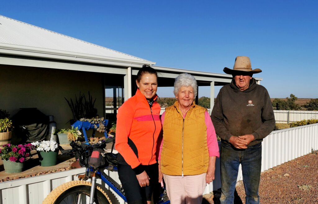
On arrival we were welcomed by Trevor and Helen whom we had met previously at Anna Creek Station and William Creek and were treated like family! We were made feel at home, Helen cooking up a storm for both dinner and breakfast. Before leaving I was taken out to the stores room where Trevor sliced off a huge chunk of organic beef and Helen loaded us up with as much food as we could use – not to mention a large ice cream container of (legendary) homemade biscuits.
DAY 44 | NILPINNA STATION TO OODNADATTA | 138 KM
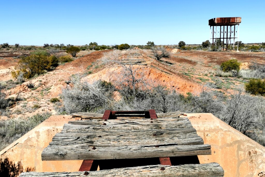
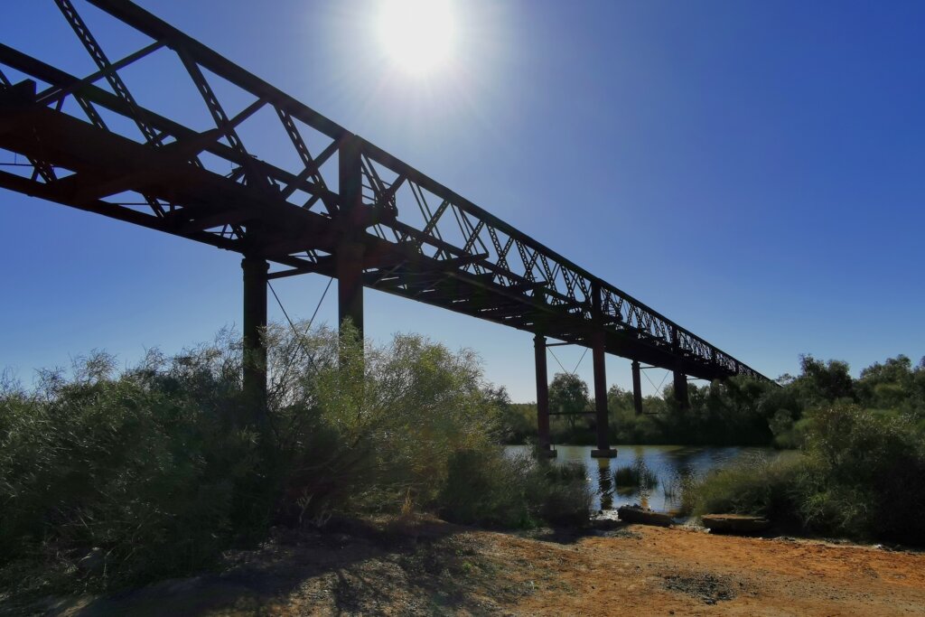
The Oodnadatta Track is never far from the Old Ghan Railway line and we found ourselves regularly diverting off the road to explore old bridges and sidings.
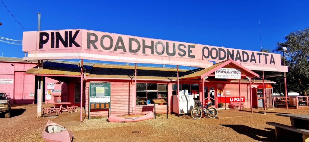
I seemed to be moving pretty well, thanks to some wind assistance and perhaps the extra slice of Helen’s cheesecake and biscuits I’d eaten the night before. I decided to push all the way to Oodnadatta and arrived at the famous Pink Roadhouse right on sunset at 6pm.
DAY 45 | OODNADATTA TO HAMILTON STATION (BUSH CAMP) | 103 KM
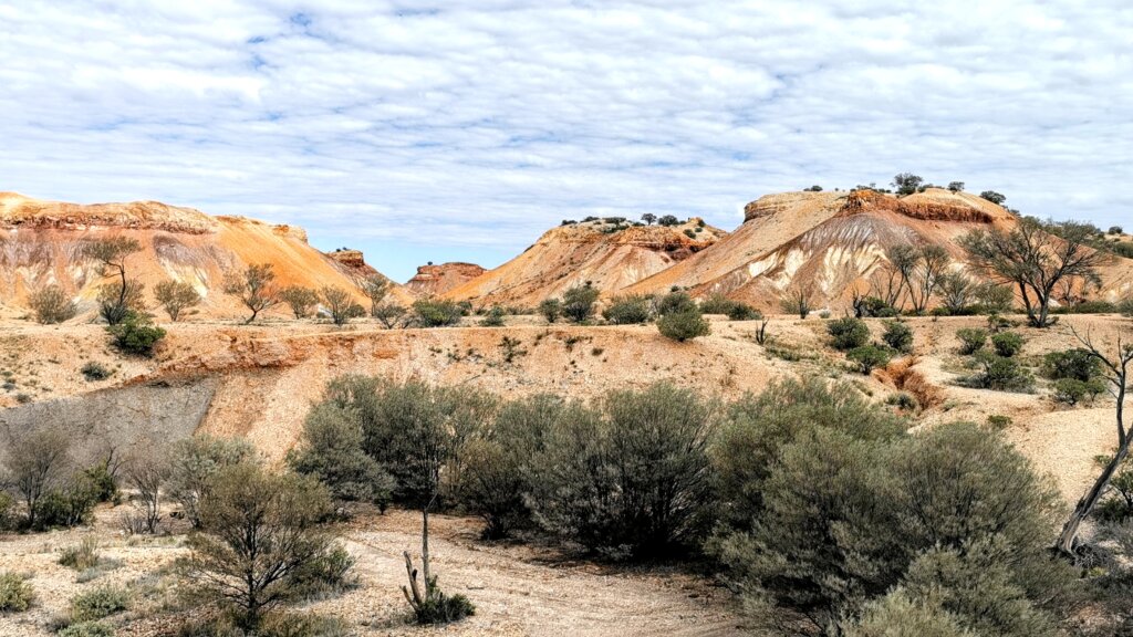
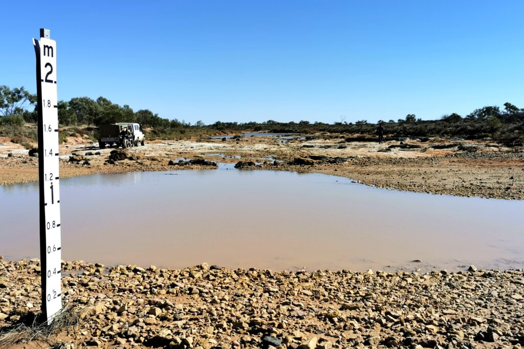
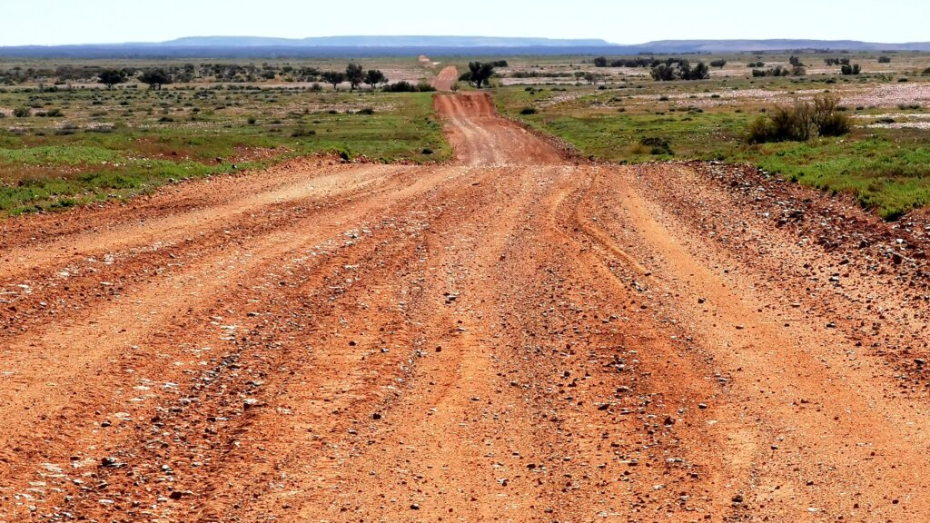
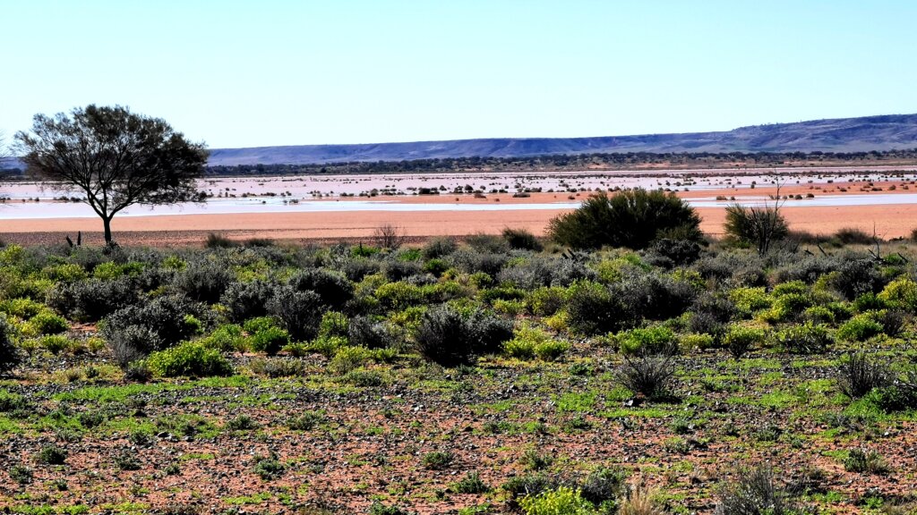
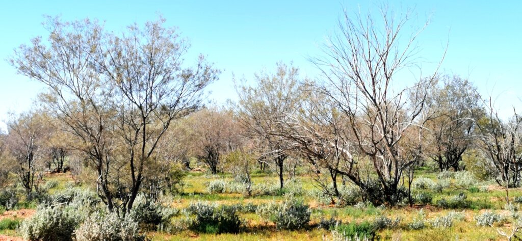
Setting off from the Pink Roadhouse, I turned off the well-maintained, relatively busy Oodnadatta Track and on to the much rougher, quieter Mt Dare Road after 17km. Cycling it required much more effort to deal with a combination of heavy corrugations, gibber stones, sand patches, muddy creek crossings and wet clay. Entering Mt Sarah, another Williams property, the landscape was so green with succulent plants and colourful flowers.
The final section of the day’s ride, across the eastern fringe of the Pedirka Desert, was a rollercoaster as I bisected the sand hills.
We camped near the Hamilton Station boundary – a beautiful bush camp apart from the tedious presence of mosquitoes.
DAY 46 | HAMILTON STATION TO DALHOUSIE SPRINGS CAMPSITE | 84km
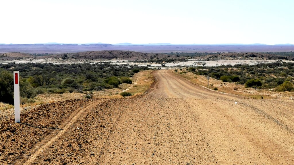
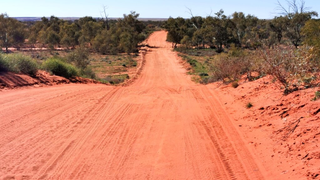
Just after the Hamilton Station homestead I turned onto the Dalhousie Springs PAR (public access track), and had to deal with a significant depreciation in road quality. The change in direction meant I had to push into a head-sidewind across the gibber plains and sand hills to Pedirka Station, another ghost of the Old Ghan.
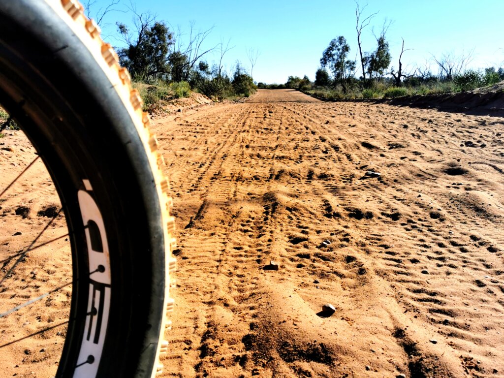
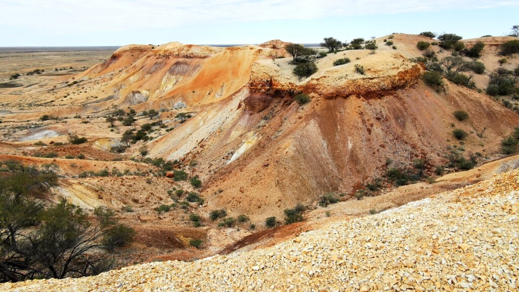
I loved this day’s ride – the difficult cycling conditions somehow alter my perspective of the landscape, like I become more closely bonded with it – sand ridge country with verdant bush in between the dunes…the loose gibber stones are no fun though.
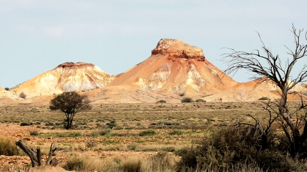
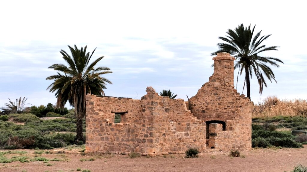
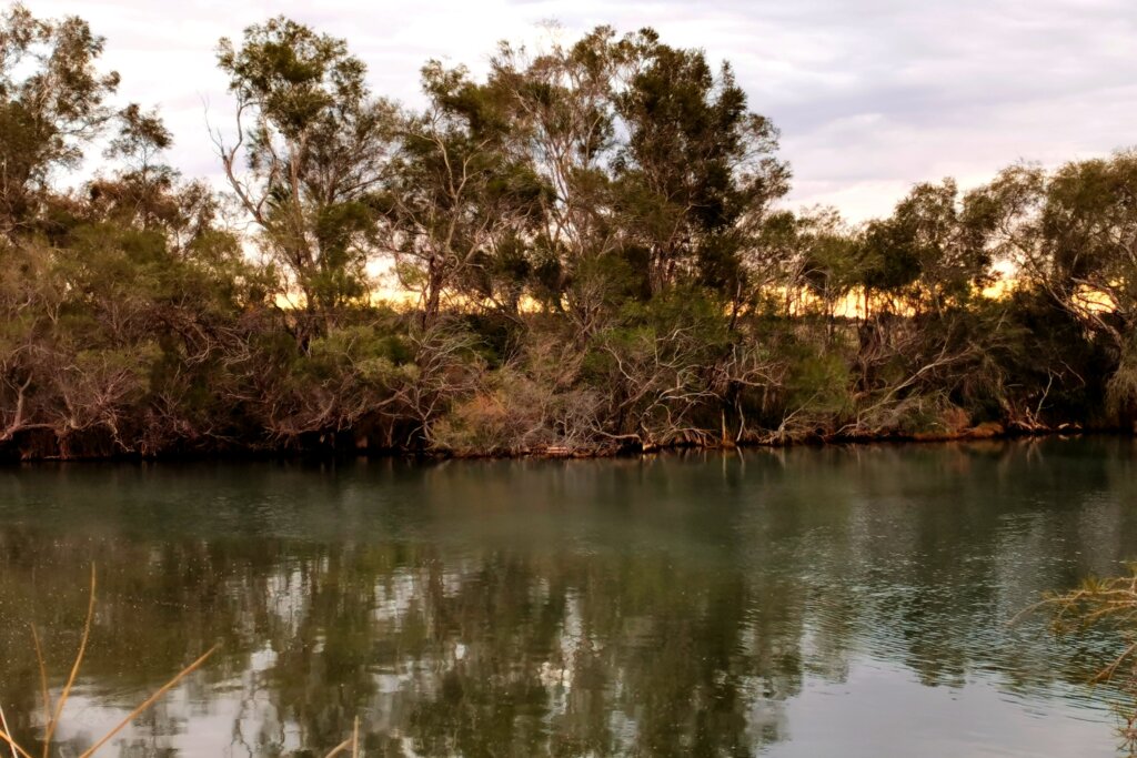
Reaching Witjira National Park, the landscape was incredible, vast hills, open green plains, breakaways. 12km from the mound springs I arrived at Dalhousie Homestead, which when built in the 1870s, was the most remote station in the northeast corner of South Australia. The location was chosen because it was beside one of the 148 mound springs in the area and with an average rainfall of 150mm and a high evaporation rate, the water source was vital for everyone’s survival – the settlers as well as the Lower Southern Arrernte and Wangkangurru people who had lived there for at least 15,000 years before that.
Life was exceptionally harsh – people were born and died there, evidenced by many unmarked graves. Over the years, the land was used to graze and produce cattle, sheep, goats, camels and horses as well as experimental crops of dates and lucerne. By the 1930s, the management of the station was taken over by the Aboriginal people. The South Australian government bought the land in 1985 when it became Witjira National Park.
Arriving at Dalhousie Springs I was excited to experience this famous and culturally important mound spring. The three of us took a dip in its thermal waters, which in the main spring flow up from the Great Artesian Basin at 38 Celsius and 160 litres a second. Tiny fish nibble away, essentially “cleaning” us. The only downside was that the place was thick with mosquitoes – we could not sit and relax.
Despite the insects, Dalhousie Springs definitely seemed a fitting end to this section of the expedition, and a worthwhile addition to the route.
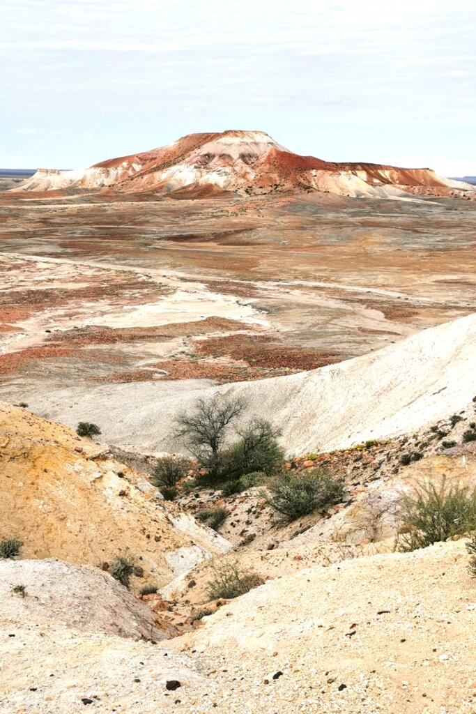
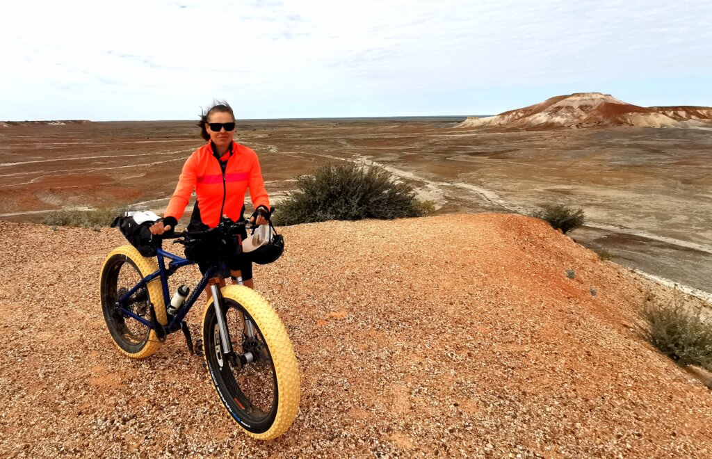
DAYS 47/48 | PAINTED DESERT | 5 KM
We drove back to Oodnadatta and then out towards the Painted Desert, also known as the Arckaringa Hills. There we did some promotional filming. It is one of the most spectacular short rides and treks I have done!