Days 63-69
Dates: 12th – 18th August
Distance: 684 km
Total Distance 2023: 4514 km
Total Distance (2021 + 2023): 6042 km
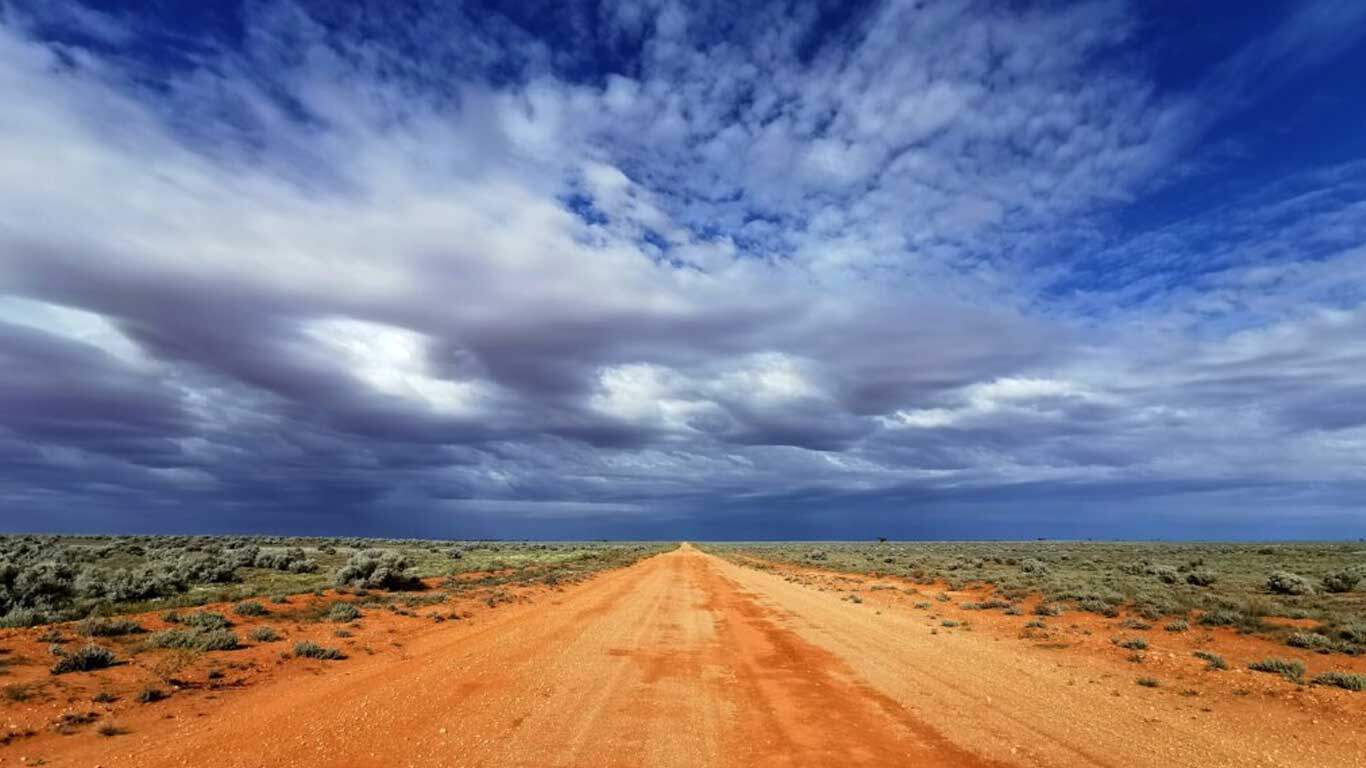
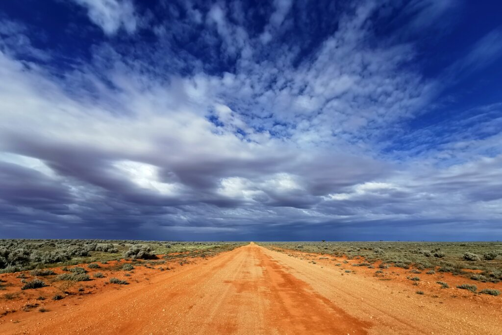
Tracking map: https://z6z.co/breaking-the-cycle-australia/
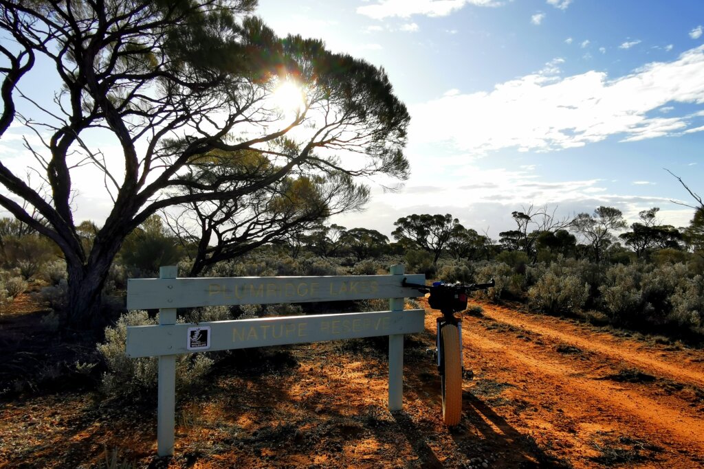
From Tjuntjuntjara the aim was to reach Laverton and Leonora in the northern goldfields (Western Australia). The route taken isn’t a usual one for drivers and there were a lot of unknowns regarding the terrain and state of the roads.
DAY 63 – 106 KM
I was sad to leave Tjuntjuntjara as there was still much more to see and learn. I set off on the main road linking Tjuntjuntjara to Kalgoorlie, the nearest major centre over 650km away. Accordingly, the state of the road is much better – not too many corrugations and rough sections. I was moving along quite well but towards the end of the day the wind switched direction and I was forced to push into a powerful south-westerly breeze. I had been aiming for the junction between the Tjuntjuntjara road and the Connie Sue Highway, but had to settle 15km short because of the extra wind resistance. There was little shelter from the wind. The only protection was a small stand of skeletal trees. No campfire that night.
DAY 64 – 109 KM
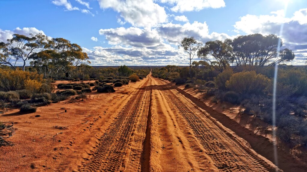
Fortunately the wind died down overnight. I made short work of the last 15km of the Tjuntjuntjara Road and turned south on to the Connie Sue Highway, another of Len Beadell’s road network, this one named after one of his daughters, Connie Sue. The section of the Connie Sue Highway I followed had been upgraded as a part of the route from Tjuntjuntjara to Kalgoorlie and was a decent gravel road compared to the rest of the Connie Sue, which is essentially two wheel ruts. I enjoyed a tailwind to begin with, but then the skies darkened with some heavy rainclouds, the wind switched to a headwind, and the Heavens opened just as I caught up with the vehicles for the first break of the day.
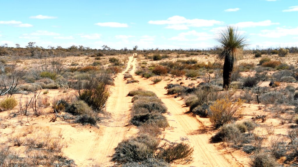
The rain shower was fairly brief, as was my ride along the Connie Sue Highway. After 39km I turned to the west on a minor track, The Rason Lake Road. The track was just two wheel ruts, winding amongst the trees and scrub towards Plumridge Lakes Conservation Reserve.
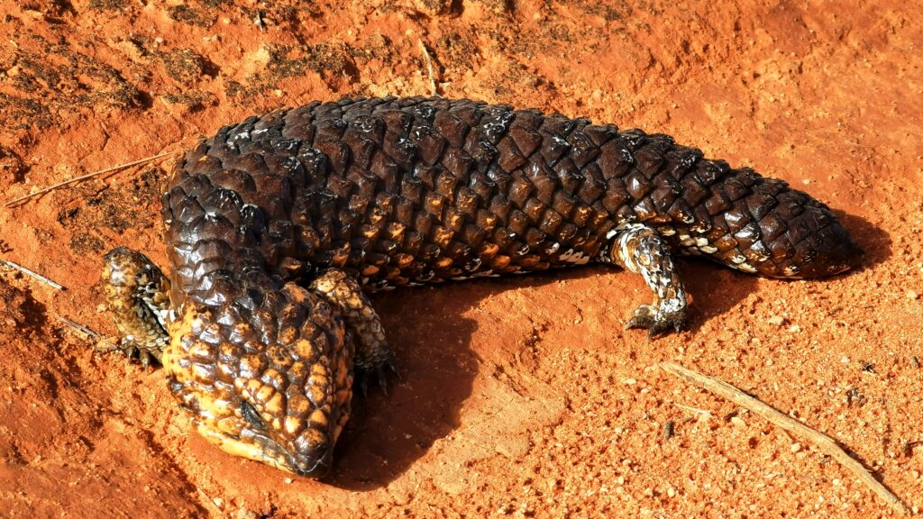
A bobtail goanna (blue-tongued skink) warming up in the sun on the track
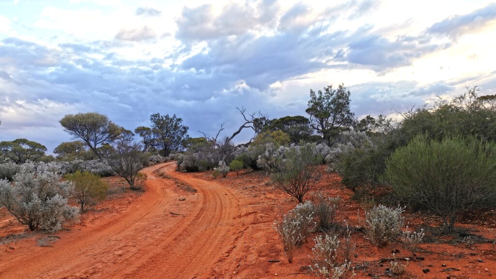
This was one of my favourite tracks so far. The track snaked its way through the bush with quite a few wash-aways and where I constantly swiped the bushes that encroached over the track. As vehicles couldn’t travel fast here, there were no corrugations – pure pleasure. The track hadn’t been used much recently and when I cycled ahead of the vehicles, I broke through so many spiders’ webs that spanned the track, it felt like I was being wrapped in a cocoon!
DAY 65 – 93 KM
Unfortunately it rained quite hard overnight and I awoke in a very damp sleeping bag – my tent is not waterproof anymore. At least the track was cycleable even if the wet sand felt sticky, making it heavy going. The road became a lot straighter and with that the corrugations reappeared.
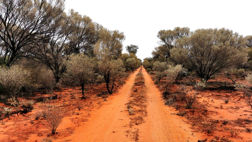
After about 25km, I started to increase in elevation and after 30km, I turned off the Rason Lake Road onto an even more minor track, the Plumridge Lakes Road.
The first section of this track bisected sand dune country; I crossed some soft ridges but the worst of it were the corrugations. They weren’t like the monsters of the Anne Beadell Highway, but I could not escape the bumps and therefore could not get any momentum under my tyres.
It was pretty slow going and our lunch break was amongst white sand ridges that could only support small shrubs and bushes like banksias, grass trees and other vegetation that can survive in poor sandy soil. A fire had swept through the countryside not so long ago and there was little protection from the wind.
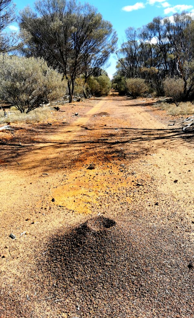
Towards the end of the day, I passed some mining exploration camps. The roads was more chopped up from the extra traffic and very sandy in places. The recent rain had caused many large puddles en route; many I could avoid but some I had to cycle through (not good for the longevity of the bike parts).
DAY 66 – 92 KM
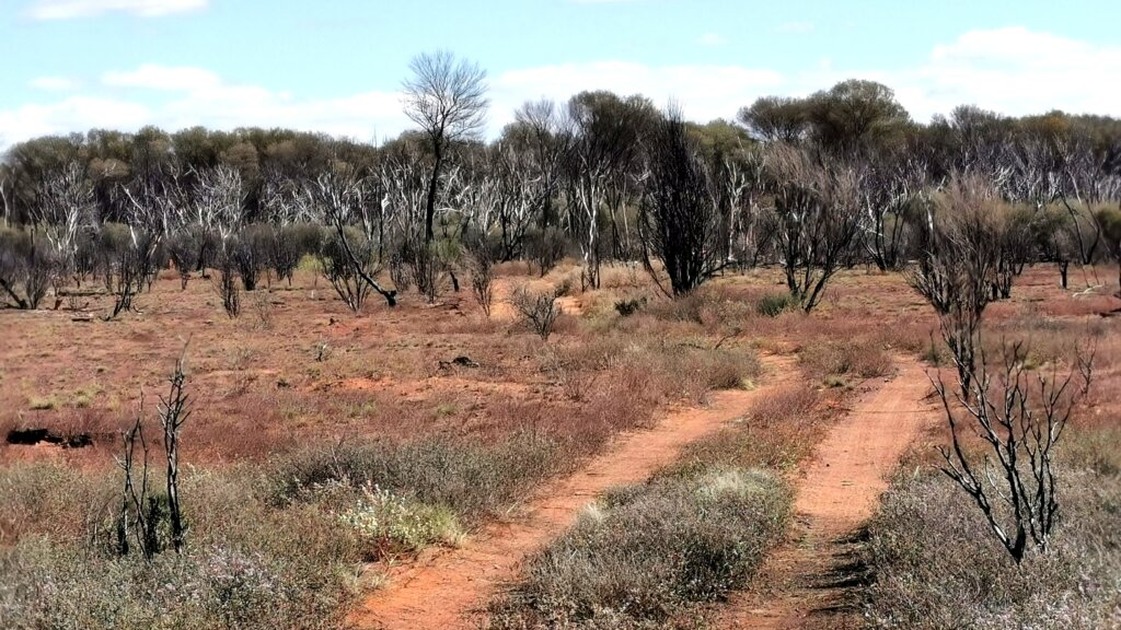
Another damp morning, but at least it was sunny. Reducing the tyre pressure before I started cycling was a good move as the first 23km was deep sand dunes and very heavy going. Without the fatbike, this section would have taken up much of the day. The track ended abruptly when I reached a mining road for the Tropicana gold mine. The road was not on our maps and initially we assumed it had been upgraded. But it seemed to be heading in the wrong direction and after a few kilometres, the team realised we needed to find the continuation of the sandy track we had been following. Rick worked out where we needed to go and after a quick tea break, we were following another little-used track, crossing sandy ridges and vast plains which had been burnt, possibly by a wildfire. There was virtually no natural bush that had not been scorched, but in nearly all cases, the trees were sprouting again from the roots. I had to bushwhack across some of the terrain as the track was pretty faint. The section of natural bush that had escaped the fire was a delight to cycle through.
A campsite with a great view, high above the Lake Miningwal region.
DAY 67 – 96 KM
This area has recently received a lot of rain – any tyre tracks had been washed away as torrents of water had flowed down the track and the lower points were still wet with large puddles extending across its full width.
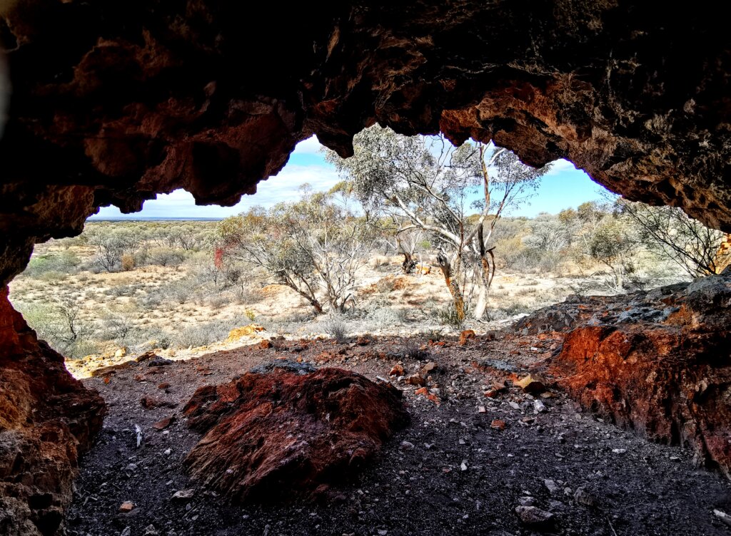
One of the highlights of the day was a crumbling breakaway with a cave serving as a great shelter and lookout. I spent some time off the bike to explore the hill and cave.
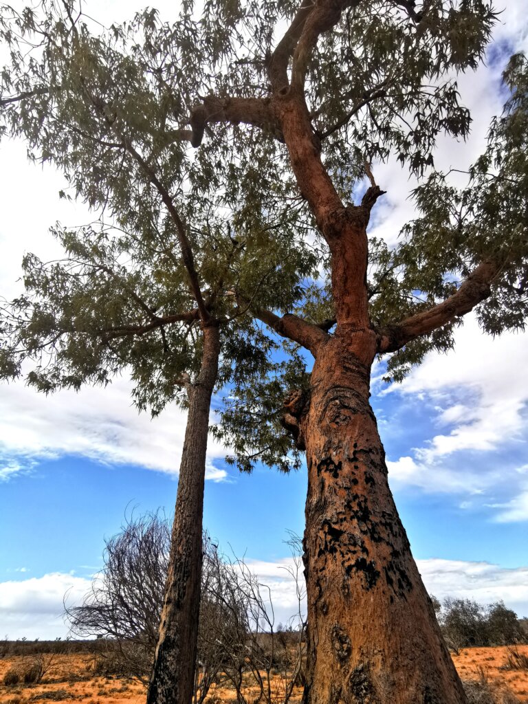
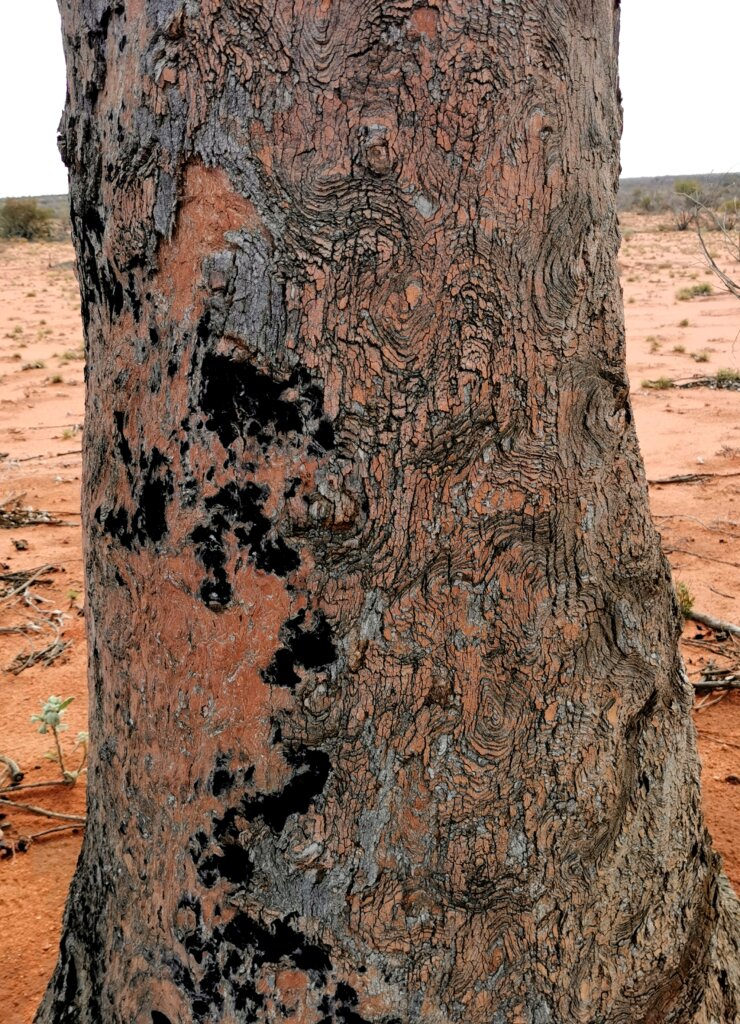
Desert kurrajong trees were virtually the last standing tall and green in another recently burnt area. On closer inspection, one side of each trunk was scorched while the other was undamaged.
We stopped beside some mining ruins at lunch, but 3km further along we again hit another broad mining road. This time the team established that the mining road was the route we needed to take as it tracked the course of the old road. It wasn’t such an interesting ride on the broad gravel surface into a side-headwind, but I made up for lost time which gave me only 60-odd kilometres to do the next day into Laverton.
DAY 68 – 63 KM
I could relax knowing I just had a half day ahead of me, following better quality gravel roads into Laverton. I was now entering gold mining country and from the road I could see many old abandoned gold mines, as well as nickel mining operations.
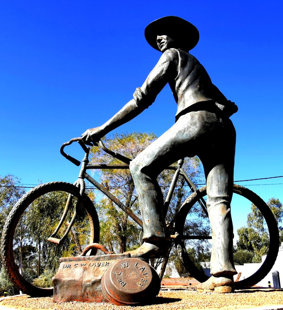
Originally called British Flag when gold was discovered in 1896, the town received its name from explorer and politician, John Forrest, who named the town in honour of Dr. Charles Laver. Laver, who cycled from Coolgardie to British Flag when gold was discovered there and returned with a large nugget, was credited with finding a significant amount of finance for the development of the gold mining venture and the settlement.
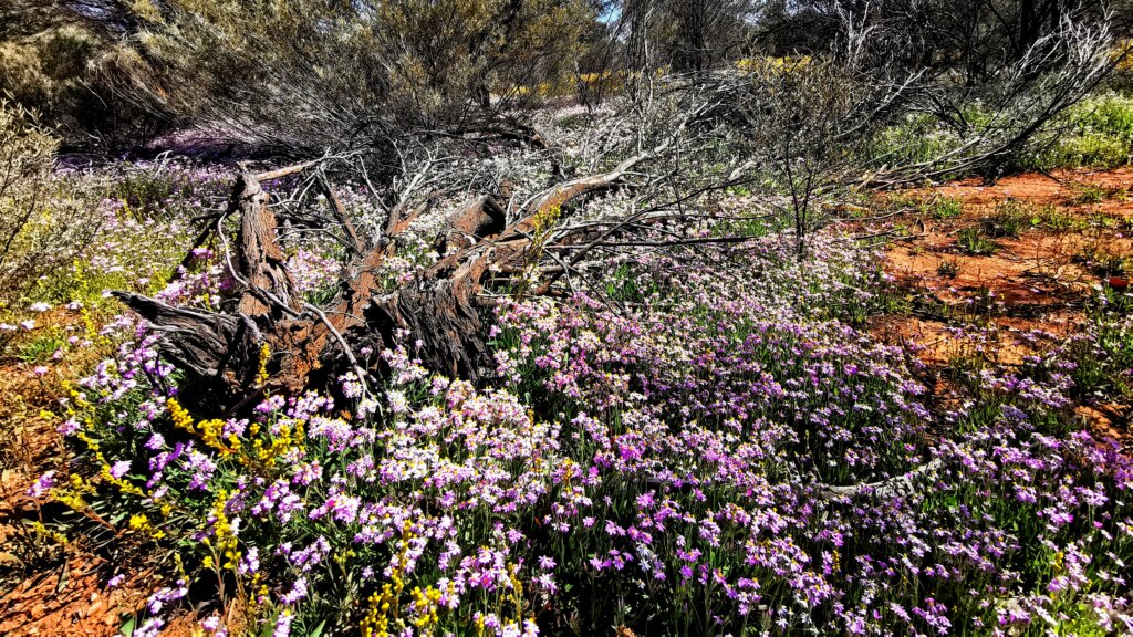
DAY 69 – LAVERTON TO LEONORA – 125 KM
I was pretty tired when I arrived in Laverton and a little apprehensive about having to cover the full distance from Laverton to Leonora in a day. However, the easy day I had into Laverton was enough for me to recover sufficiently. A enjoyed cycling past vibrant patches of colourful wildflowers at times along the roadside. I made the distance comfortably on a quality tarmac road with a pretty advantageous tail wind for much of the day.