Dates – 22nd – 26th June | Total distance 1386 km
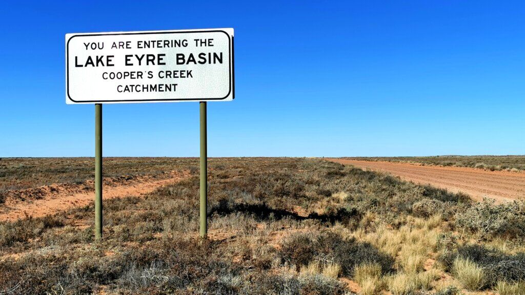
The Birdsville Track – Birdsville to Marree – 527km
The Birdsville Track was opened in the 1860s to walk cattle from northern Queensland and the Northern Territory to the nearest railhead in Port Augusta, which was later moved to Marree. Percy Burt was the pioneering drover credited with establishing the track. Burt set up a store at Diamantina Crossing, (Birdsville), and used the path to bring cattle out of the Channel Country to the railhead at Marree that was completed in 1883. Using this stock route was at least 1,000 km shorter than the alternative path to Brisbane. It crosses three deserts – the Sturt Stoney, Strzelecki and the Tirari deserts. By 1916 bores were sunk accessing the Great Artesian Basin about every 40km to make droving cattle and sheep easier.
DAY 12 | 120 KM
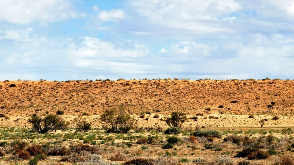
It rained from about 3am – mostly soft, light rain – enough to make everything wet. I set off ahead of the team, while they paid one last visit to Don Rowlands for one final interview. This time, I had a raging tailwind and had covered over 50km before any of the team caught me. After 85km, just as I left the parallel sand dune country and entered the gibber plains of the Sturt Stoney Desert, the wind seemed to switch abruptly and I was suddenly struggling into a very strong cross-head wind where I was only managing 12-13km/hr. I struggled to the end of the day with aching knees, worried I wouldn’t be able to keep up the same pace. The team found some rare tree cover in the form of a dry soak which was well sheltered from the wind.
DAY 13 | 92 km
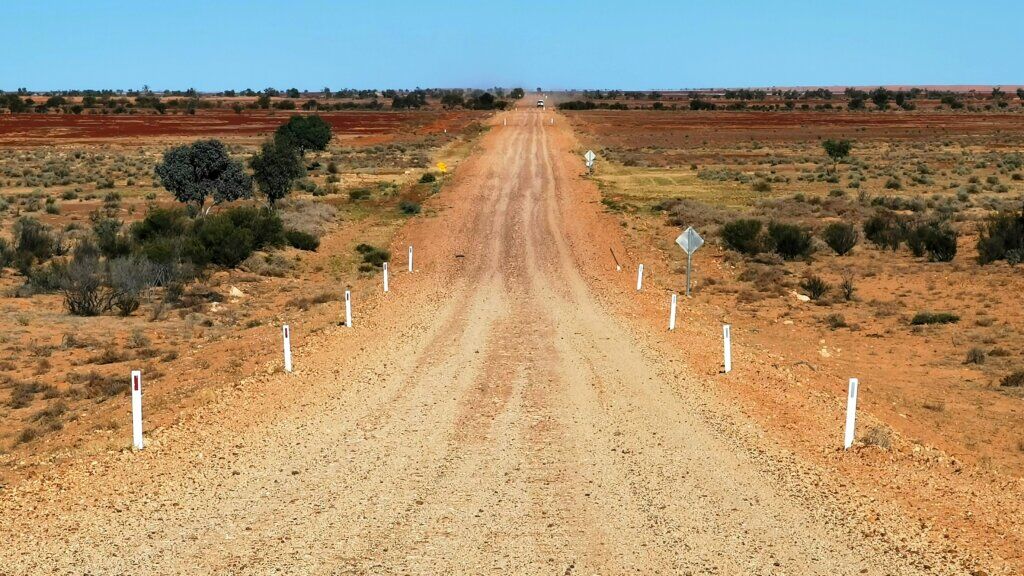
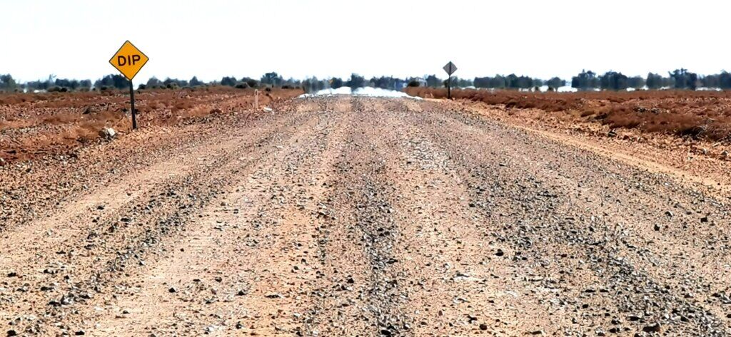
This ended up being a very slow day, pushing into a head wind in mostly gravelly, corrugated surfaces. I was unable to get any momentum all day over the loose stones. Towards the end of the day, I reached the turn off to Warburton Crossing and Blood Creek and we found a campsite 2km further along from there. I only averaged 13.3km/hr for the day!

DAY 14 | 106 km
It all started well, on some beautifully smooth surfaces and even some wind assistance, but after 25km, the track swung more to the west and the wind picked up.
Although slow, the highlight of the day was the last 25km into Mungerannie where I passed through a beautiful range, mostly covered with gibber stones with some yellow ochre pits. Mungerannie, basically a pub/restaurant and camping area, was a welcome site. A good meal, a shower and watching my football team win on the satellite TV made a satisfying end to the day.

DAY 15 | 104.5 km
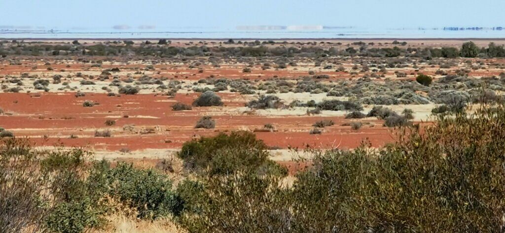
Mungerannie is situated at about the same latitude as the most northerly point of Lake Eyre. From here it was generally flatter with a few parallel sand dunes and low vegetation.
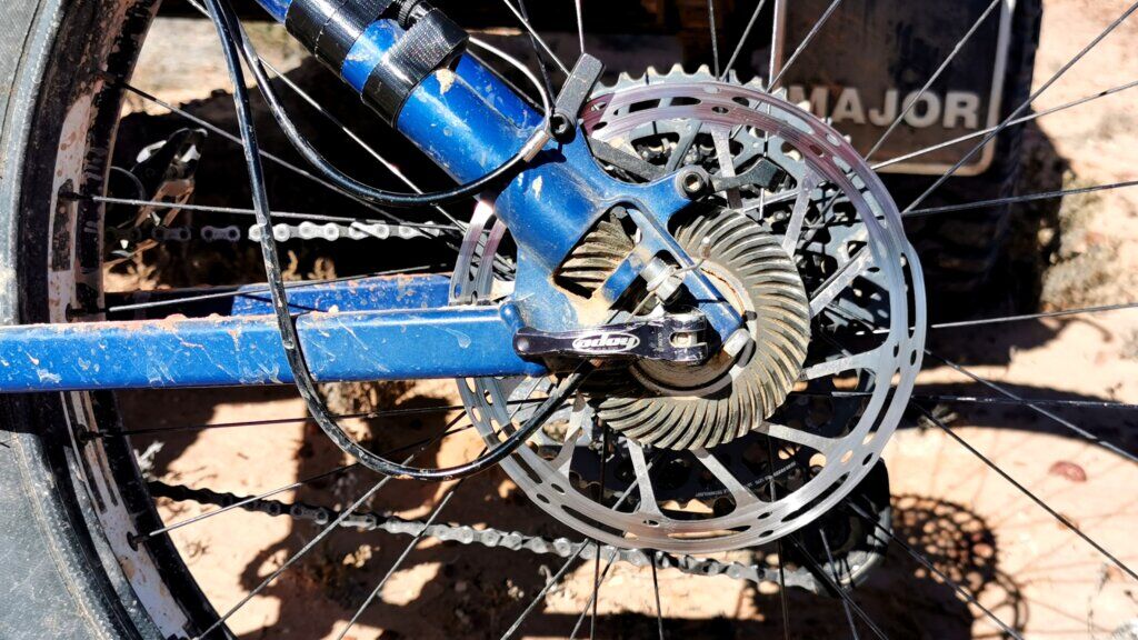
As I was about to set off, I noticed my bike was extra hard to push and quickly realised that my rear brake was rubbing. We loosened it off but noticed the rotor was a little bent and probably the cause. I pushed on for about 25km, but the extra resistance returned. After further inspection, we noticed a hairline crack indicating that the disc was weakened, probably causing the bend. Unable to bend it back and reduce the friction, all that was left to do was remove the brake entirely and get in touch with my bike shop in Melbourne. A new part will be sent to Coober Pedy, but meanwhile I must manage with only the front brake. Removing the brake, I was able to cycle about 1.5km/hr faster – very significant over a day. I think I may have been affected by this issue for several days and that explains why a seemed to be struggling to cycle at my usual speed and getting heavy legs by the end of the day.
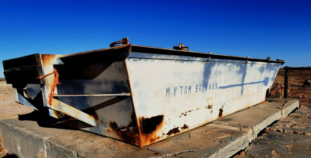
Lunch (@69km) was spent at Coopers Creek. The crossing was several kilometres wide and dry when we went through, but in times of flood, this was one of the most difficult sections to get through. To my surprise, at the top of the next hill to the south of the creek lay a monument – a small barge, the MV Tom Brennan, used to ferry people, supplies and mail across flood waters and to assist drovers with the crossing of cattle en route to the Adelaide market. I cycled until after sundown to reach our camp. A beautiful evening though it is getting pretty chilly the farther south we go.
DAY 16 | 104.5km
To Marree
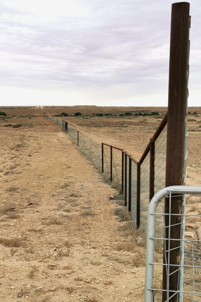
With a worrying forecast for rain in the area, we left camp earlier today. I for once had favourable conditions all day. One of the most interesting places was when we crossed the Dog Fence – the world’s longest fence, 5400km all up, it was built to protect Australia’s livestock industry and native wildlife.
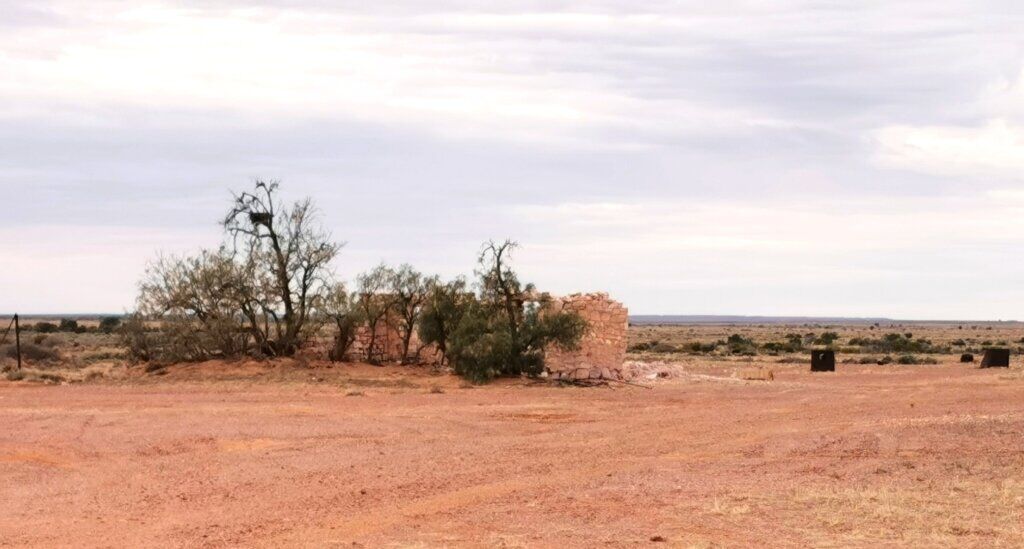
About 35km from Marree, I stopped to check out the ruins of a date farm. This would have been to satisfy the early Afghan cameleers, a large population of Afghans were living in Marree.
I was pleased to reach Marree in good time, cheered on by a few travellers at the town shop. Marree is an historically interesting small town. Situated at the rail head, it enabled produce to be shipped off to market in Adelaide and supplies sent by camel, horse and finally vehicles to all stations on the way to Birdsville.
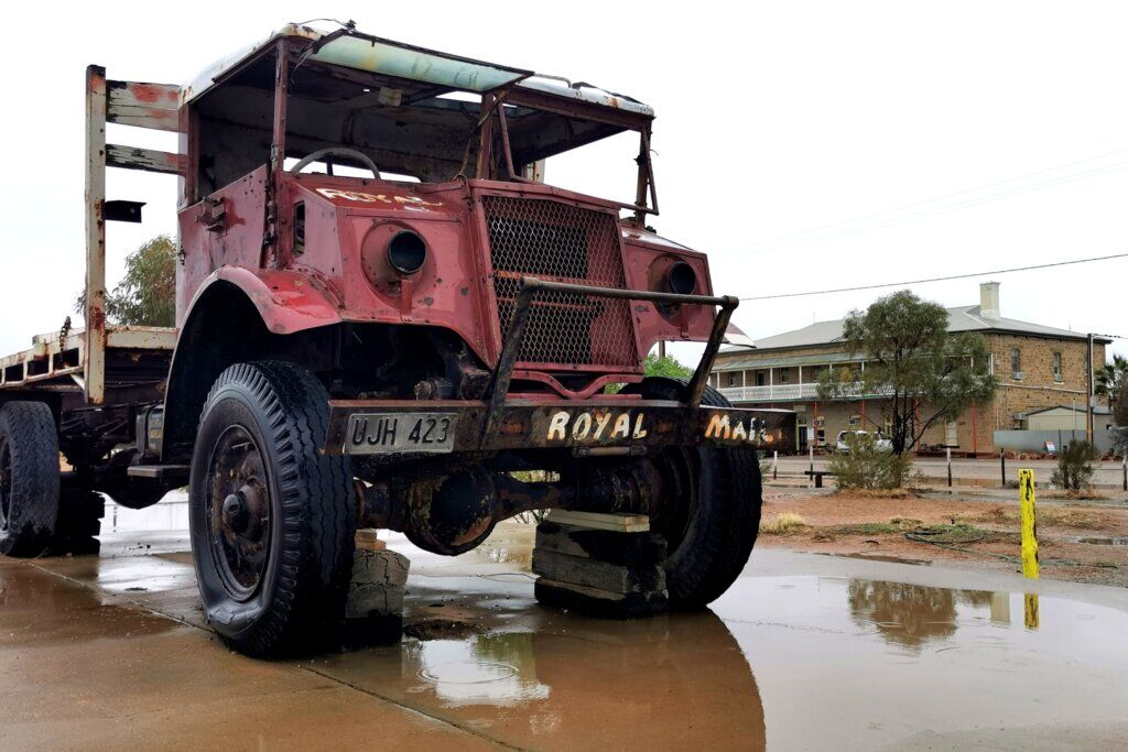
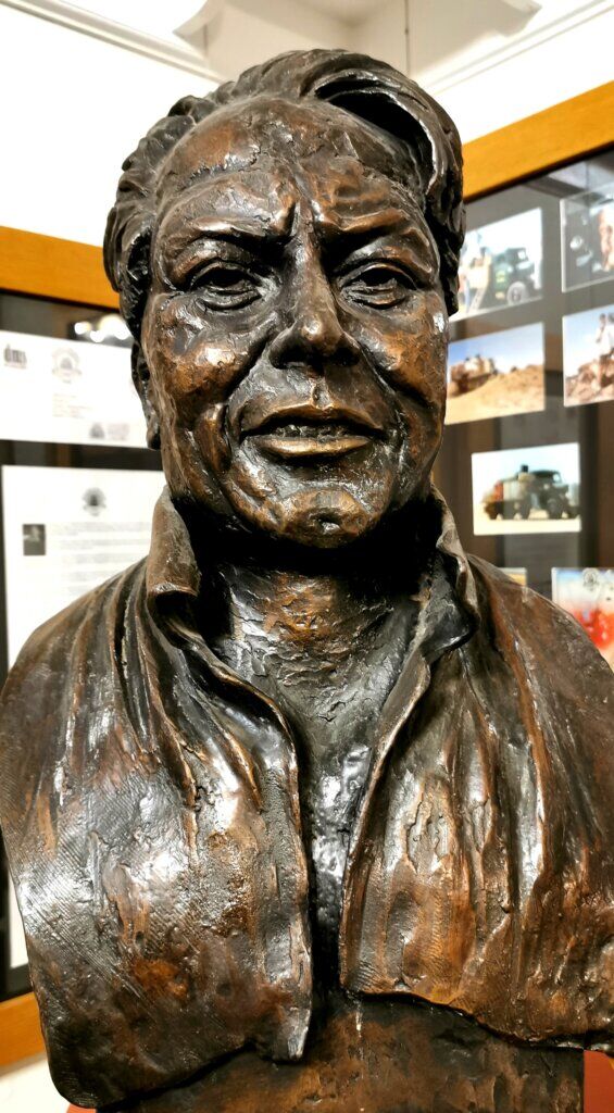
I cannot mention Marree and the Birdsville Track without mentioning the name Tom Kruse, father of the Birdsville Track mail run, who delivered mail, medicine and supplies to outback stations from the 1930s to the 1960s. He was considered by locals as “the lifeline of Birdsville”. He made his first mail run at 21 years of age.
To the people living on the Birdsville Track, Tom was much more than just the mailman. It was something they looked forward to – finding out what was happening in the outside of their isolated existence, a friendly face…they would have been waiting for a month to receive supplies, stock, machinery and much more. They depended on him.
The news I received in Marree on arrival is that the forecast rains were going to be extensive over the whole region. Both the Birdsville Track, now behind me, and the Oodnadatta Track, where I planned to go next were just closed. The news got worse – all roads in the region except the one that heads south to Port Augusta, are likely to be closed for 1-2 weeks. This weather is highly unusual for this time of year and nothing I could have planned for. It’s crazy! We are stuck and after taking a day to work everything out, have no choice but to head south to Port Augusta and then back up the Stuart Highway to get to Coober Pedy – a ride of 900km (over 500km extra distance) and no fun on a fatbike built for the sand!